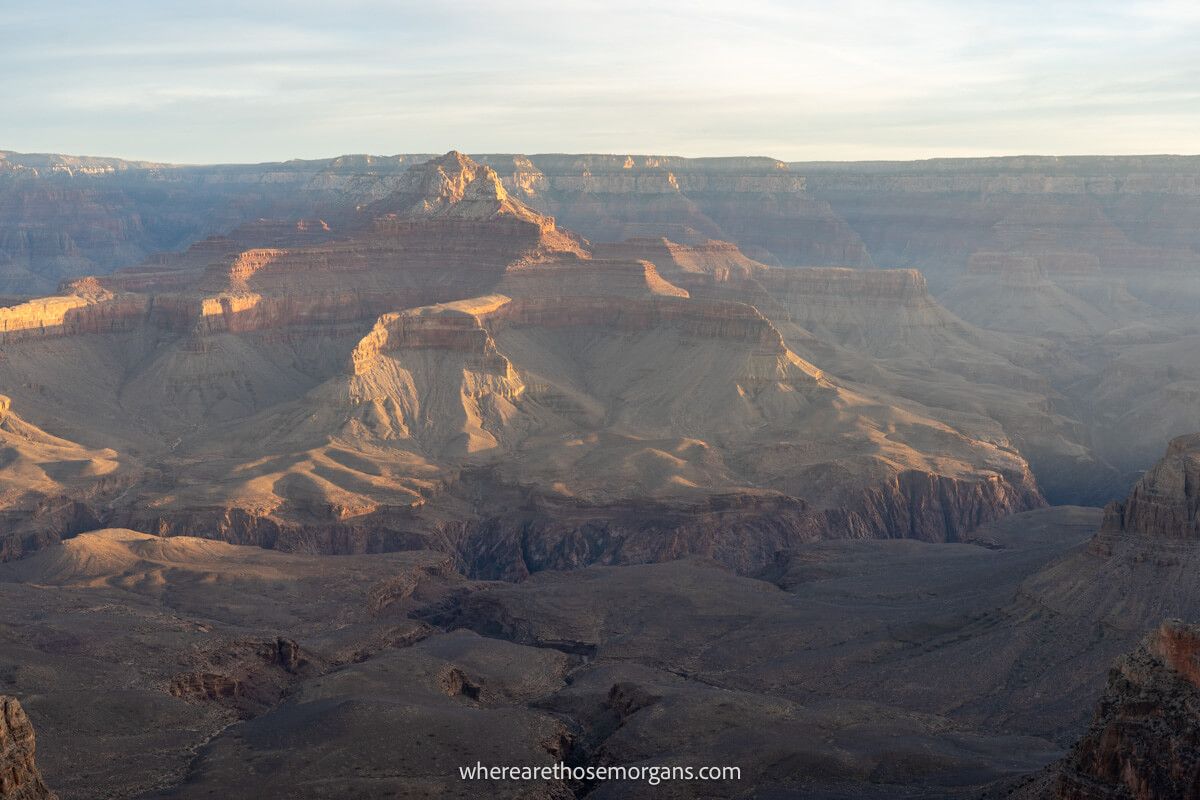
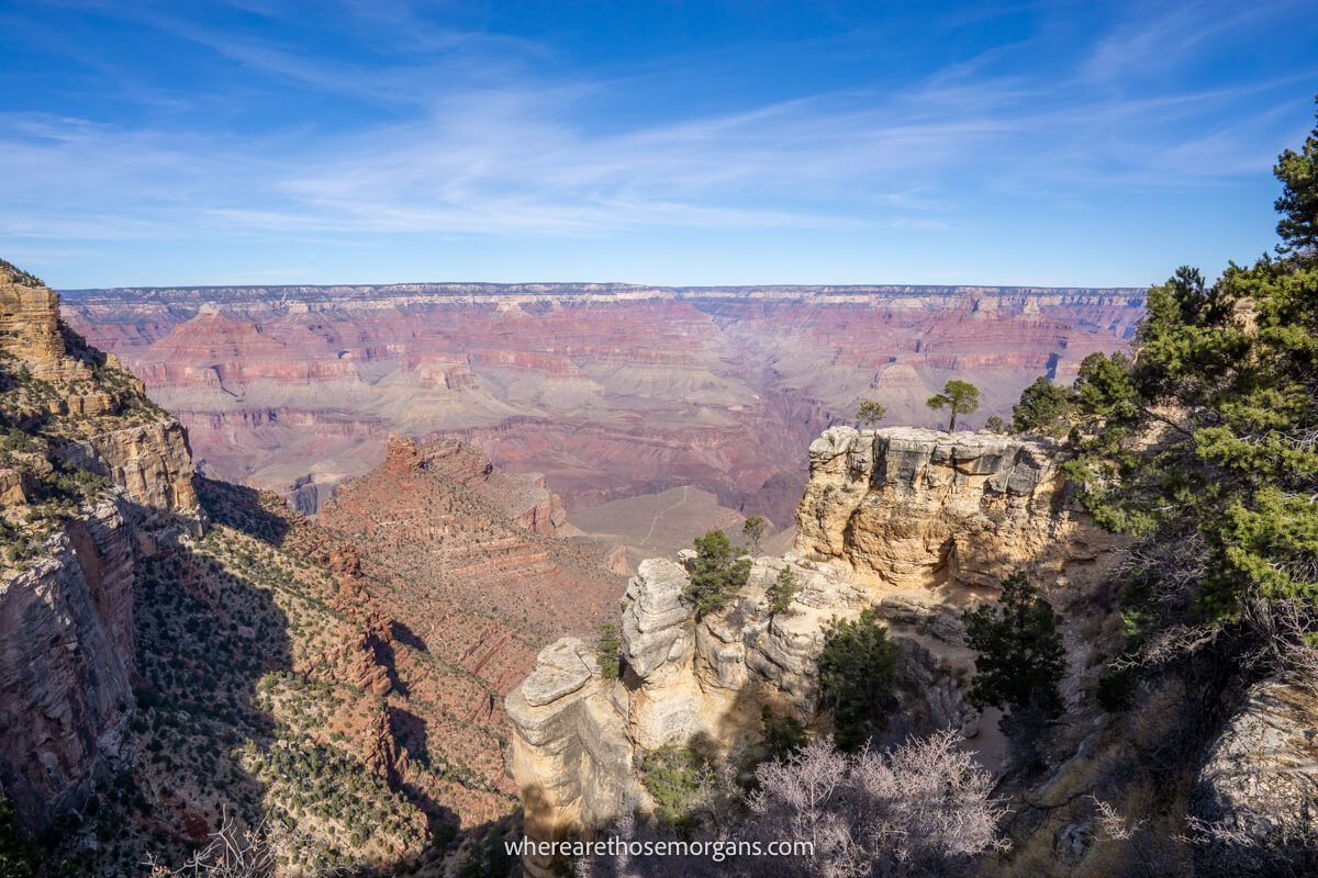
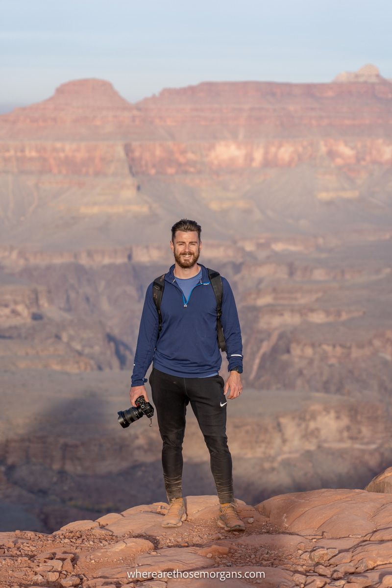
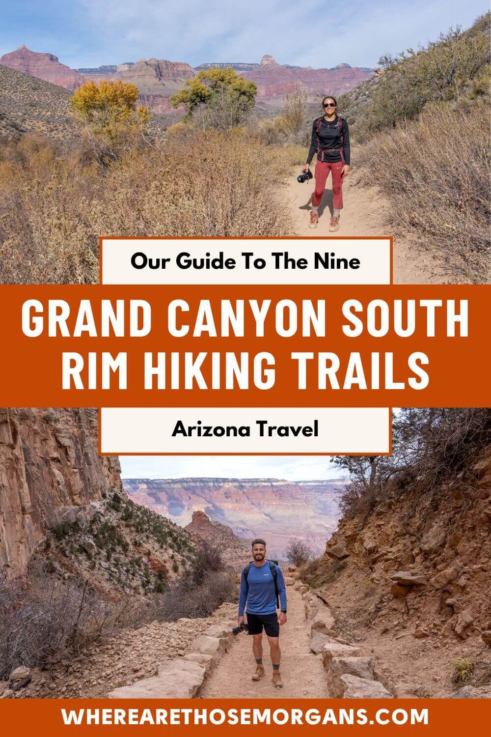
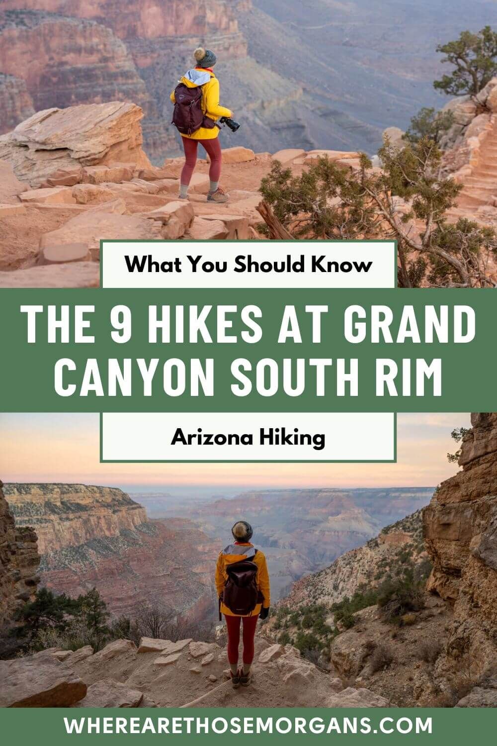
You might be surprised to hear that there are only 9 hiking trails at Grand Canyon South Rim. But don’t worry, it’s all about quality over quantity. We’ve hiked many of the trails ourselves and we have to say the views from every single trail, whether easy or hard, are truly outstanding.
In this guide we walk you through each of the hikes at Grand Canyon South Rim, based on our experiences. We list in order of difficulty from easy to hard, so you know which trails are best suited to your ability. Let’s begin!
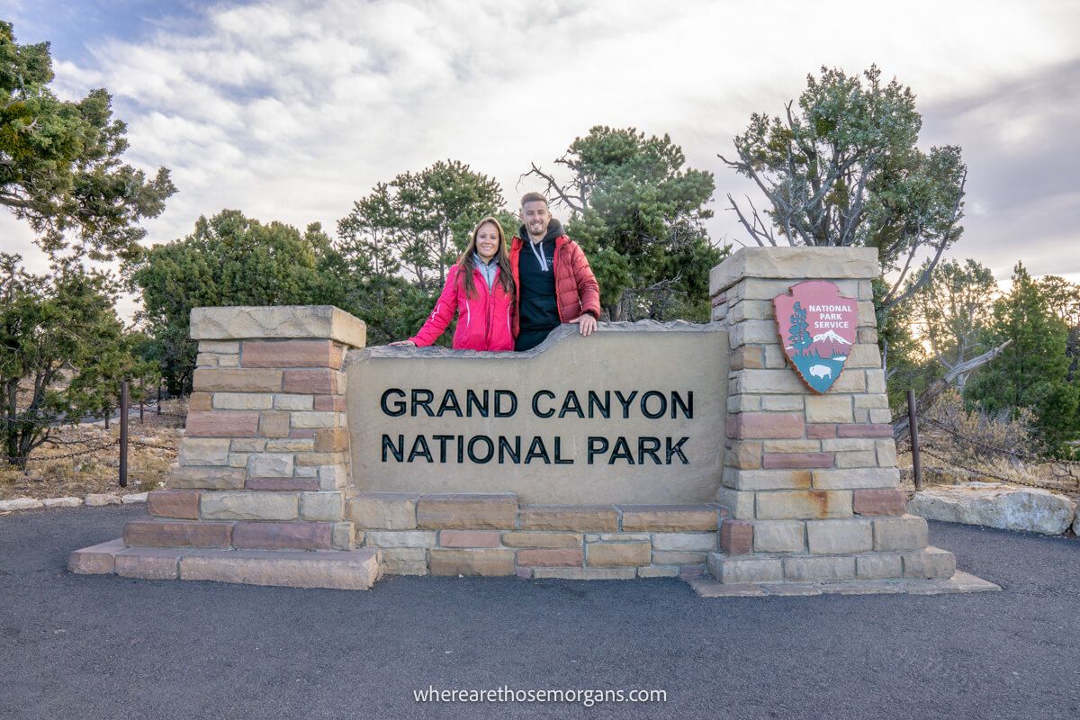
We walked a huge portion of the flat, easy and family friendly South Rim Trail on our first visit to the Grand Canyon back in November 2019. Then when we returned in December 2021, we day hiked the incredible Rim to River Trail, going down South Kaibab Trail and back up Bright Angel Trail. It was one of the most amazing hikes we’ve ever done, but it was a real challenge!
We think the South Rim Trail is a perfect hike for any visitor to the Grand Canyon because it’s easy, it connects several popular viewpoints and it’s the best way to see new perspectives into the canyon. But we think serious hikers should consider taking on Bright Angel, South Kaibab or one of the lesser known tough trails to escape the crowds. Read more about us.
Note: This article may contain affiliate links. If you make a purchase using one of these affiliate links, we may earn a small commission at no extra cost to you. Thank you!
Grand canyon Planning
📖 Ultimate Guidebook: Get our complete 37-page Grand Canyon PDF with everything you need.
📞 Personalized Grand Canyon Planning: Book a call with Mark to have your questions answered and plan the perfect itinerary.
💡 Still Planning? Read our essential first-timer’s guide to visiting Grand Canyon.
What You Need To Know
Just before we get into the trails, we want to quickly explain the most important things you need to know about hiking at Grand Canyon South Rim:
- You do not need permits to hike any trail
- Each trailhead is located on the rim
- There are no easy hikes leading into the canyon
- You should not hike into the canyon in summer
- South Rim Trail is the perfect hike for all levels
- Bright Angel and South Kaibab are the most popular trails
- Stay on top of local weather conditions
- Keep an eye on live trail updates for closures
- Check sunrise and sunset times for early and late hikes
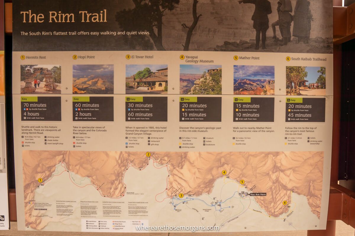
Trailheads Map
Click or touch the map below to activate, zoom in and out, and scroll around. If you’d like to see a bigger version, click the “view larger map” icon in the top right, and if you’d like to see any specific trail, click the arrow and square icon in the top left.
Map key:
- Red hikers – Trailhead locations
- Blue line – South Rim Trail
Need help planning your trip to Grand Canyon?
Our popular Grand Canyon travel guidebook helps you with planning every aspect of your visit to South Rim, including the best viewpoints and hikes, where to eat and stay, itinerary ideas and map!
View Guidebook
1. Grand Canyon South Rim Trail
- Difficulty: Easy
- Distance: 12.7 miles one way
- Type: Point to point
- Elevation Gain: 200 ft
The aptly named South Rim Trail is the easiest and most popular hike at the Grand Canyon. It follows the edge of the rim for almost 13 miles from Hermit’s Rest on the west side to South Kaibab Trailhead on the east side. The walk includes the majority of Grand Canyon’s best viewpoints, it’s flat and easy, and the park’s red shuttle bus stops at various points along the trail.
We’ve hiked most of the South Rim Trail from Hermit’s Rest to Mather Point and it’s simply magnificent. We highly recommend you walk at least a small portion of this trail when you visit the park. It’s accessible for wheelchairs and strollers from Lookout Studio to South Kaibab Trailhead, but the whole trail is suitable for able walkers. It doesn’t have a trailhead because you can access it from anywhere on the rim.
2. Shoshone Point Trail
- Difficulty: Easy
- Distance: 2.1 miles roundtrip
- Type: Out and back
- Elevation Gain: 154 ft
- Trailhead: Maps location
We think Shoshone Point is probably the best hidden gem hike along South Rim. The trailhead parking lot is unmarked and it’s very easily missed, so few know the trail even exists. The hike itself is easy and flat, leading through ponderosa forest until it reaches a 270-degree viewpoint showcasing some of the most staggering formations at the Grand Canyon.
This is the perfect hike to escape the crowds and if you want to go one further, do it for sunrise or sunset when the colors are amazing and everyone else is at the super popular viewpoints. Next time we visit South Rim, we’ll be hiking to Shoshone Point for sunrise. But it probably shouldn’t be top of your list if you only have one day at the Grand Canyon.
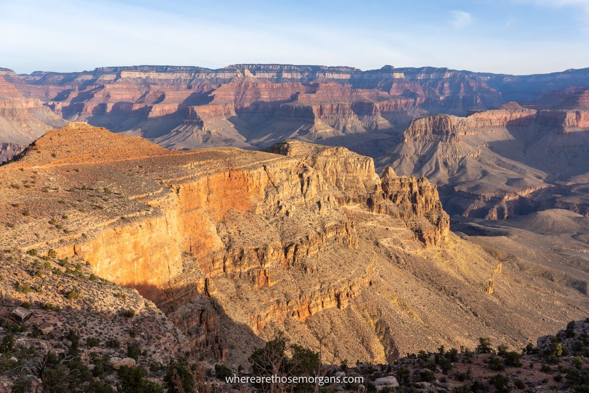
3. Grandview Trail
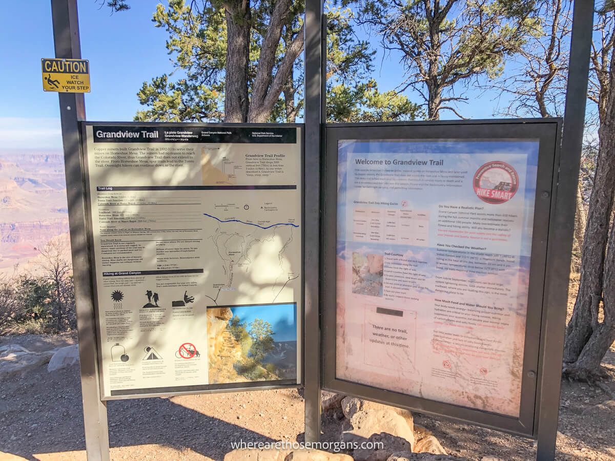
- Difficulty: Hard
- Distance: 5.7 miles roundtrip
- Type: Out and back
- Elevation Gain: 2,509 ft
- Trailhead: Maps location
Built in 1893 and originally known as the Berry Trail, the Grandview Trail connected the Rim with copper mines on Horseshoe Mesa. What makes this hike unique is that it doesn’t follow cracks or fault lines like many of the other Grand Canyon trails. Cobblestone ramps were used to build up the trail on steep sections so miners had the most direct route up and down the canyon.
The hike begins and ends at Grandview Point, about 12 miles east of Grand Canyon Village. It’s only 5.7 miles roundtrip to Horseshoe Mesa, but it’s very steep and challenging. You can complete one of two available loops if you want to add more distance and get closer to the Colorado River. This is a perfect trail for strong hikers who want to escape the crowds deep inside the canyon.
4. Bright Angel Trail
- Difficulty: Moderate-very hard
- Distance: 19.8 miles roundtrip
- Type: Out and back
- Elevation Gain: 4,314 ft
- Trailhead: Maps location
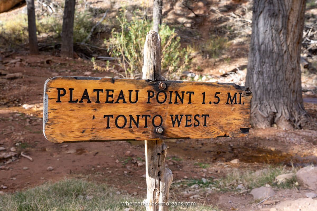
Bright Angel Trail is the most popular hike leading down into Grand Canyon South Rim because it’s easy to access in the main touristy area. It’s important to know there are several landmarks on the way down that you can use as turnaround points. So, you absolutely do not have to go the entire way down to Phantom Ranch on the canyon floor to enjoy this hike!
We climbed the full trail when we day hiked Rim to River and it really is amazing. The bottom half is especially picturesque, whereas the top half isn’t as special because the view doesn’t change until Havasupai Gardens which is around the half way point. We recommend only going down to 1.5-mile resthouse or 3-mile resthouse if you’re a beginner hiker or the weather is hot.
Here are the landmark turnaround points on the trail:
- 1.5 Mile Resthouse – 3 miles roundtrip (1,120 ft elevation change)
- 3 Mile Resthouse – 6 miles roundtrip (2,120 ft elevation change)
- Havasupai Gardens – 9 miles roundtrip (3,040 ft elevation change)
- Plateau Point – 12 miles roundtrip (3,080 ft elevation change)
- Phantom Ranch – 19.8 miles roundtrip (4,314 ft elevation change)
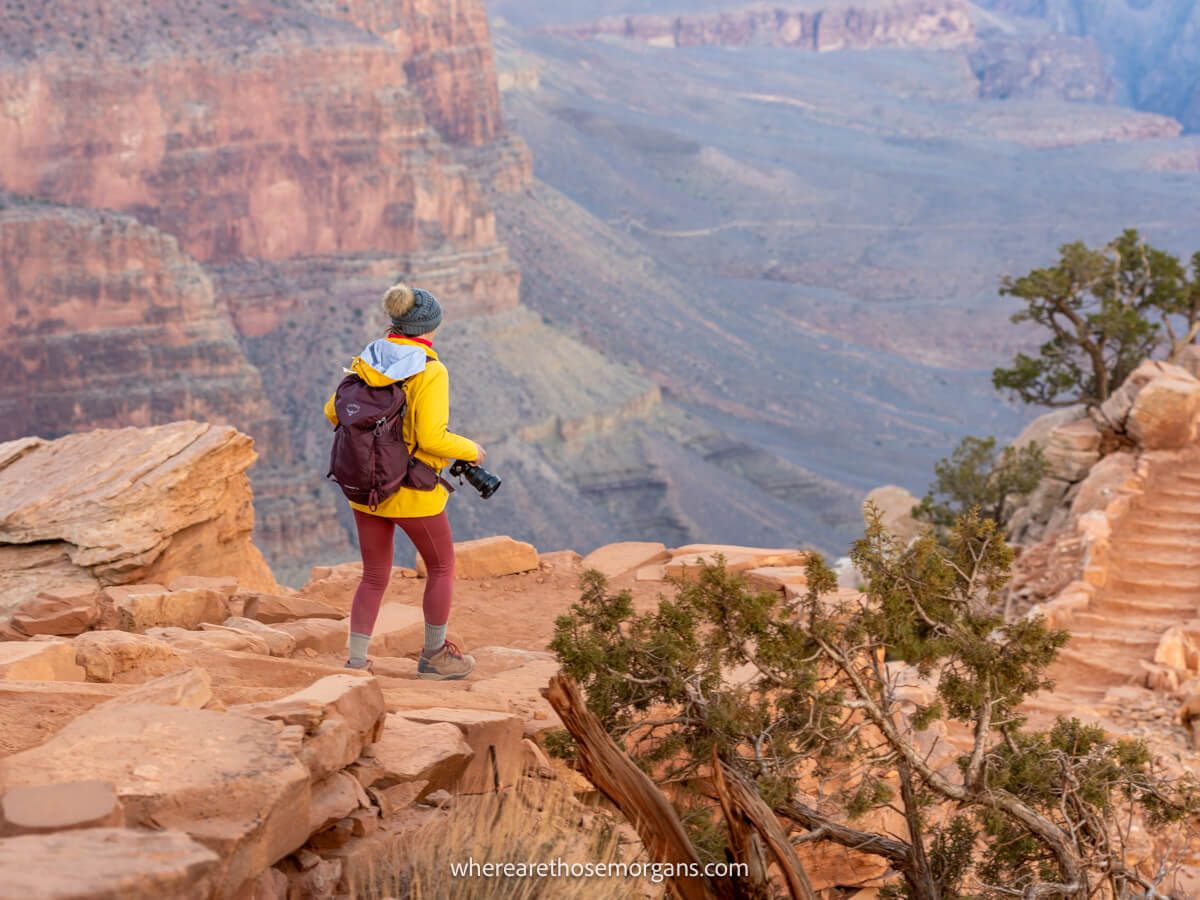
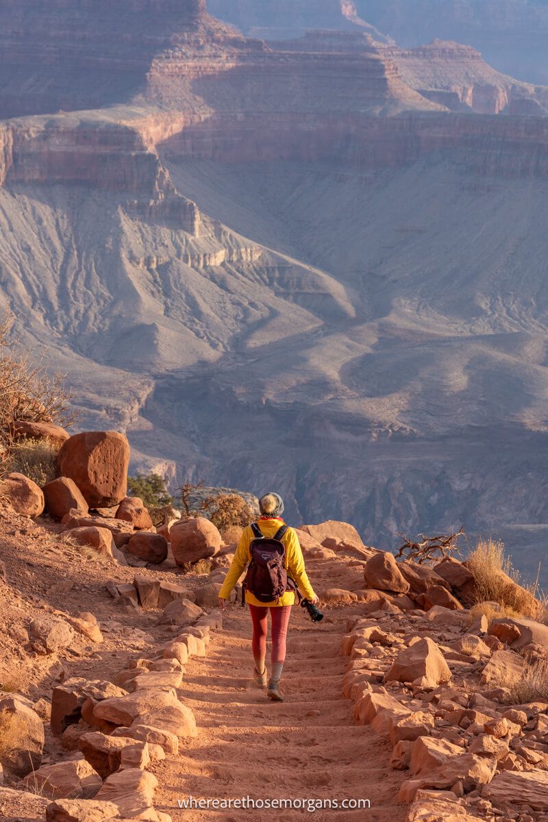
5. South Kaibab Trail

- Difficulty: Moderate-very hard
- Distance: 14.6 miles roundtrip
- Type: Out and back
- Elevation Gain: 4,700 ft
- Trailhead: Maps location
South Kaibab Trail is our favorite hike leading down below Grand Canyon South Rim because it’s incredibly scenic, varied and direct. It’s steeper, shorter and less convenient to access than Bright Angel Trail, but we think it’s the better trail. Again, you do not have to hike all the way down to the Colorado River to enjoy this hike because it has lots of landmark turnaround points.
We descended the full South Kaibab Trail to the Colorado River when we day hiked Rim to River and it blew us away. The terrain, formations, views and trail itself were awesome throughout the whole hike. We recommend only going down to Ooh Ahh Point or Cedar Ridge if you’re a beginner hiker or it’s too hot. On a side note, Ooh Ahh Point is a fantastic sunrise photo spot to escape the crowds.
Here are the landmark turnaround points on the trail:
- Ooh Ahh Point – 1.8 miles roundtrip (790 ft elevation change)
- Cedar Ridge – 3 miles roundtrip (1,120 ft elevation change)
- Skeleton Point – 6 miles roundtrip (2,040 ft elevation change)
- The Tipoff – 9 miles roundtrip (3,280 ft elevation change)
- Phantom Ranch – 14.6 miles roundtrip (4,700 ft elevation change)
6. Hermit Trail
- Difficulty: Very Hard
- Distance: 17.5 miles roundtrip
- Type: Out and back
- Elevation Gain: 5,059 ft
- Trailhead: Maps location
The Hermit Trail once served a luxury camp along Hermit Creek back in the early 1900’s. Today, it’s the only hiking trail leading down into the western areas of Grand Canyon South Rim. It has barely any hikers and no mules, so it’s a surefire way to escape the crowds. It’s a rocky, eroded and tough route but it leads to various formations that are seldom seen by visitors to the park.
The upper section of the trail is very steep, dropping almost 2,000 ft within the first few miles. Points of interest along the hike include Dripping Springs, Santa Maria Spring, Cathedral Stairs, Tonto Trail Junction, Hermit Creek and Hermit Rapids. All water sources require purification and they also dry out so take enough of your own fluids and do not rely on the natural sources.
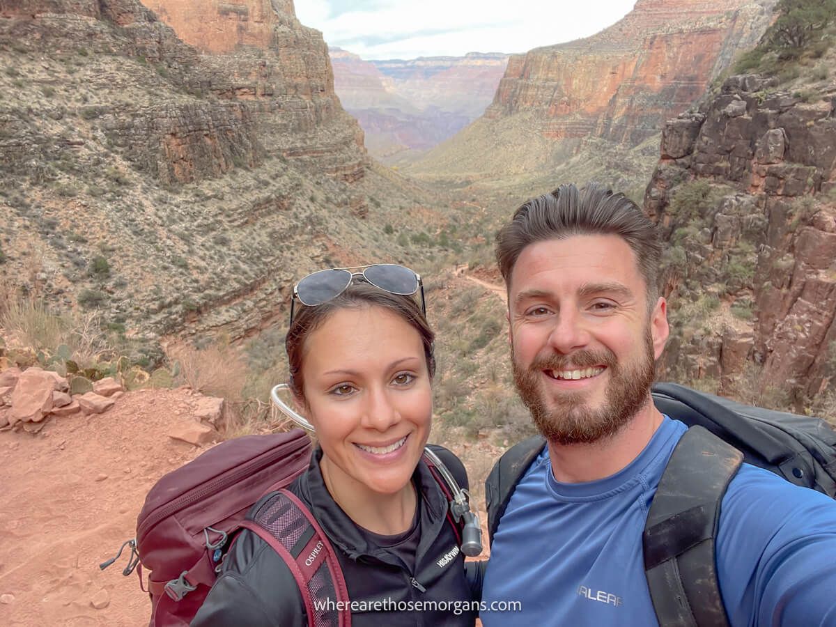
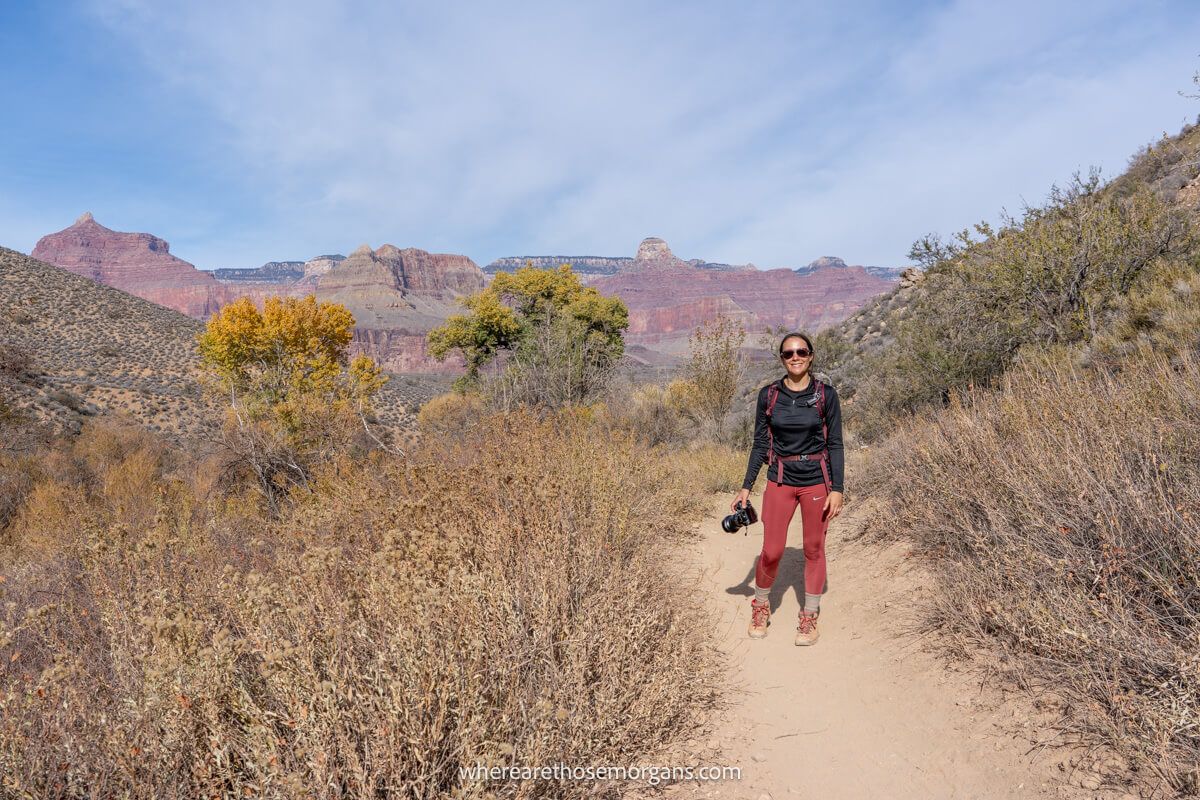
7. Rim To River Trail
- Difficulty: Very Hard
- Distance: 19.2 miles total
- Type: Point to point
- Elevation Gain: 4,340 ft
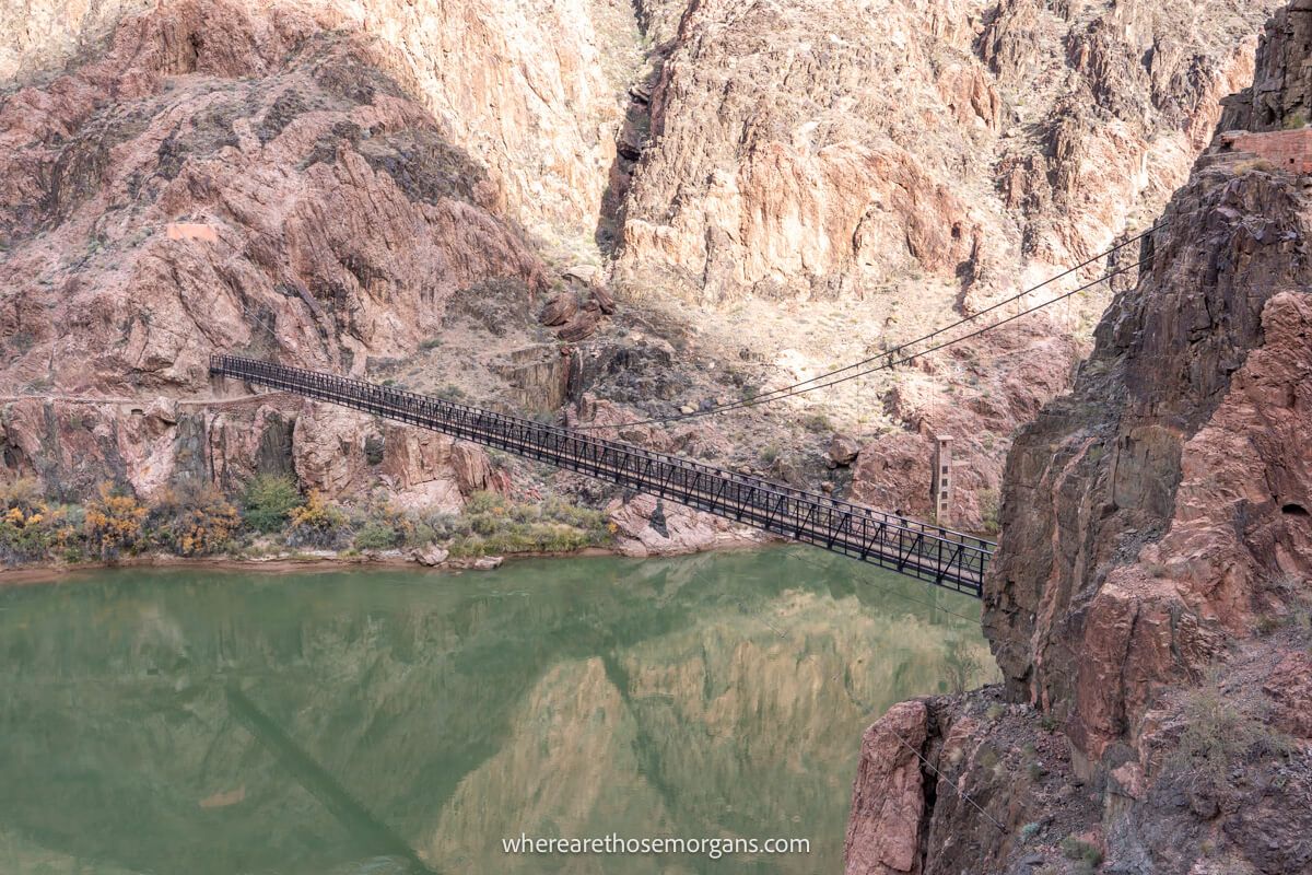
Our day hike on the Grand Canyon’s iconic Rim to River Trail was one of the most unforgettable experiences we’ve had in the US. We set off at first light, watched sunrise at Ooh Ahh Point, had our minds blown as we dropped down to the Colorado River, ate lunch at Phantom Ranch and then climbed over 4,000 feet back to the rim. It was incredible, but it wasn’t easy!
You can hike down and up either of the two trails, but the most commonly used (and route we took) is down South Kaibab and up Bright Angel. That way you go down the steeper trail and back up the more gradual trail later in the afternoon. It took us 8 hours and 50 minutes in perfect conditions in December. Only attempt this trail if you’re a very strong hiker and temperatures are cool.
8. Rim To Rim Trail
- Difficulty: Very Hard
- Distance: 20.4 miles one way
- Type: Point to point
- Elevation Gain: 5,269 ft
Rim to Rim is the ultimate Grand Canyon National Park hike and it’s near the top of our bucket list. This mammoth 20-miler connects North Rim and South Rim with spectacular scenery throughout. Now, North Rim is 1,000 ft higher in elevation, so many hikers choose to begin on North Kaibab Trail, drop down to the Colorado River and climb back up either Bright Angel Trail or South Kaibab Trail to South Rim.
The major issue is that North Rim opens mid-May and closes mid-October each year, so the shuttle bus running back to South Rim only operates in those few months. As a result, the hike has to be done in months when temperatures can be dangerously high. We recommend the last week of May or first week of October to give yourself the best chance of having safe conditions.
9. Tonto Trail
- Difficulty: Very hard
- Distance: 95 miles one way
- Type: Point to point
- Elevation Gain: Varies
Tonto Trail is an inner canyon trail running 95 miles in length from Garnet Canyon to Red Canyon. Very few hikers take on the entire trail because it would be a multi-day backcountry hike with camping. Plus, accessing both ends of the trail would require going back on yourself because there’s no direct access to either terminus.
We’d love to track alongside the Colorado River for 95 miles with nobody around, how cool does that sound? But it’s a big time commitment and it would require serious planning for safety. Most people use Tonto Trail to shorten day hikes leading down from South Rim into the canyon. For instance, the Rim to River hike can be shortened by taking Tonto from Havusapai Gardens to The Tipoff.
Park Shuttles
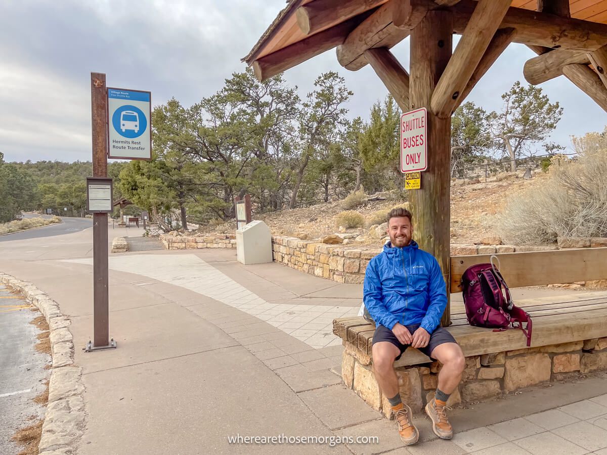
You should take advantage of free Grand Canyon South Rim shuttle buses to access popular hiking trailheads. Here’s what you need to know:
- Red shuttle – Runs west to Hermit Trailhead
- Orange shuttle – Runs east to South Kaibab Trailhead
- Hikers express – Early morning shuttle to South Kaibab Trailhead
- Blue shuttle – Village bus from Bright Angel Trailhead to the visitor center
We took the Hikers Express before sunrise to begin hiking South Kaibab Trail, then took the blue shuttle back to the visitor center after we returned to the rim at Bright Angel almost 9 hours later. We’ve also used the blue shuttle several times to access sunset photo spots along Hermit Road.
Hiking Tips
- The best times to visit Grand Canyon for hiking are spring, fall and winter because temperatures are safe.
- Temperatures can be dangerously high in summer which might lead to dehydration, heat exhaustion or heat stroke.
- Summer thunderstorms also bring lightning. If you hear thunder, get indoors or take shelter on trails if possible.
- Temperatures increase 5.5°F every 1,000 ft that you descend in the canyon, which can make a huge difference.
- Carry plenty of water and never depend on water sources, but always have a way to purify water in case you run out.
- Keep track of your time, especially if hiking in the winter when daylight hours are shorter.
- Always carry a headlamp in case you end up hiking in the dark. Do not rely solely on your phone flashlight.
- As a general rule of thumb, plan for it to take twice as long to climb out of the canyon as it does to hike down.
The Morgan Conclusion
Grand Canyon South Rim is an amazing place to hike but it’s not as inclusive as you might imagine. The only hike we recommend for all visitors is the South Rim Trail because it’s flat, easy and passes by many of the top viewpoints. But we also think Shoshone Point is a superb hidden hike that’s also easy enough for most visitors.
Hiking along the rim is one thing, but dropping down into the canyon is when things get exciting. Bright Angel and South Kaibab are the two famous trails leading below the rim. We love both but we think South Kaibab has the more diverse views. Strong hikers can go down to the river and back, hike to North Rim or get off the beaten path on Grandview Trail or Hermit Trail.

We hope our guide to Grand Canyon South Rim’s hiking trails helps with planning your visit to northern Arizona!
Please let us know if you have any questions in the comments box a little further below.
Happy Travels,
Mark and Kristen
Find this guide helpful? Pin it for your visit!
All Rights Reserved © Where Are Those Morgans, LLC. Republishing this article and/or any of its contents (text, photography, maps, graphics, etc.) in whole or in part is strictly prohibited.

Mark and Kristen spent 6 years traveling the world, visiting over 40 countries across 4 continents and more than 30 US states. They created Where Are Those Morgans in 2018 to help others plan the best possible vacations by writing authentic travel and hiking guides based on their real experiences.
Since the arrival of baby Maya in late 2024, Mark and Kristen’s extensive travels have slowed down but they still take plenty of trips. Where Are Those Morgans now helps millions of travelers each year to visit new places and hike new trails through information-packed blog posts and expert travel guidebooks. Read more about Mark and Kristen.
Hi from Texas!
Enjoyed your tips. We are coming to Sedona in about 3 weeks and planning a day trip to the south rim. We plan to arrive there by 8:30am & stay til it’s too hot (we are from TX, lol) I’ve narrowed down our hike to either Bright Angel to the 1.5 mile guesthouse or South Kaibab to Cedar Ridge. I believe both would be 3 miles roundtrip. Between those 2, which would u recommend for best views/photo spots? (I think you said South Kaibab, but maybe just to cedar ridge isn’t as great) Also, after the hike- we should do the driving tour with spots to stop? Where do we start that? Thanks so much
Hi Lisa, we’re glad to hear you’ll be visiting South Rim from Sedona – both places are fantastic. Definitely go with South Kaibab to Cedar Ridge. The views are far more varied and striking, and the actual hike is more fun. You should still go stand at the top of Bright Angel Trail – but what you see on the rim is what you’ll see the whole way down to 1.5 mile rest house. Whereas on South Kaibab you’ll actually get different viewing angles than what you can see at the rim. The only thing to consider of course is heat exhaustion and dehydration – in June the canyon will be baking hot so start the hike as early as possible. After the hike, walk along the rim from South Kaibab to Bright Angel so you can also see Mather Point and Yavapai Point. Then hop on a shuttle bus up Hermit Road to see the westernmost viewpoints and/or drive your car along Desert View Drive to see the easternmost viewpoints. You can get all that done on a day trip if you don’t stop for a long sit down lunch and don’t stop at every single viewpoint. To save time, skip the shuttle bus up Hermit Road – those viewpoints are better at sunset anyway. Hope that helps, and enjoy your time in Sedona and Grand Canyon!