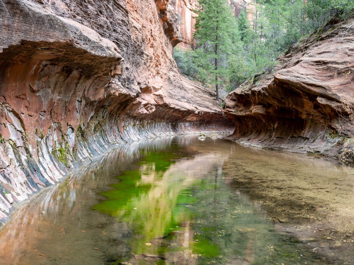
Would you like to hike an easy and scenic trail that’s slightly less jam-packed than the most popular hikes in Sedona? We know it’s rare, but trust us it is possible. You just have to drive 10 miles up 89A to West Fork of Oak Creek Trail. There are some downsides to this hike which we’ll explain, but overall it’s a great trail for the whole family and it’s quieter than the more famous hikes closer to town.
In this guide we show you exactly how to hike West Fork Trail in Sedona, based on our experiences. Let’s begin!
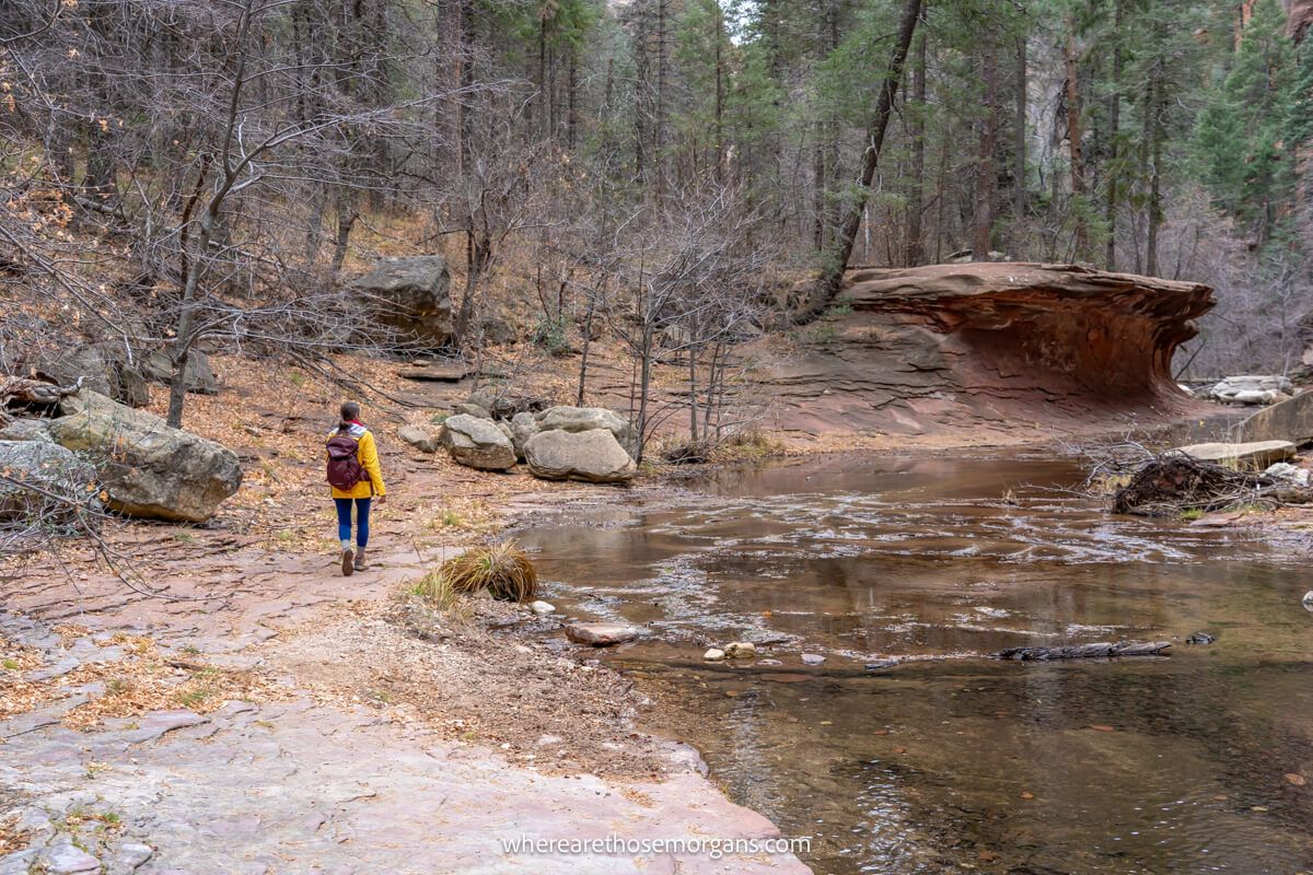
We’d just left Grand Canyon South Rim ready for 8 full days in Sedona, and we decided to stop to hike West Fork Trail on the drive down because it was the most efficient way to include it in our itinerary. We arrived to a quiet parking lot on a cool December morning, paid to park (one of the downsides) and hiked all the way to the end.
It was a relaxing, quiet and peaceful hike through a picturesque forest with multiple creek crossings and a subway tunnel ending which was really cool. Was it our favorite hike in Sedona? No, not even close. But it did turn out to be one of the least heavily trafficked trails we did in our 8 days, so it was definitely a trade-off. Read more about us.
Note: Our content is reader supported and contains affiliate links. If you make a purchase through one of these links, we may earn a small commission at no extra cost to you and it helps us keep this site running.
SEDONA Planning
📖 Ultimate Sedona Guidebook: Get our complete 50+ page offline PDF with everything you need for Sedona.
📞 Personalized Sedona Planning Call: Book a 60 minute call with Mark to have your questions answered, optimize your itinerary, avoid tourist traps and get our best insider tips.
💡 Still Planning? Read our essential first-timer’s guide to visiting Sedona.
Trail Map
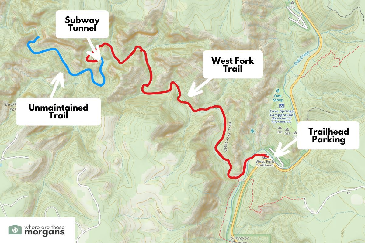
West Fork Trail is a simple hike with no hidden spurs or pathfinding elements. It’s just straightforward out and back hiking from the trailhead to a very obvious climax at a natural subway tunnel submerged in water (red line in our photo above). The path is heavily beaten and well marked so you won’t get lost along the way. There is a wilderness trail
Have you heard of Subway Cave in Sedona or Zion’s Subway hike? They both end at impressive tunnel-like geological formations, and West Fork’s is similar but less striking. We strongly encourage you to hike all the way to the end so you can see the subway tunnel formation because it’s by far the best part of the trail.
Trail Statistics
- Distance: 7.5 miles roundtrip
- Elevation Gain: 500 feet
- Difficulty: Easy/moderate
- Time: 3-4 hours
In our opinion, West Fork Trail is on the easier end of moderately difficult. The maintained path is mostly flat or gently undulating but it does have a total of 13 river crossings requiring the use of stepping stones. And towards the end there are some steeper sections. What takes it from easy to moderate is the longer distance and hiking time.
Wilderness Hike
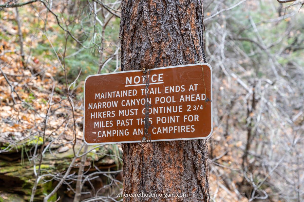
One important thing you should be aware of before arriving is that West Fork Trail goes beyond the official path into a wilderness area (it’s the blue line in our map a few photos above). Now, 99% of hikers will turn around at the subway tunnel, but you are allowed to continue hiking through the water and beyond the subway tunnel for up to 14 miles one-way which would be a total of 28 miles roundtrip.
Most hikers who continue into Red Rock Wilderness are camping or backpacking, but on a hot day you could just wade through the subway tunnel and back if you have the correct shoes on. Your kids can also go in the water and swim because there’s no current and the water is shallow. If the hike is busier than expected, it will be much quieter after the tunnel.
Trailhead Parking
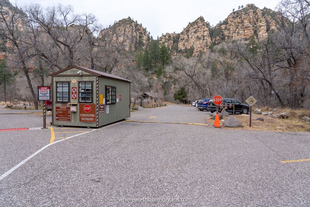
West Fork Trail has its own dedicated off-road parking lot with enough spaces for around 50 or so cars. That might sound a lot, but Sedona is a wildly popular hiking destination and trailhead parking lots are often full. With that said, in our experience (although it was in December), parking at this trailhead was much easier than the likes of Devils Bridge Trail and Cathedral Rock Trail.
If you visit in peak months, on a weekend or on a holiday, you should plan to arrive at West Fork Trailhead either very early in the morning (before 7:30am) or much later in the afternoon so you don’t have to wait in line for a space. Set your maps app for “West Fork Oak Creek Trailhead”, which is around 10 miles north of Sedona on highway 89A.
Entry Fees
Upon arrival you’ll pass through an entrance kiosk and according to the Forest Service entry fees for West Fork Trail are $12 per vehicle (up to 5 people). But if you arrive by foot, bicycle or bus it’s only $3 per person. There are restrooms at the trailhead.
Note: You cannot use your America the Beautiful Pass and the only other pass accepted here is the Grand Annual Red Rock Pass, which is only worth buying if you’re a local or you plan to spend a lot of time hiking in Sedona over the next year.
Parking Hours
- April 1 to October 31 – 7:00am to dusk
- November 1 to March 31 – 8:00am to dusk
Trail Walkthrough
Now, let’s walk through the hike exactly as we did it so you know what to expect.
1. Pay And Park
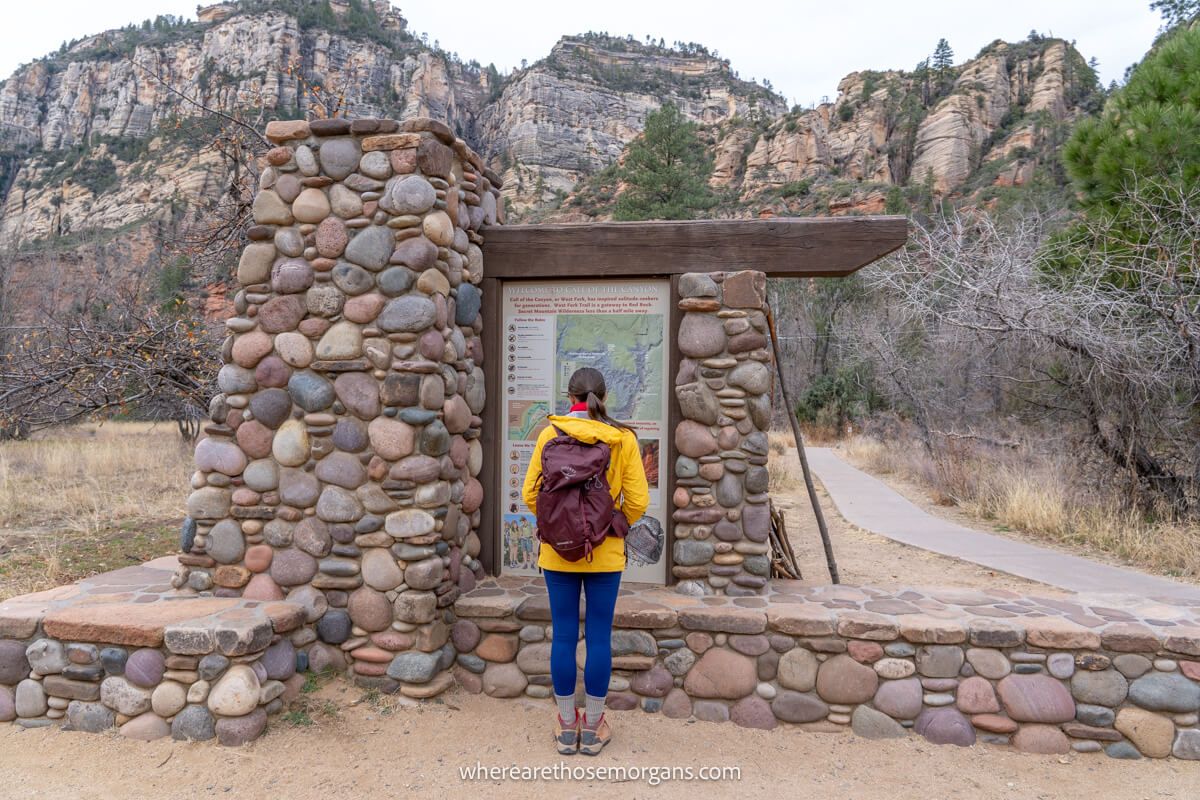
We arrived at the trailhead parking lot around mid-morning, paid to enter (by credit card) and had no issues getting parked. There were only around 8-10 other cars in the lot. Next, we grabbed our backpacks, used the restrooms and checked out the trailhead information boards.
2. Cross The Bridge
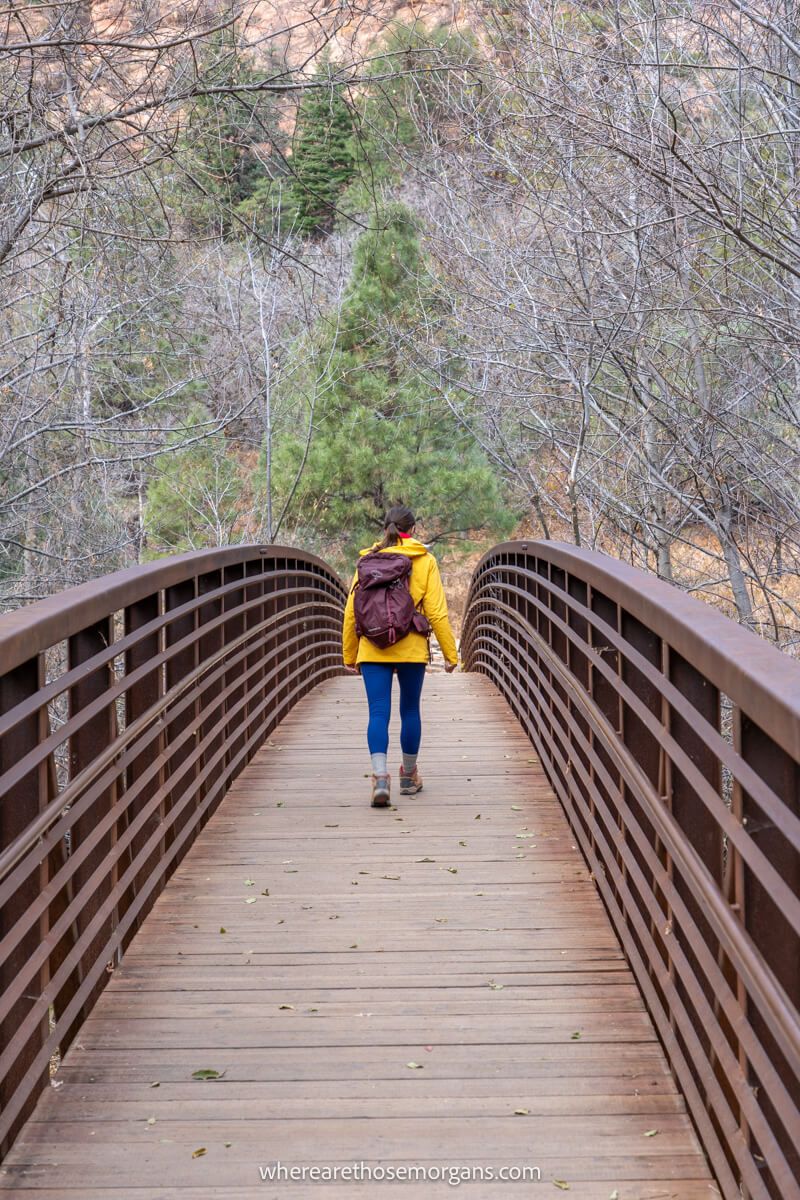
We left the parking lot on its west side and got on Call of the Canyon Trail, a narrow but paved path which led us quickly to a bridge crossing over Oak Creek. On the other side we took a left turn and followed the creekside on a dirt path until reaching a small collection of old ruins that weren’t especially interesting.
3. Creek Crossings
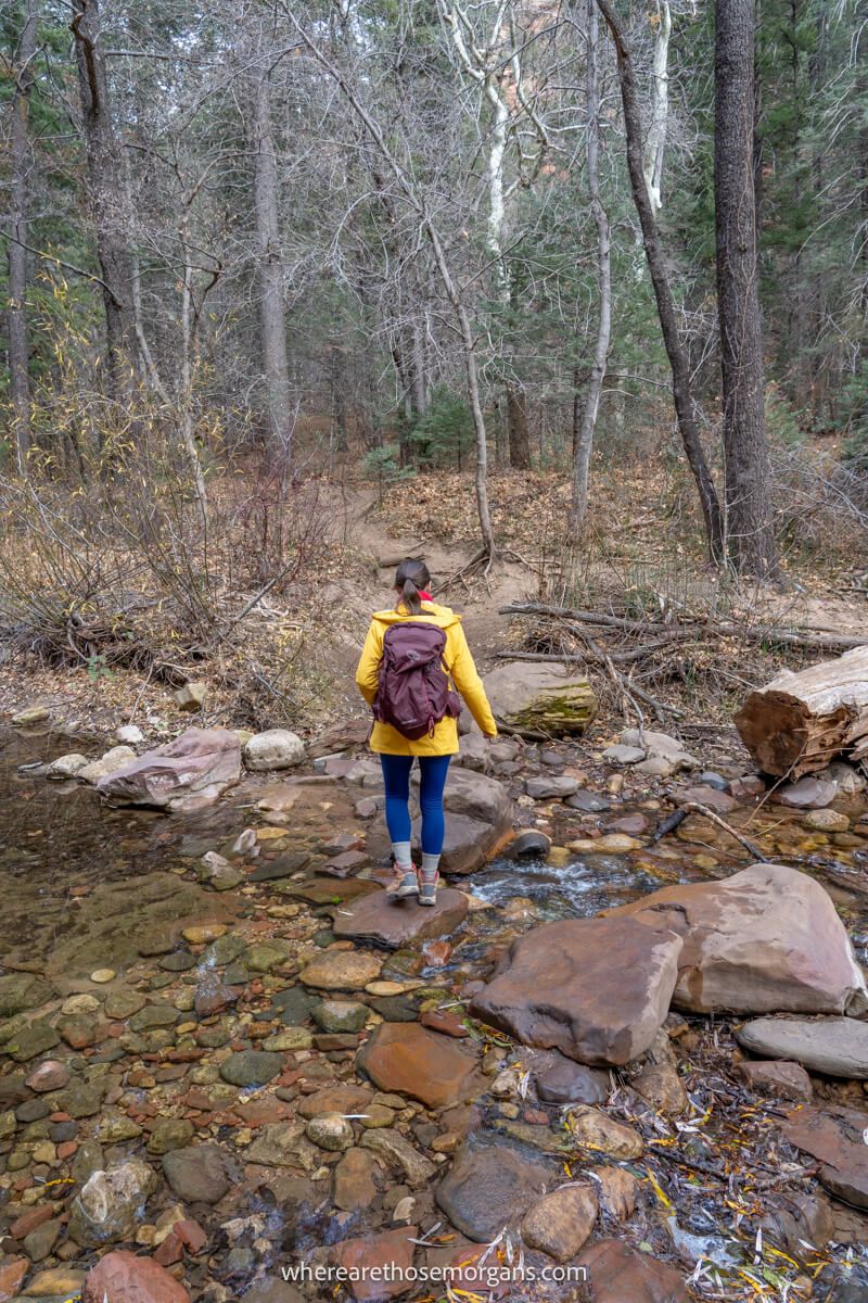
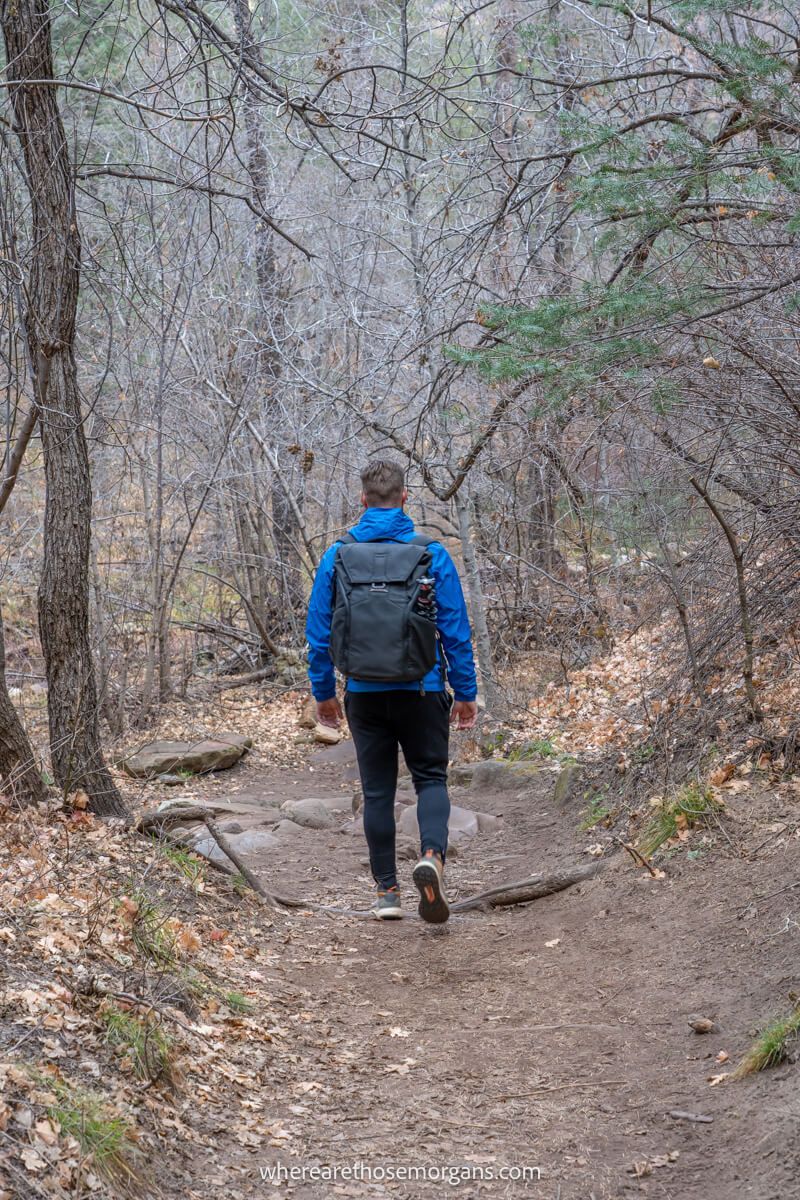
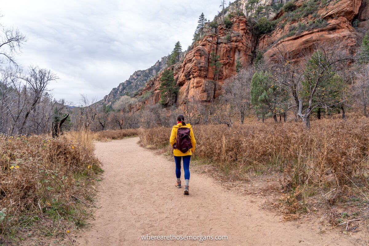
Call of the Canyon Trail transitioned into West Fork Trail as it met Oak Creek and this was where the hike really began. Over the next 3 miles we crossed the creek 13 times, using stepping stones and large rocks to keep our feet dry. In spring the water levels will be higher so you might not be able to avoid getting wet. We found the forested trail very easy and the scenery was excellent throughout.
Need help planning your trip to Sedona?
Our Sedona travel guidebook gives you hidden gem hiking trails, secret caves, vortex sites, ancient ruins, wineries, jeep trails, photo spots, where to eat and stay, 1-5 day itinerary ideas and much more. Plus, you’ll get an exclusive map to use in Sedona!
View Guidebook
4. Rock Formations
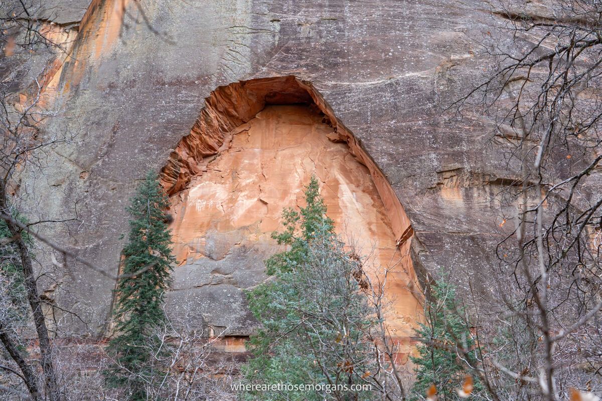
One thing we must mention is that it’s important to look up, down, around and backwards when you hike this trail because most of the best scenery isn’t directly ahead of you. We noticed enormous towering red rock cliffs, photogenic arches in the cliff faces and smooth semi-subway tunnels forged into lower rock faces next to Oak Creek.
5. Subway Tunnel
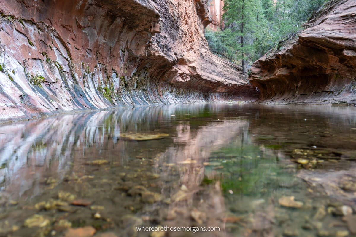
The last half mile or so before the subway tunnel was more adventurous with some gentle bank climbs and elevation change. But eventually, after a long and easy hike we reached the end of the official trail. We knew it was the end because the trail disappeared under water and into a large natural red rock tunnel.
6. Return Journey
We spent around 30 minutes at the trail end, eating snacks and refueling, taking photos and testing the December water temperature to see if we were brave enough (we weren’t!). Then we turned around and went back the exact same way. We took things at a super relaxed pace and with the half hour stop at the tunnel our total time was 3 hours 10 minutes.
Best Time To Hike West Fork Trail
Like almost all hikes in Sedona, parking at West Fork Trailhead can be a real issue if you visit in peak seasons like spring or fall. Summer is slightly less busy, but visiting in winter will give you the best chance of avoiding parking problems.
Our advice is to arrive before 7:30am if you hike in spring, summer or fall. Otherwise, don’t arrive until the morning and midday rush have left by around 2:30pm (as long as there’s enough daylight left for a 3-4 hour hike).
We hiked West Fork Trail when we visited Sedona in December and the parking lot was almost empty. The weather was cool but hiking temperatures were perfectly comfortable and there were barely any others on the trail, which gave us a bit of a lost world feel.
What To Pack
Footwear: Footwear with good grips and traction will help with navigating the creek crossings along Oak Creek. If you want to go beyond the subway tunnel and into the wilderness you should bring water shoes or similar.
Water: You’ll be out hiking for anywhere between 3-4 hours, which means you’ll need to carry plenty water. Summer months require more water and even electrolyte drinks.
Sun protection: Sunglasses, sun hats, long layers and sunscreen are vital if you visit Sedona in Summer. Most of the trail is shaded by trees but the sun will still break through periodically.
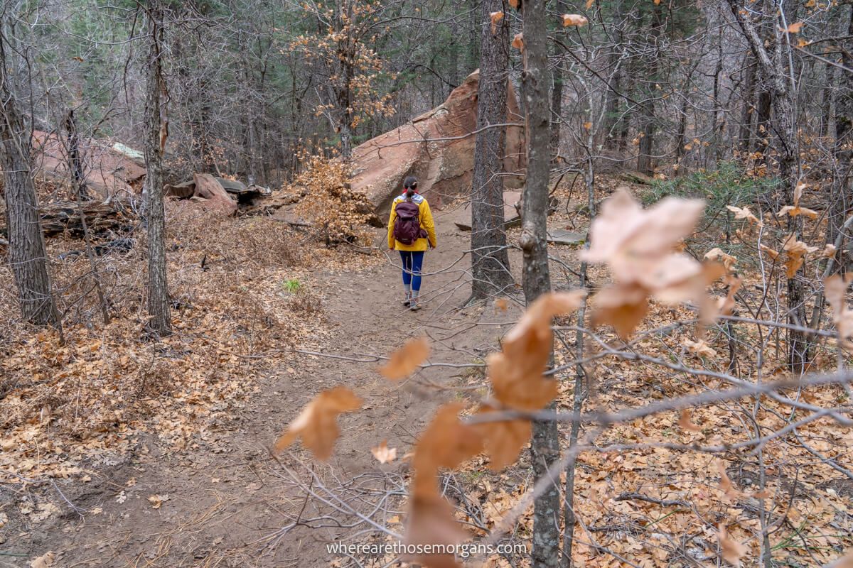
Winter: Early starts and late finishes can be cold in Sedona during the winter. Trust us, we know. We wore long pants instead of shorts and light coats instead of t-shirts to stay warm but comfortable.
The Morgan Conclusion
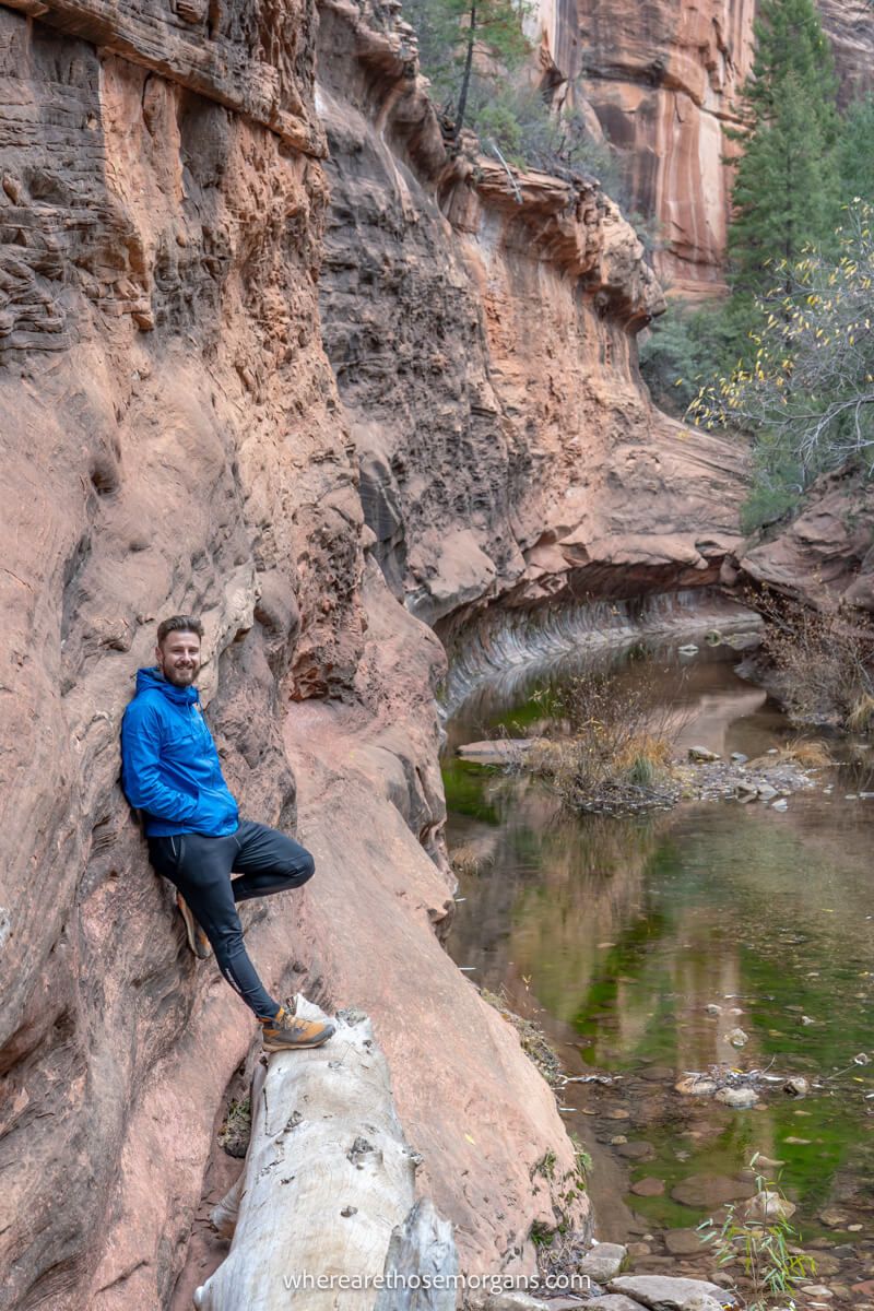
What we liked: We found West Fork Trail to be easy, enjoyable, peaceful and picturesque. The subway tunnel at the end made for great photos and the scenery throughout was lovely. Plus, it was much quieter than most other hikes we did in Sedona (here’s our Sedona travel guide to see more). We’re also sure this hike would be more exciting after passing through the subway tunnel.
What we didn’t like: The parking fees here are unusually high and we’re not sure why. The hike is good, but there are much more exciting and adventurous hikes in Sedona. It’s also 10 miles drive from town and there’s a bunch of great trails much closer, so it only makes sense if you’ll be driving into or out from Sedona via highway 89. Finally, we didn’t experience it but parking can be a real problem in peak seasons.
Is West Fork Trail worth it? The answer is yes for some visitors and no for others. It has a 4.8/5 rating on both Google and AllTrails with thousands of reviews, so overall it’s clearly a hiker favorite. But it does seem to divide opinion. Some hikers say it’s the best hike in Arizona or the most beautiful hike in Sedona, but then others say it’s boring or underwhelming. We think it’s a great hike for families with younger kids and beginners, but it’s not the hike to do in Sedona if you’re looking for adventure.

Next Steps
We hope our West Fork Trail guide helps with planning your trip to Sedona.
Don’t forget you can book a travel planning video call with us if you’d like our expert help organizing your trip to Sedona. We can answer any questions you have or walk through a personalized itinerary to make the most of your time.
Still researching for your trip?
- Here’s our first-timer’s Sedona guide
- These are the things not to miss in Sedona
- Here are the top 5 areas to stay in Sedona
- These are the hikes not to miss in Sedona
- Here’s our Sedona itinerary for 1-5 days
- This our detailed 7 days Sedona itinerary
Finally, if you’ll be visiting more places on the same trip, we recommend reading our Arizona travel guide for more helpful tips and advice.
Happy Travels,
Mark and Kristen
Find our guide helpful? Pin it for your visit!


All Rights Reserved © Where Are Those Morgans, LLC. Republishing this article and/or any of its contents (text, photography, maps, graphics, etc.) in whole or in part is strictly prohibited.

