The best way to see Airport Mesa vortex site and scenic lookout in Sedona is to hike a short connecting path called Sedona View Trail. We hiked the trail out and back to see the amazing views on both ends, and we think it’s definitely worth including on your Sedona itinerary. Our advice is to park at the lookout in late afternoon, hike down to see the vortex site and return to the viewpoint in time for sunset.
In this guide we explain everything you need to know about hiking Sedona View Trail between Airport Mesa vortex site and the popular sunset viewpoint, based on our experience.
Our Experience
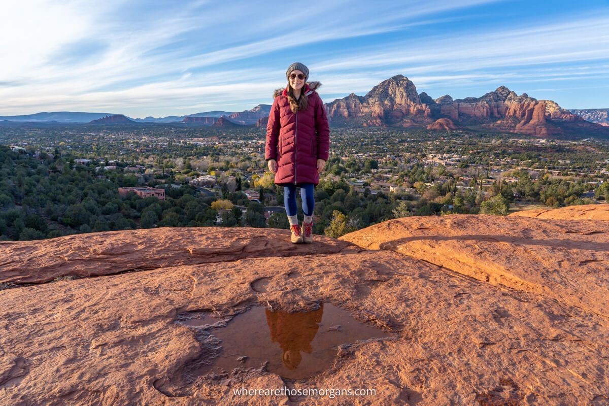
Airport Mesa was near the top of our list for sunset photo spots during our 8 day stay in Sedona. So we arrived in good time, hiked down the gradually descending Sedona View Trail to enjoy views over Bell Rock from Airport Mesa vortex site, and then hiked back up to the scenic viewpoint to watch a stunning sunset unfold over the red rock landscape.
We found the hike to be very easy but it was busy and the trail is narrow. It took us around 15 minutes to slowly walk down, and maybe 20 minutes to slowly walk back up the hill. We spent half an hour at the vortex site, and we stayed at the sunset viewpoint until long after the sun had set because colors in the sky were beautiful. Read more about us.
Trail Details
- Distance: 1.4 miles roundtrip
- Elevation Gain: 250 feet
- Difficulty: Easy / Moderate
- Time: 1 hour
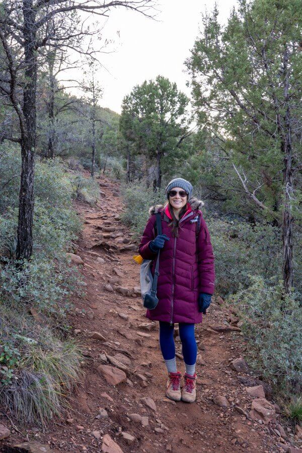
Sedona View Trail is a 0.7-mile hike on a gradual, dirt packed path with lots of stones and rocks sticking out. We recommend wearing robust shoes for the hike. From the scenic viewpoint, it’s all downhill to reach the vortex site. And if you hike it both ways for a total of 1.4 miles, it’s all back uphill from the vortex site to the scenic viewpoint. You can park at either end of the trail and hike it in either direction.
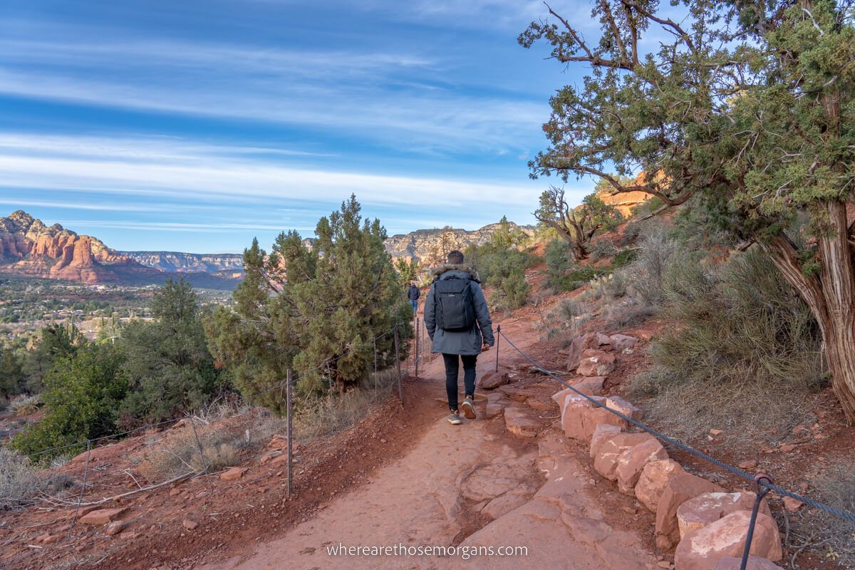
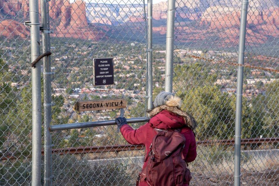
As you can see in our photo above, the trail is quite narrow and steep. We had to stop a few times to let others pass by when the path became congested and bottlenecked at narrower sections. Otherwise, it’s a really simple and easy walk with great views overlooking the town of Sedona throughout.
Airport Mesa Vortex Site
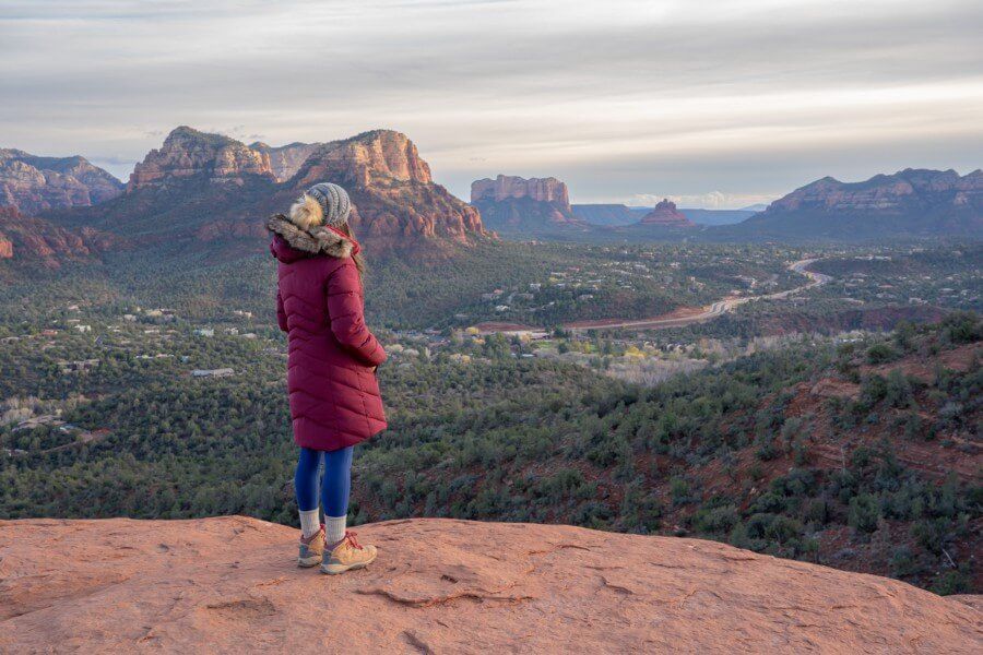
Sedona’s Airport Mesa vortex site is a small flat-topped red rock mound located at the bottom of Sedona View Trail. After climbing steep and uneven slick rock steps, you’ll arrive at an elevated viewpoint with excellent views over Bell Rock, Courthouse Butte and the tall eastern mountains. But Airport Mesa is also one of Sedona’s major vortex sites, and it’s said to emit a radiating energy.
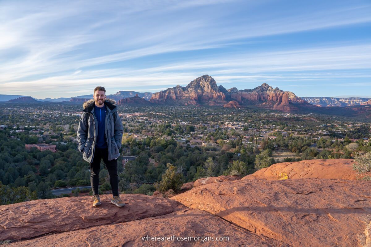
We thought the views over eastern and southern Sedona were fantastic from Airport Mesa vortex site. It’s well worth seeing, but views over the built up downtown area were lacking because it’s much lower down in elevation. We don’t recommend staying at the vortex site for sunset because the hill in front will prevent you from seeing the sun set on the horizon.
Sedona Airport Mesa Scenic Lookout

Airport Mesa scenic viewpoint is Sedona’s famous sunset photo spot with far reaching views over downtown backed by towering red rock formations. You’ll have an awesome 180-degree line of sight from the small gravel viewing area next to the large parking lot. It’s really simple to access and enjoy, so don’t miss it when you visit Sedona.
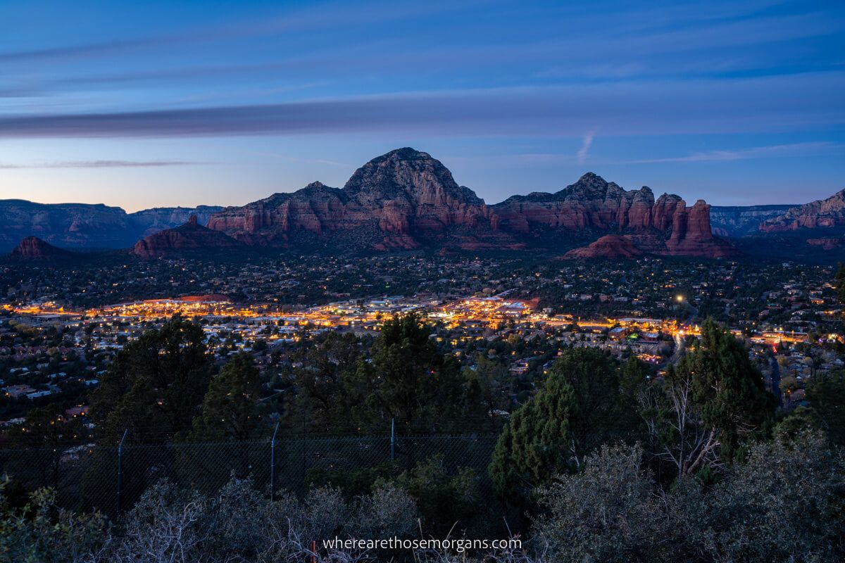
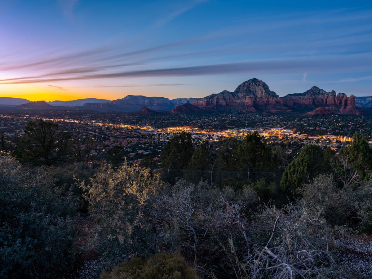
We really enjoyed the sunset view from Airport Mesa scenic viewpoint. After setting up our tripod and camera, we watched the sun disappear and stayed for 30 minutes more to see downtown light up and wait for the sky to transform into deeper colors. We recommend hiking back up Sedona View Trail to arrive around 30 minutes before sunset time (check times here).
Parking And Fees
Airport Mesa scenic viewpoint and vortex site have different parking areas at the top and bottom of Airport Road respectively. Remember, you can park in either lot and hike Sedona View Trail to reach the other area. Here’s what you need to know:
Airport Mesa Vortex Site Parking
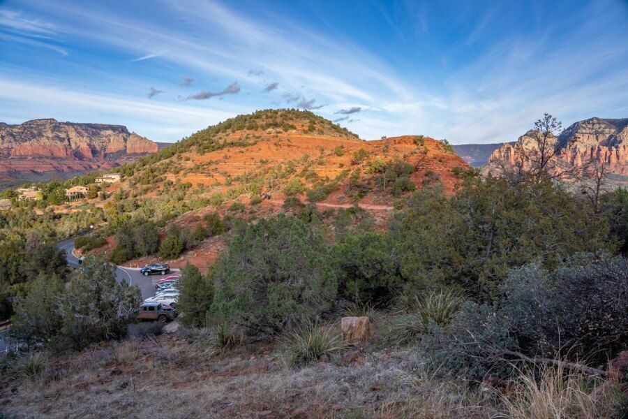
You can park for free at Airport Mesa vortex site, but spaces are limited to around 10-12 vehicles including one disabled parking space. You can see the small roadside parking lot in the bottom left of our photo above.
Parking here gives you instant access to the vortex site, then you’d hike up Sedona View Trail to the scenic viewpoint. On the plus side parking is free, but on the downside you’d have to walk back down the trail in the dark after sunset.
- Here’s the Google Maps location you need to use for parking at Airport Mesa vortex site
Airport Mesa Scenic Lookout Parking
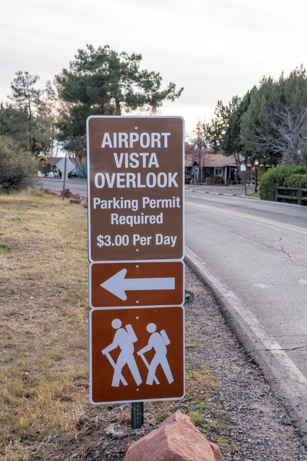
Parking at Airport Mesa scenic lookout costs $3 per day. The lot is much larger and it has plenty of parking spaces. To reach it you’ll continue beyond the vortex site parking area, climb the hill and take a left as you arrive at a pedestrian crossing. This will bring you to a kiosk where you’ll pay to enter.
We parked in the paid lot so we could hike straight down Sedona View Trail to the vortex site and be back up to the viewpoint in time for sunset. We were happy to pay $3 and avoid a hike in the dark. Note that if you only want to see the sunset, you should park in the paid lot at the top of the hill.
- Here’s the Google Maps location you need to use for parking at Airport Mesa scenic lookout
Sedona Airport Loop Trail
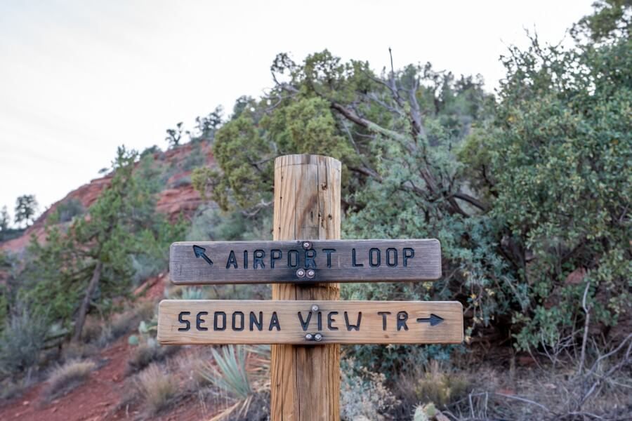
Airport Loop Trail is a completely separate hike to Sedona View Trail. Here’s the difference:
- Sedona View Trail is out and back, simply connecting the scenic lookout to Airport Mesa vortex site
- Airport Loop Trail encircles the entire airport, beginning and ending at the vortex site parking lot
Airport Loop Trail is a very rocky 3.5-mile loop trail with excellent views throughout. If you have lots of time available on your itinerary or you arrive very early for the sunset, it’s worth taking on the loop if you’re a confident and strong hiker. If you have trouble parking in the smaller vortex site lot, you’ll have to hike View Trail to the loop and back.
Sedona Airport Mesa Map
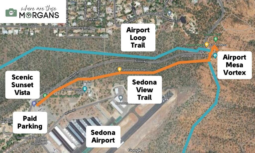
Map key:
- Orange Line – Sedona View Trail from sunset vista to vortex site
- Blue Line – Airport Loop Trail circling the airport
Study the map so you can see the layout of Airport Mesa. The paid parking area is immediately next to the sunset viewpoint, whereas the free parking area is immediately next to the vortex site, which is also where Airport Loop Trail starts and ends.
Sedona View Trail Walkthrough
Next, we’re going to show you a walkthrough of our hike along Sedona View Trail, including photos from every step.
1. Scenic Lookout Parking
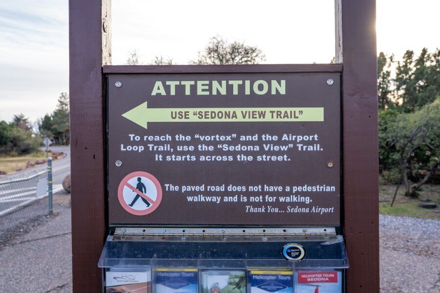
We paid $3 to park in the larger Airport Mesa scenic viewpoint lot at the top of the hill around 2 hours before sunset. Not bothering to look at the view just yet, we headed straight for Sedona View Trail so we could get down to the vortex site as quickly as possible.
2. Hike Down Sedona View Trail
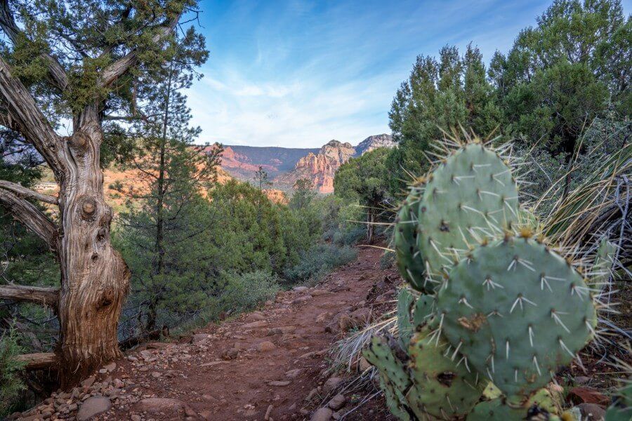
We followed signs for the trail and passed through a door within a tall metal fence. Remember to close this fence when you pass through to prevent deer running onto the runway. The trail was rocky and narrow but it had wonderful views to the left side over town and red rocks. It began by descending gradually but it did get steeper in the middle.
3. Climb Up To Airport Mesa Vortex Site
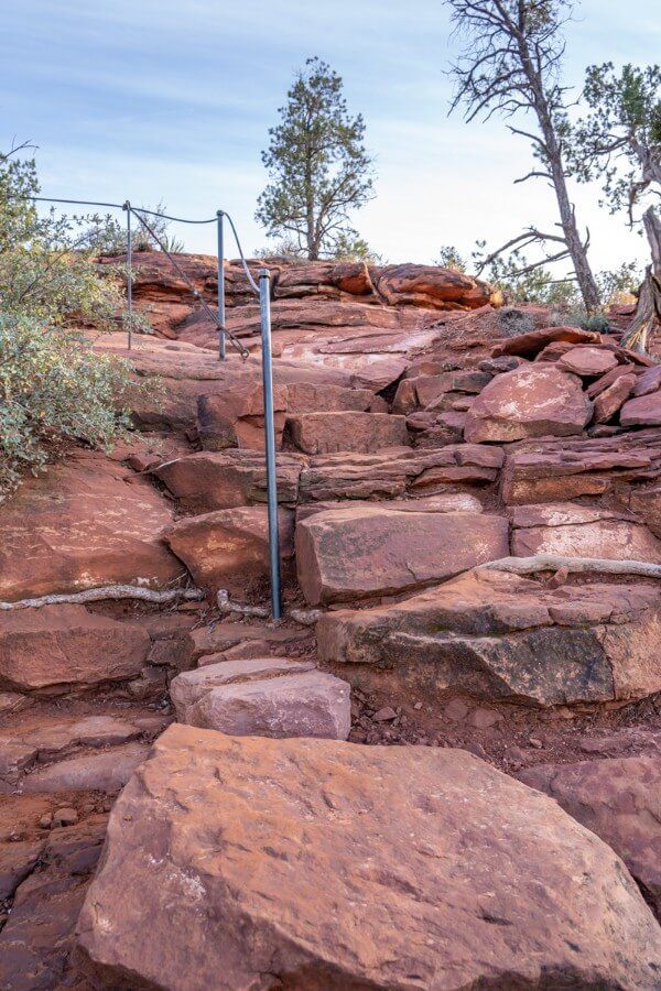
After 0.6 miles we reached a fork in the path. Right would lead us onto Airport Loop Trail, but we stayed left and headed for a small mound. Next, we reached a very obvious route to the vortex site summit area. The path twisted right and climbed up a steep and very uneven set of rocky step, which would become very slippery after rainfall or snow.
4. Photograph Stunning Views
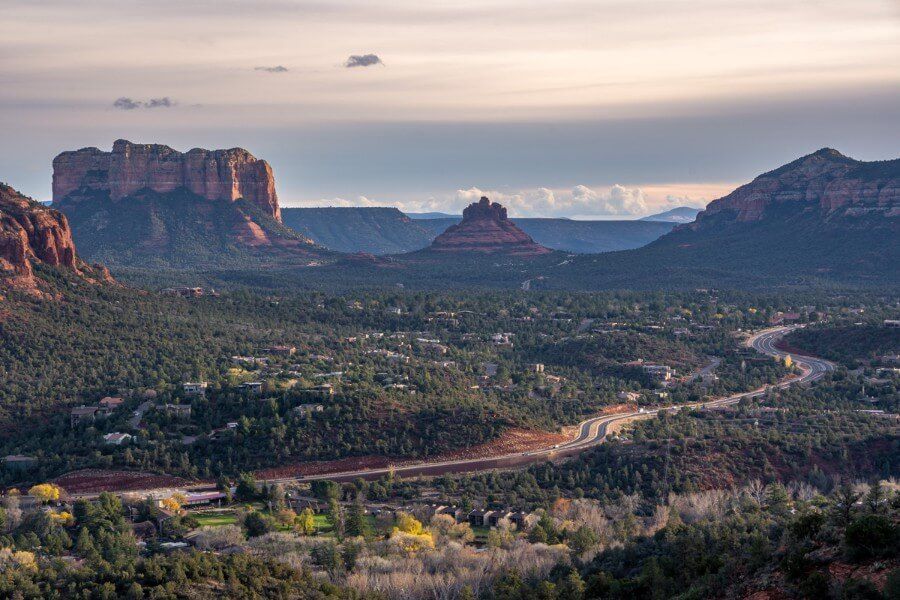
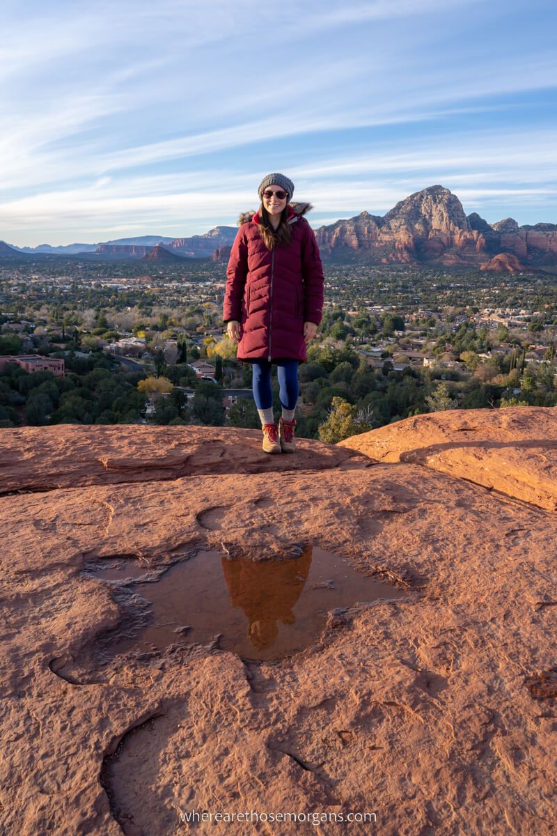
It didn’t take more than a minute to climb the rocks before we summited onto a flat table-like expanse. The southeast facing views over Bell Rock and Courthouse Butte were awesome, and we met lots of friendly photographers here so we stayed a while to compare photo spots in Sedona.
5. Hike Back Up Sedona View Trail
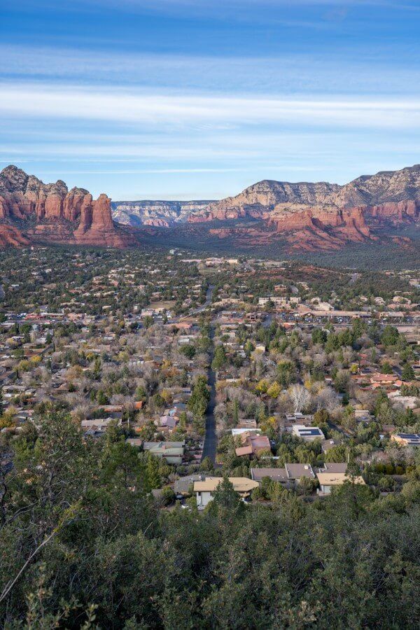
After around 30 minutes of taking photos and enjoying the calming ambience at the vortex site, we hit the path again and hiked back up Sedona View Trail. It was by no means a difficult hike, but it was steep enough to get the lungs and thighs working a bit.
6. Airport Mesa Sunset
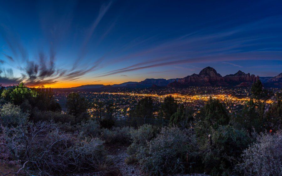
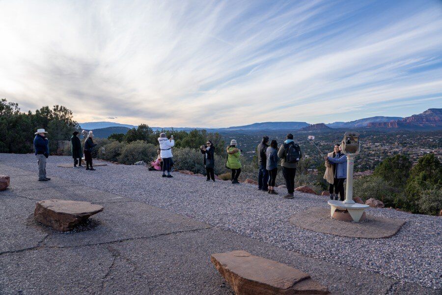
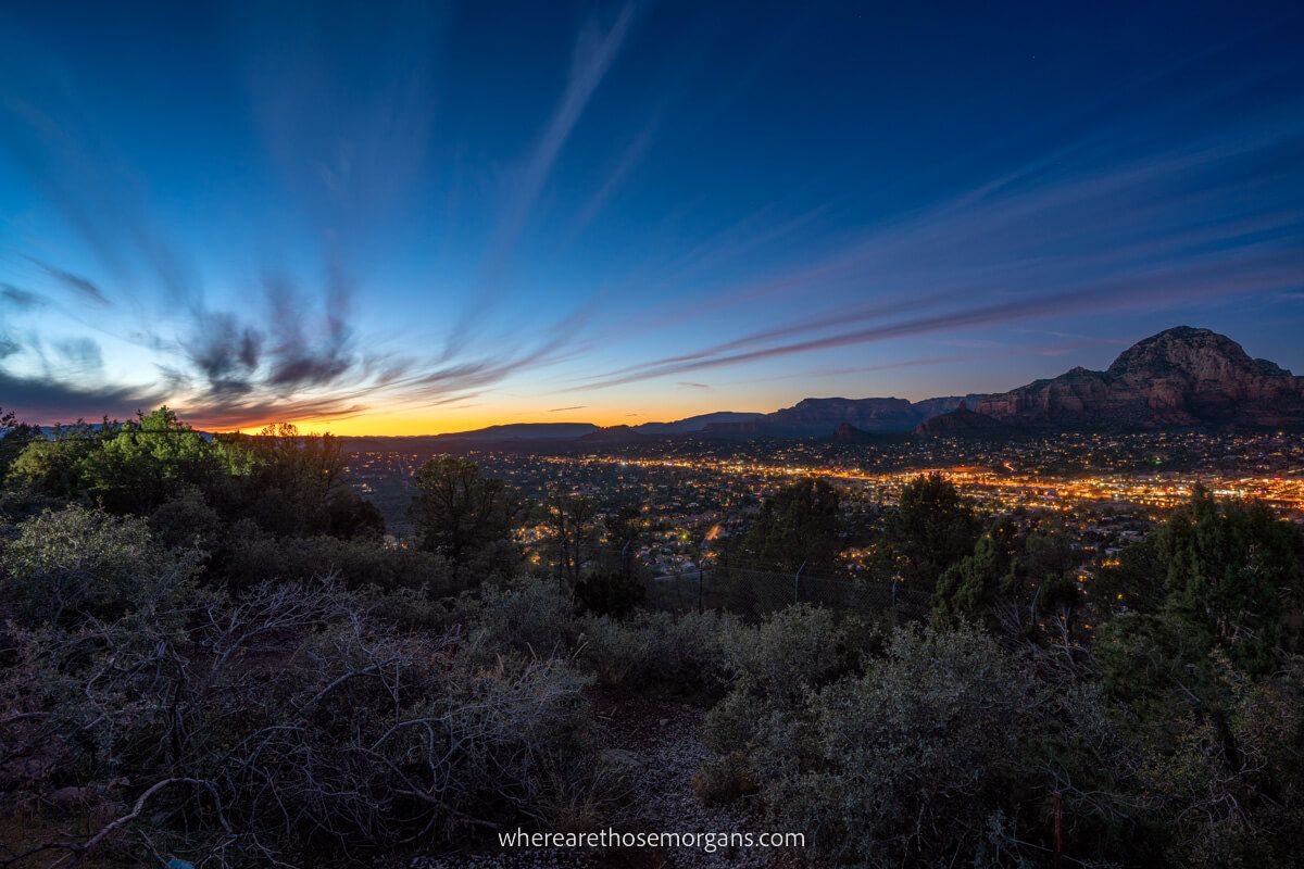
Back at the top we walked over the pedestrian crossing and picked a spot to set up our tripod on the gravel viewing area. It was fairly busy but not as bad as we’d expected (although we did visit Sedona in December so we’re sure it’s much busier in peak seasons). The sunset was stunning, but it got even better 30 minutes later as Sedona lit up and the colors became more vibrant.
Photography Tips
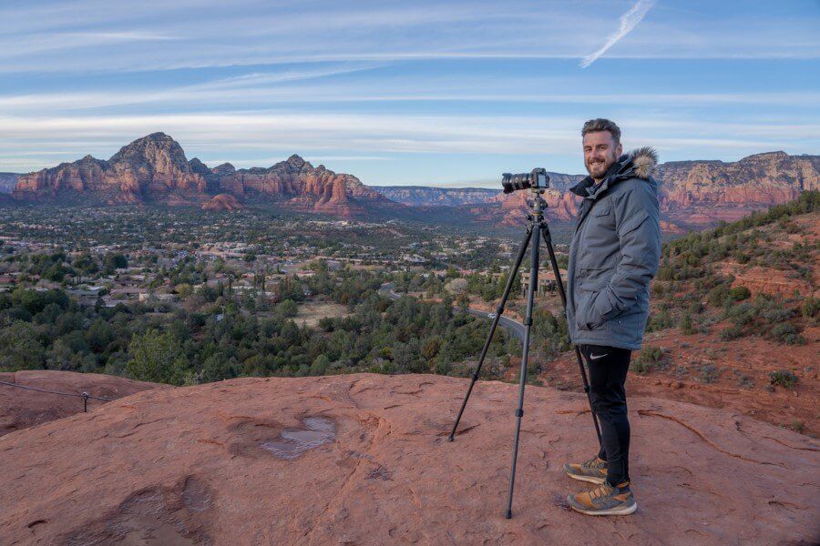
- A tripod will help with keeping your ISO down for low light shots as the sun sets
- There’s more room at the vortex site than you might expect
- Make sure you visit both sides of Sedona View Trail
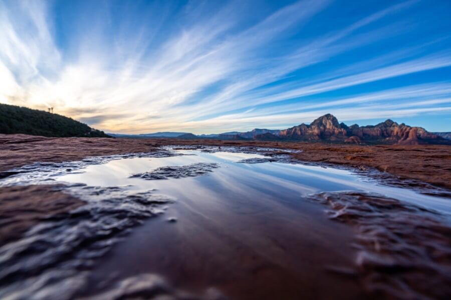
- Look for tiny puddles at the vortex site to use for reflections
- The graveled area at the scenic lookout is small and fills right before sunset, so arrive early to secure the perfect angle before too many tripods are in the same space
- Trees and a metal fence are prominent in your foreground from the scenic lookout as you frame downtown Sedona at sunset, so you might want to shoot at 35mm or above to cut out the fence
Our Sedona Airport Mesa Photos
Here are more of our photos from Airport Mesa:

Pros And Cons
Pros:
- Very short hike connecting two popular vistas
- Excellent views throughout the hike
- Perfect Sedona trail to hike at sunset
Cons:
- Trail is rocky in sections
- Not the most exciting hike in Sedona
- Very busy during peak times
Best Time To Hike Airport Mesa Sedona View Trail
We hiked Sedona View Trail around 2 hours before sunset, which meant we were able to enjoy beautiful views and soft light at both Airport Mesa vortex site and the scenic lookout. It’s the best time of day to hike it for the sunset, but it’s also busy. So if you want to see these viewpoints or hike this trail but without the crowds, you could try sunrise or early morning instead.
Spring and fall are the two busiest seasons in Sedona. Whereas summer is slightly quieter and winter is much quieter. So we recommend you arrive in good time to get a parking spot if you visit Sedona in April, May, June, September or October. Otherwise you should be fine to get parked even if you arrive a few minutes before sunset.
READ: 50 amazing hikes in the US
What To Pack
Footwear: Footwear with good grips and traction are not essential but they would help you get up slick rocks to the vortex site and with sharp rocks on the trail.
Water: If you visit in summer, you need to carry lots of water even on the shortest of trails in Sedona. The good news is you’ll never be too far away from your car on this hike.
Sun protection: Sunglasses, sun hats, long layers and sunscreen are vital if you visit Sedona in warmer months. Both the scenic vista and vortex site are completely exposed.
Winter: Early starts and late finishes are cold in Sedona during winter, trust us on that. Even on sunny mornings or evenings you’ll need coats, gloves and hats.
Camera: Airport Mesa is one Sedona’s best sunset photo spots, so don’t forget your tripod and landscape lenses.
The Morgan Conclusion
What we liked about Sedona View Trail: We were pleasantly surprised at how easy it is to visit Airport Mesa. Parking at the top was easy, the hike down View Trail was short and scenic, the vortex site had great views and then the sunset was amazing. So overall, it’s just a really nice and easy place to visit and enjoy.
What we didn’t like about Sedona View Trail: The trail was a little rockier and steeper than we expected. And paying for parking is never a good thing, but it was only $3 so it’s not too bad. We also thought the sunset view itself would have a clearer foreground, rather than trees and a fence. Otherwise, there’s not much to complain about and we think it’s well worth seeing when you visit Sedona.
More Sedona Hikes
- Cathedral Rock Trail
- Bell Rock Trail
- Sedona Subway Cave Trail
- Birthing Cave Trail
- Devils Bridge Trail
- Soldier Pass Trail
- Doe Mountain Trail
Want more Arizona content? Head over to our Arizona travel guides to explore the best of Grand Canyon, Sedona and beyond.
We hope our Airport Mesa View Trail guide helps with planning your visit to Sedona!
Please let us know if you have any questions in the comments below.
Happy Travels,
Mark and Kristen
Was this post helpful? Pin it for your visit!


Note: This article contains affiliate links. When you make a purchase using one of these affiliate links, we may earn a small commission at no extra cost to you.
All Rights Reserved © Where Are Those Morgans, LLC. Republishing this article and/or any of its contents (text, photography, maps, graphics, etc.) in whole or in part is strictly prohibited.
Mark and Kristen Morgan are travel, hiking and photography experts. Over the last 6 years traveling full time, they have explored more than 40 countries and 30 US states.
Where Are Those Morgans has been featured in USA Today, Gestalten, Get Your Guide, CityPASS and Condé Nast Traveler along with various other publications. Read more about us.


Thank you ever so much! I so appreciate your detailed information. I’ve found the info for Sedona trails very confusing, with different names, different maps, different difficulty levels, and so on. After reading your article, I knew exactly what to expect. Just back from our hike, and it was wonderful.
Hi Emma, we’re so happy to hear you enjoyed the Airport Mesa hike and we appreciate you letting us know our guide helped!