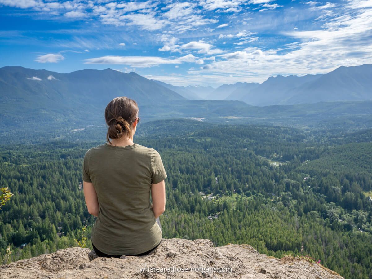
Rattlesnake Ledge Trail is one of our favorite day hikes near Seattle, Washington. It’s a moderately difficult 4-mile roundtrip trail cutting through a picturesque forest that ultimately leads to a rocky summit with awesome far reaching views. It sounds great but trust us, it’s even better in person.
In this guide we explain everything you need to know about hiking Rattlesnake Ledge Trail, based on our experiences. Read more about us.
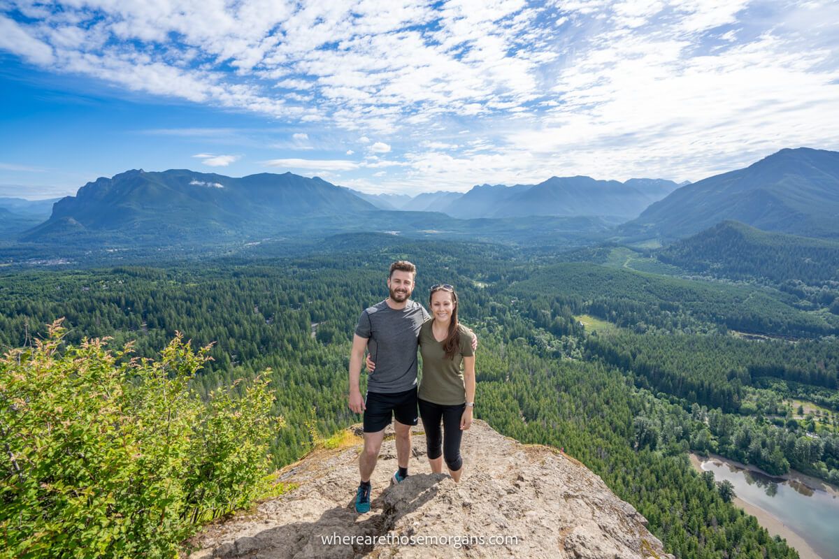
We spent 6 months living near Seattle in the summer of 2021. And in that time, we must have hiked a hundred trails in the national parks and everywhere in between. We spent a few days hiking different trails around North Bend (alongside visiting Snoqualmie Falls) and we’d say Rattlesnake Ledge was probably the busiest trail in the area.
We know hikes like this are a dime a dozen in the Cascade Mountains, but what we liked most about Rattlesnake Ledge was its easy access, ample parking, moss-clad trees and stunning summit views. It had over 1,000 ft elevation gain and a middle distance, so the hike was a good workout but wasn’t too intensive. Okay, let’s begin!
What You Need To Know
Okay, let’s dive right in. Here are the most important things you need to know about hiking Rattlesnake Ledge Trail:
- Most people only hike to Lower Ledge for the popular viewpoint.
- You can continue to Middle and Upper Ledges for a longer hike.
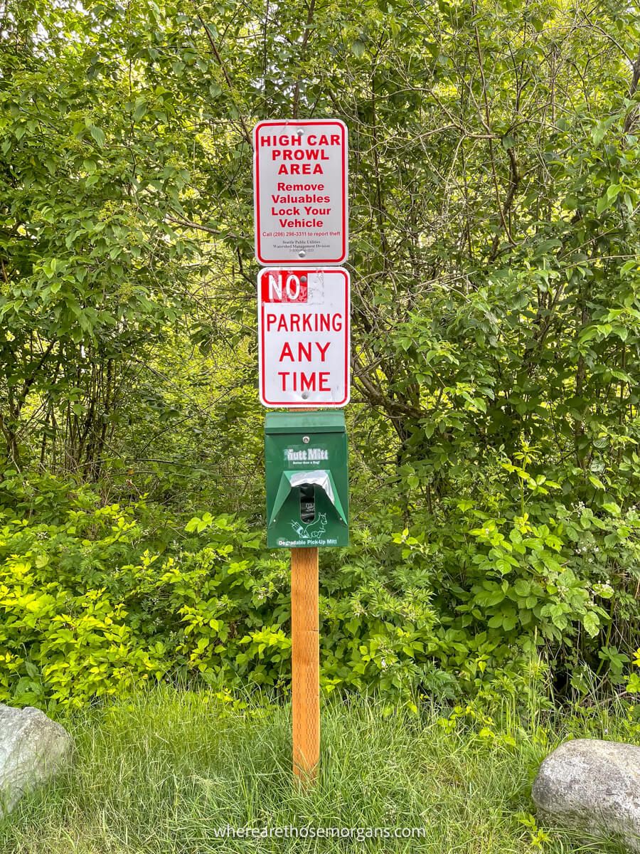
- Parking at the trailhead is difficult on weekends and holidays.
- Remove valuables from your car because break-ins are common.
- Start very early or much later in the afternoon to avoid parking issues.
- No hiking equipment or specialist gear is required.
- The area can be bad for bugs so don’t forget repellant.
- The trail is well marked throughout.
- There are steep and severe drops at the summit.
- Rattlesnake Ledge is a dog friendly trail.
Trail Statistics
- Distance: 4 miles roundtrip (Lower Rattlesnake Ledge only)
- Type: Out and back
- Elevation Gain: 1,150 ft to Lower Rattlesnake Ledge
- Difficulty: Moderate
- Time: 1.5-3 hours
- Trailhead: Cedar Falls Road
Tip: If you continue hiking up to Middle and Upper Ledges, the trail is more like 4.8 miles roundtrip with 1,500 ft elevation gain.
Rattlesnake Ledge Trailhead Parking
Rattlesnake Ledge Trailhead is located 3 miles off I-90 near North Bend in Washington. From Seattle it’s just 35 miles to the parking lot, which should take around 40 minutes following I-90 and Cedar Falls Road.
Distances and average driving times from other nearby cities:
- Bellevue – 29 miles (35 minutes)
- Renton – 33 miles (40 minutes)
- Everett – 56 miles (1 hour)
- Tacoma – 60 miles (1 hour 5 minutes)
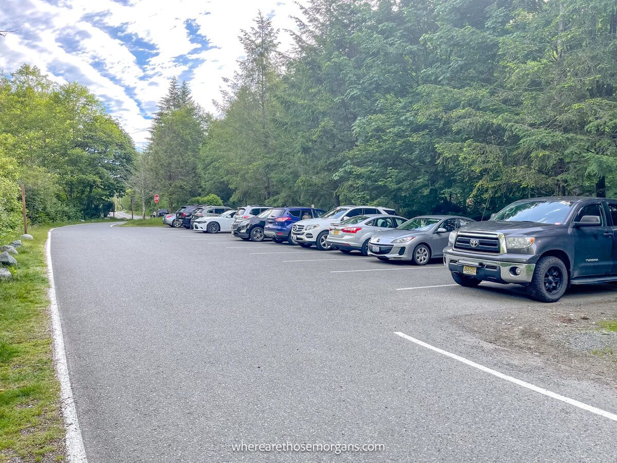
The main trailhead parking lot is in the shape of a 6 with spaces on both sides of the road, but there’s also a small overflow lot further from back the trail. We parked in the overflow lot because cars were circling in the main lot when we arrived. Both parking areas are free and open from dawn to dusk.
If you read recent comments from fellow hikers on All Trails, you’ll notice most mentioning how busy and crowded the trail is by mid-morning. We highly recommend arriving by first light or waiting until much later in the afternoon if you want to avoid the crowds.
Trail Map
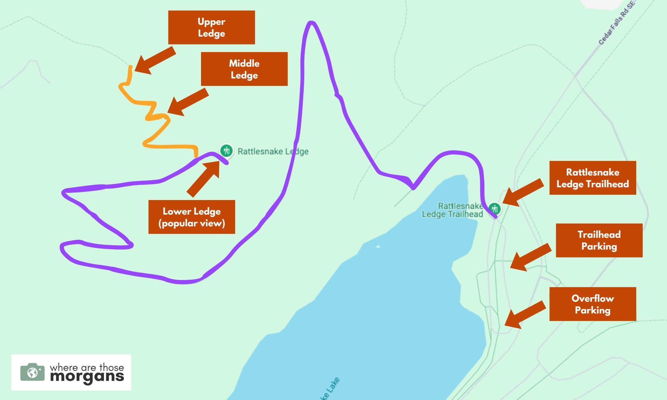
Map key:
- Purple – Hiking route to lower ledge
- Orange – Trail to middle and upper ledges
As you can see in the map we created above, Rattlesnake Ledge Trail is a very straightforward hike. After parking, you’ll track around the lake, cut into the forest and climb to the popular viewpoint at lower ledge. Optionally, you can continue climbing to middle and upper ledge if you want a longer hike.
Trail Walkthrough
Next, let’s walk through the trail exactly as we hiked it so you know what to expect.
1. Get To The Trailhead
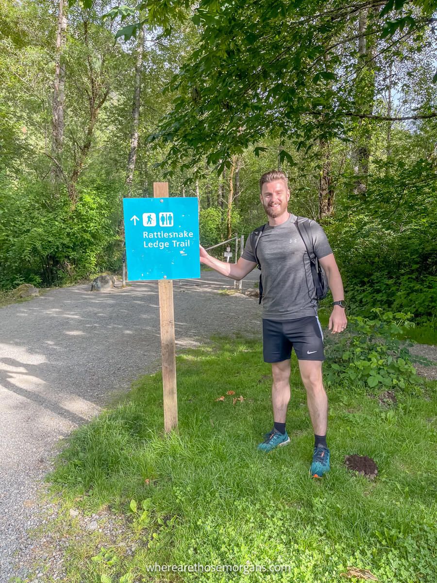
After parking in the overflow lot, we grabbed our gear and walked north to the trailhead. follow signs to the trail. We could see the sheer face of a rocky ledge with drops down to Rattlesnake Lake right from the parking lot, which was pretty cool. Before beginning we used the restroom and quickly read the information board.
2. Circle The Lake
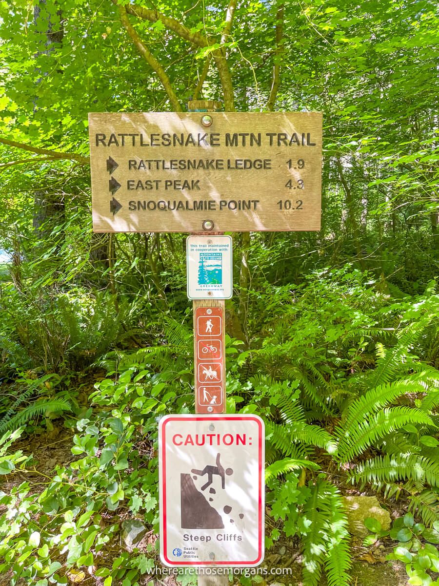
We started out on a wide paved path which circled around the north side of Rattlesnake Lake. This part was accessible for wheelchairs and strollers. A few minutes later we arrived at a kind of second trailhead area with more port-a-potties and trail information boards. This was where the hike turned into the forest and began properly.
3. Forest Trail
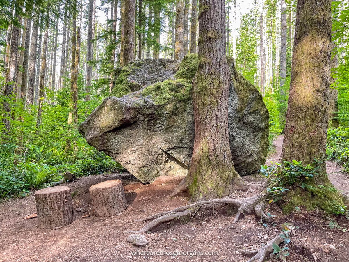
As soon as we passed into the forest, it felt like a classic Cascade Mountains hike with enormous moss covered boulders and tall trees with huge spiraling branches reaching out in all directions. The trail was mostly packed dirt underfoot but there were some rocky parts and exposed tree roots to navigate.
4. Gaining Elevation
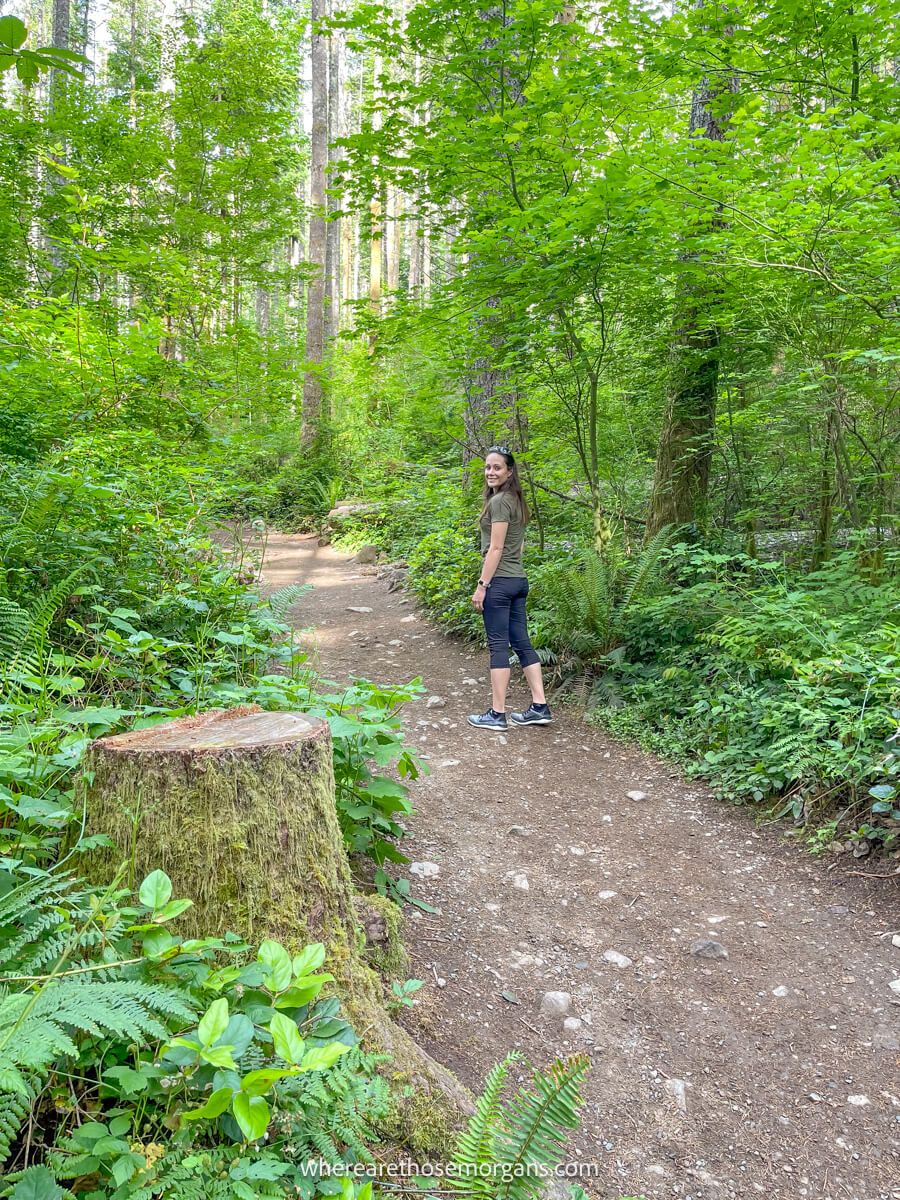
Rattlesnake Ridge Trail to the lower ledge (popular viewpoint) gains around 1,150 ft in 2 miles, which is a fairly significant amount to climb over a short distance. We found the climb to be mostly gradual, but there were a few calf-burners and lung-busters thrown in for good measure. It never pushed us too hard, but we want you to be aware this hike does have a good amount of incline.
5. Rattlesnake Ledge Lower Summit
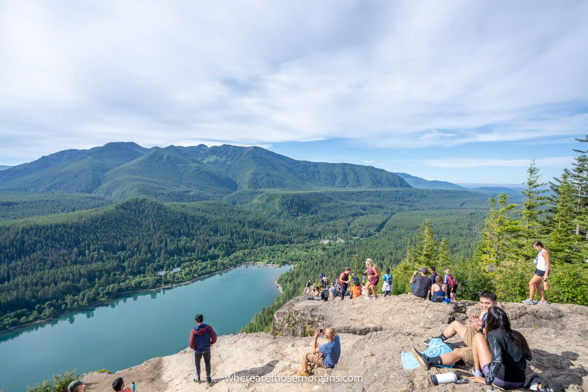
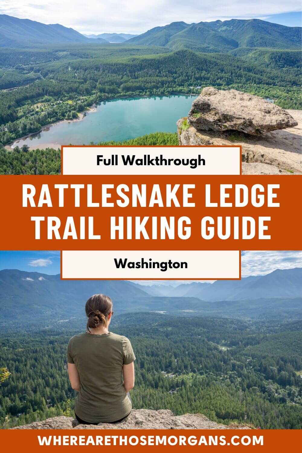
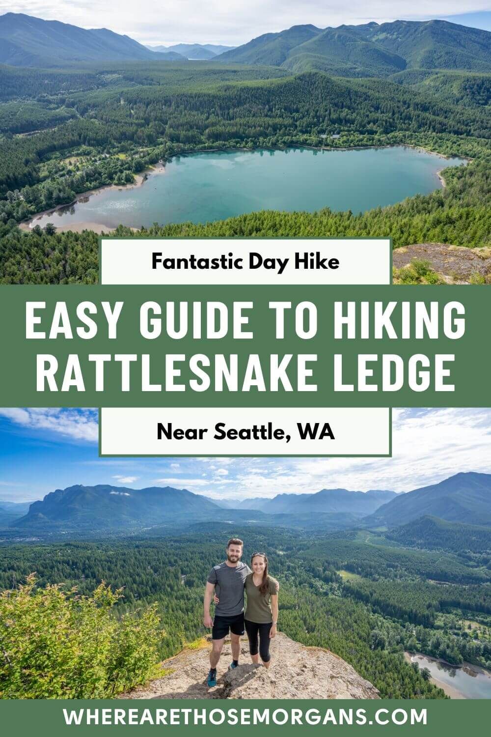
We kept climbing until reaching a fork in the trail and we took the right side which led straight out onto the lower ledge viewpoint. And we were met with a spectacular 180-degree view over Rattlesnake Lake, Mount Si, Little Si, Mount Washington and rolling hills covered in trees as far as the horizon. There were already a few people and dogs at the summit, but we found a nice quiet spot to sit and take it all in.
6. Middle And Upper Ledges
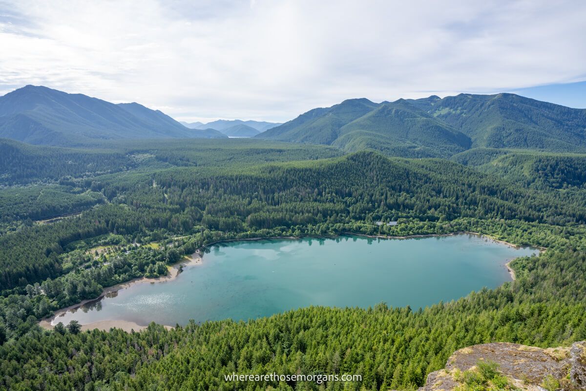
We spent 20 minutes at the summit and saw 60-70 other hikers along with 10 or so dogs. It was definitely one of the more popular small hikes we did in Washington, outside of the national parks. At this point, you can continue climbing 0.2 miles to middle ledge and another 0.2 miles to upper ledge for similar views from higher up. The trail also goes onto East Peak and Snoqualmie Point for an even longer hike.
7. The Descent
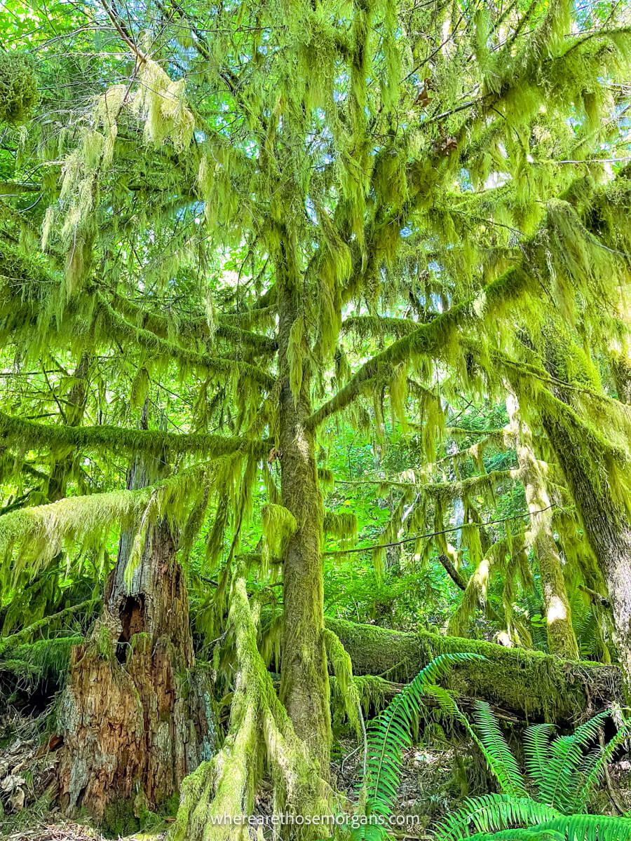
On the way back down we noticed the trail was much busier as the mid morning rush had arrived. We always find it easier to enjoy the finer details on out and back hikes, so we made sure to look more closely at plants, trees and vegetation. It wasn’t a particularly warm day when we hiked to Rattlesnake Ledge, but if it’s a hot day when you hike, don’t forget you can take a dip in the lake before leaving!
Where To Eat And Stay
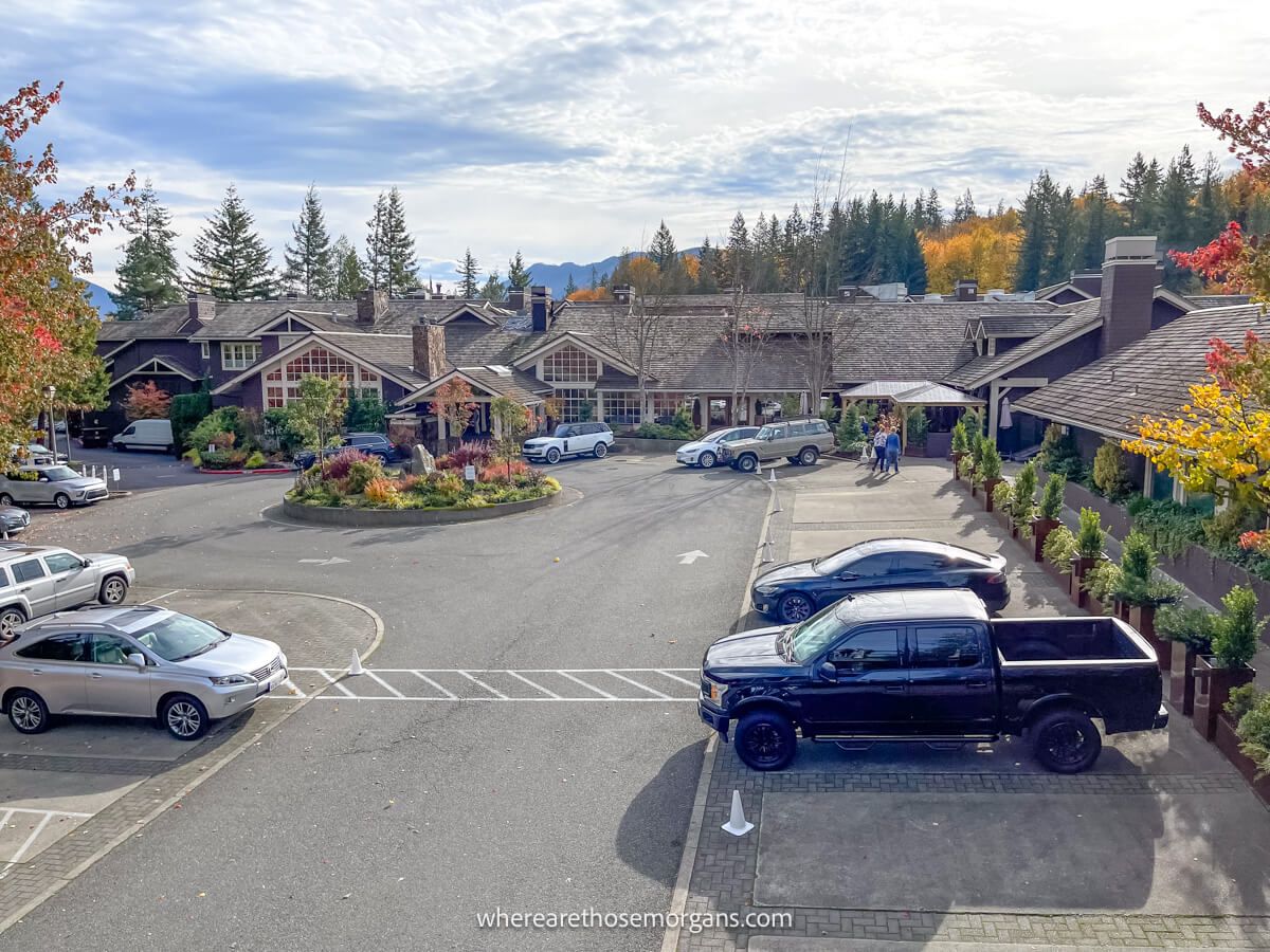
Most people treat Rattlesnake Ledge Trail as a standalone day hike. But if you decide to take on more hikes around North Bend or stay near Snoqualmie Falls, here are the top rated places to eat and stay:
Restaurants:
- Mexican – Rio Bravo
- American – North Bend Bar & Grill
- Italian – Il Paesano
- Sandwiches – North Bend Bakery
- Craft brewery – Volition Brewing Co
Lodging:
- Snoqualmie – Salish Lodge & Spa
- Snoqualmie – Snoqualmie Nest
- North Bend – Moon River Suites
- North Bend – Edgewick Inn
- Snoqualmie Pass – The Summit Inn
The Morgan Conclusion
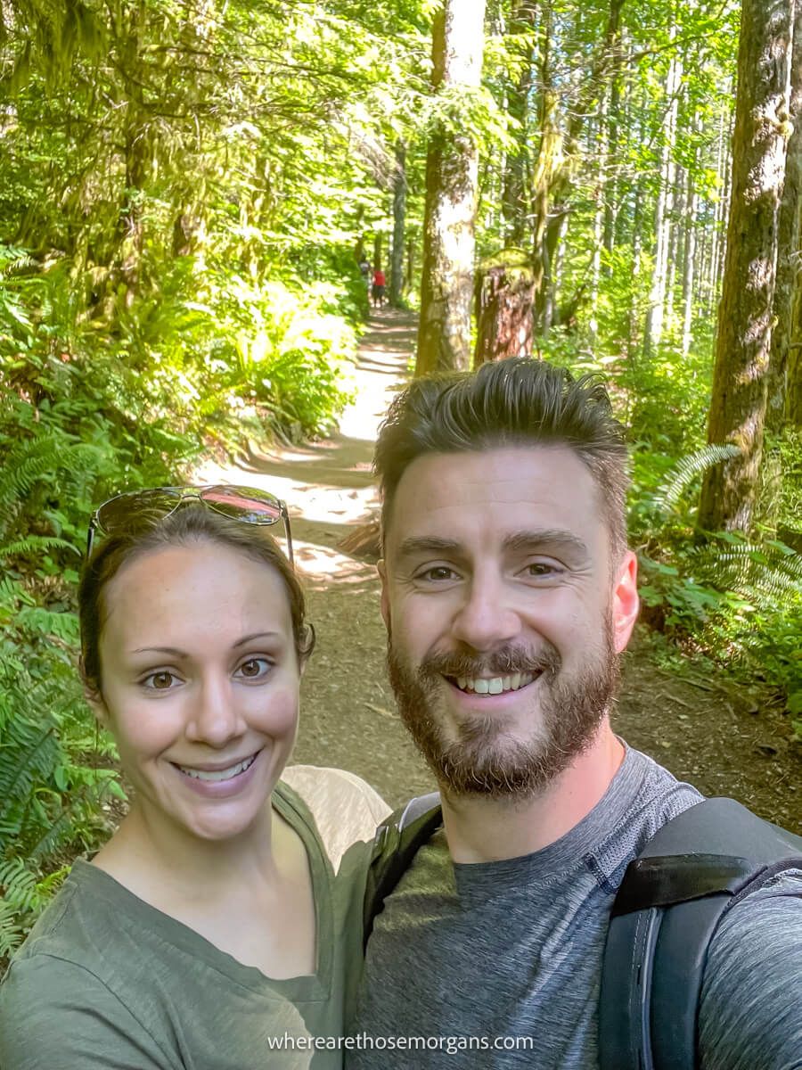
What we like: It’s a fun hike with a nice moderate level of difficulty and distance. The viewpoint has stunning views which more than justifies the effort required to summit. It’s also very easy to access from major urban areas around Seattle. And finally, there’s very little exposure to the sun, wind or rain because it’s mostly inside a forest.
What we don’t like: The trail can become overcrowded, especially on weekends and holidays. As a result, parking can also be a real issue despite the higher volume of spaces available compared to other popular hikes in the region. The only other downside is that the rocky summit is very uneven and has extreme drop-offs, so families with kids need to be extra careful.
Is Rattlesnake Ledge Trail worth it? Yes! Rattlesnake Ledge is a fantastic day hike near Seattle thanks to a picturesque forest trail leading to an elevated viewpoint with far reaching views. The hike is a great middle distance at 4 miles roundtrip and it’s a good challenge without being too hard.
More From Washington
- How to hike Poo Poo Point Trail
- Top hikes in Mount Rainier
- How to hike Lake 22 Trail
- How to hike Mt Pilchuck Trail
- Hiking Wallace Falls State Park Trail
- How to visit Snoqualmie Falls
Want more Washington content? Head to our Washington Travel Guides to explore National Parks, popular day hikes and best things to do around Seattle.
We hope our guide to hiking Rattlesnake Ledge Trail helps with planning your visit to North Bend, Washington!
Please let us know if you have any questions in the comments below.
Happy Travels,
Mark and Kristen
Enjoy this guide? Pin it for later!
All Rights Reserved © Where Are Those Morgans, LLC. Republishing this article and/or any of its contents (text, photography, maps, graphics, etc.) in whole or in part is strictly prohibited.

