The Los Cahorros hiking trail in Monachil near Granada has been one of our favorite to date! Why? Because it truly is an Indiana Jones like adventure.
The Sierra Nevada really delivers on this hike! There are several hanging bridges, swimming spots, narrow caves, amazing view points and tight spaces to squeeze through.
The action packed trail begins and ends about 8km from Granada city center in the lower mountains of the Sierra Nevada in a tiny village called Monachil.
We hiked this trail the day after visiting the Alhambra. It’s easily doable on a day trip. The trail is only about 8 km itself, so it’s a quicker one.
Note: Our content is reader supported and contains affiliate links. If you make a purchase through one of these links, we may earn a small commission at no extra cost to you and it helps us keep this site running.
About Los Cahorros Trail
What makes the Los Cahorros trail unique is that there are two main sections. If you begin on the lower section like we did, the first part brings hikers straight through the gorge and lasts about 2 km.
This is where all the Indiana Jones obstacles can be found.
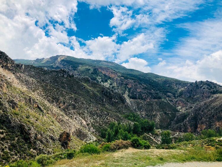
The second part brings hikers to a higher limestone rock trail which overlooks some fabulous Andalusian countryside. The higher trail is about 6km in length.
You might want to consider downloading the Los Cahorros trail to an offline map using one of the best hiking apps like Gaia GPS or All Trails.
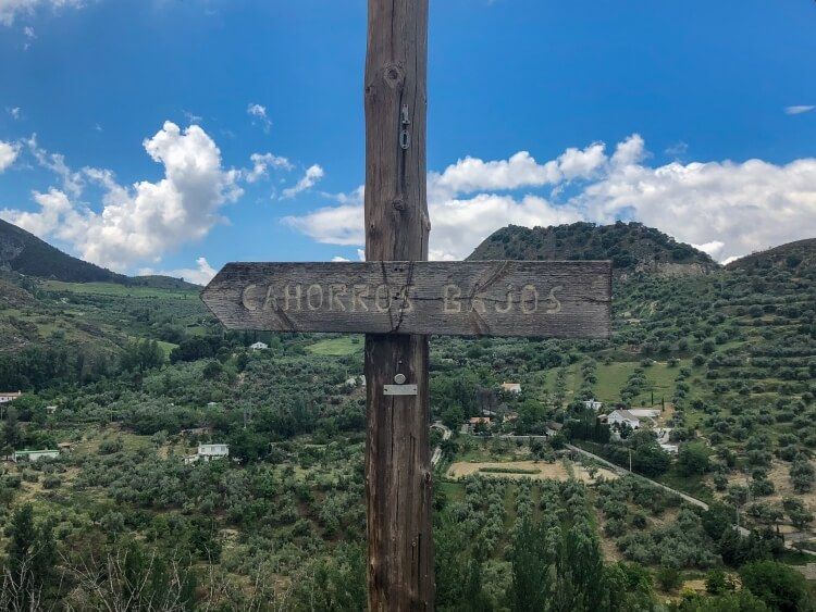
Los Cahorros is a circular trail which means you will finish and start in the same place in Monachil.
However, you can turn around at any time if you choose not to finish the hike. Keep in mind you can also do this in reverse if you would prefer the obstacles at the end.
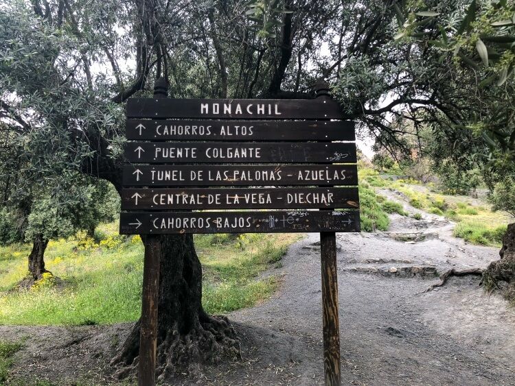
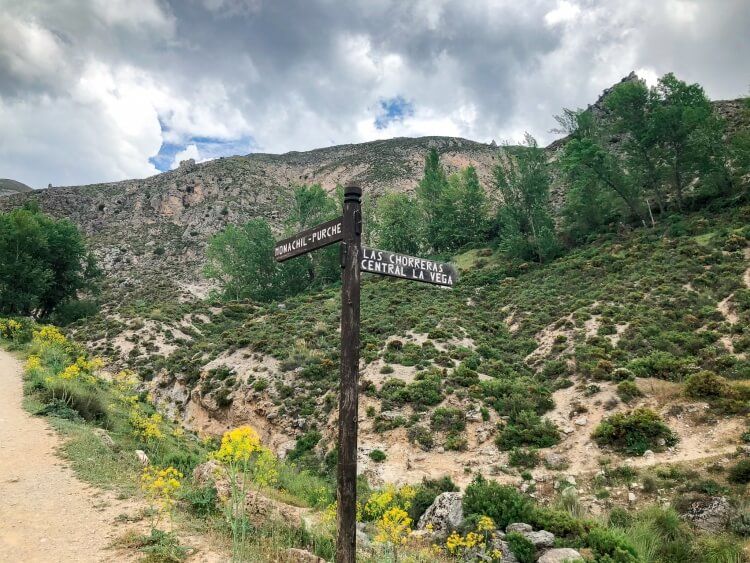
Cahorros Altos refers to the higher section and Cahorros Bajos is the lower gorge section of the hike.
Planning to visit Granada? You might like to read best things to do in Granada next.
How To Get To Los Cahorros Trail In Monachil
To begin the Los Cahorros trail you will need to get to the town of Monachil which lies between the city of Granada and the Sierra Nevada Mountain range.
There are two main places you can begin this hike.
The first is in the village of Monachil (we took the bus and started here). You will walk a bit farther because you will have to walk a bit further to the trailhead.
Or you can park at one of the two restaurants on the outskirts of Monachil
Access Los Cahorros By Car
Take the Monachil exit from the A-395 southern ring road (Ronda Sur). Once you get off the exit for Monachil, continue for 6 km and cross the bridge.
Continue in the direction of the “Los Cahorros El Purche.” The main road leads through the center of town and then upwards towards the mountains.
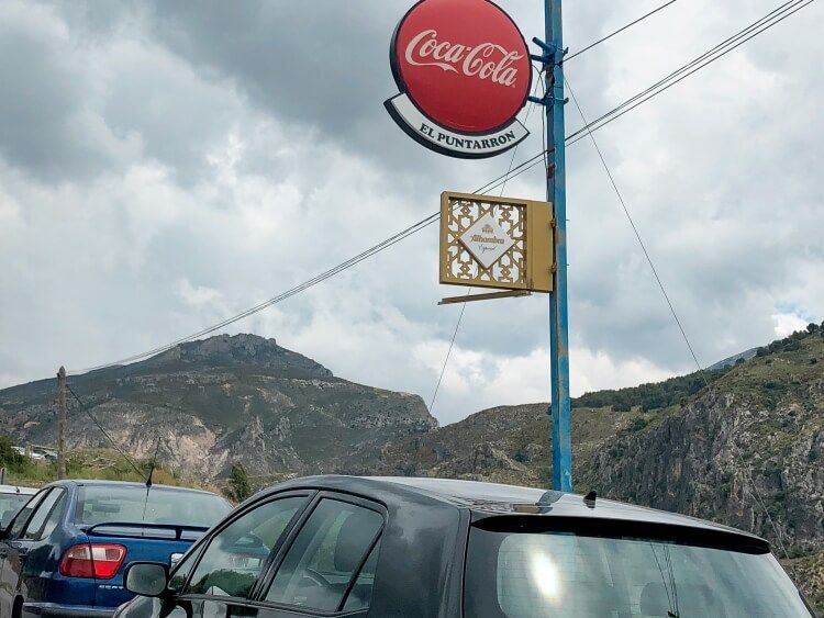
In about 2 km, you will come across a restaurant called El Puntarron that sits off the main road on the right-hand side.
You can either park at this restaurant or if you continue on the dirt road (this is an unnamed road) for about another 1km, there will be another small restaurant.
Look for Merendero Los Cahorros, where you can park. This second restaurant sits close to the entrance of the gorge and is tucked away nicely. We met people who had parked at both locations.
Take The Bus From Granada To Monachil To Hike Los Cahorros
You want to begin by making your way to Plaza Humilladero and cross over the bridge (Puente Blanco) on the left side of the river.
Next, turn left onto Paseo de los Basilios, where you will see two bus stops. You will catch the bus for Monachil at the first bus stop. The ride will cost about €1.50 per person each way.
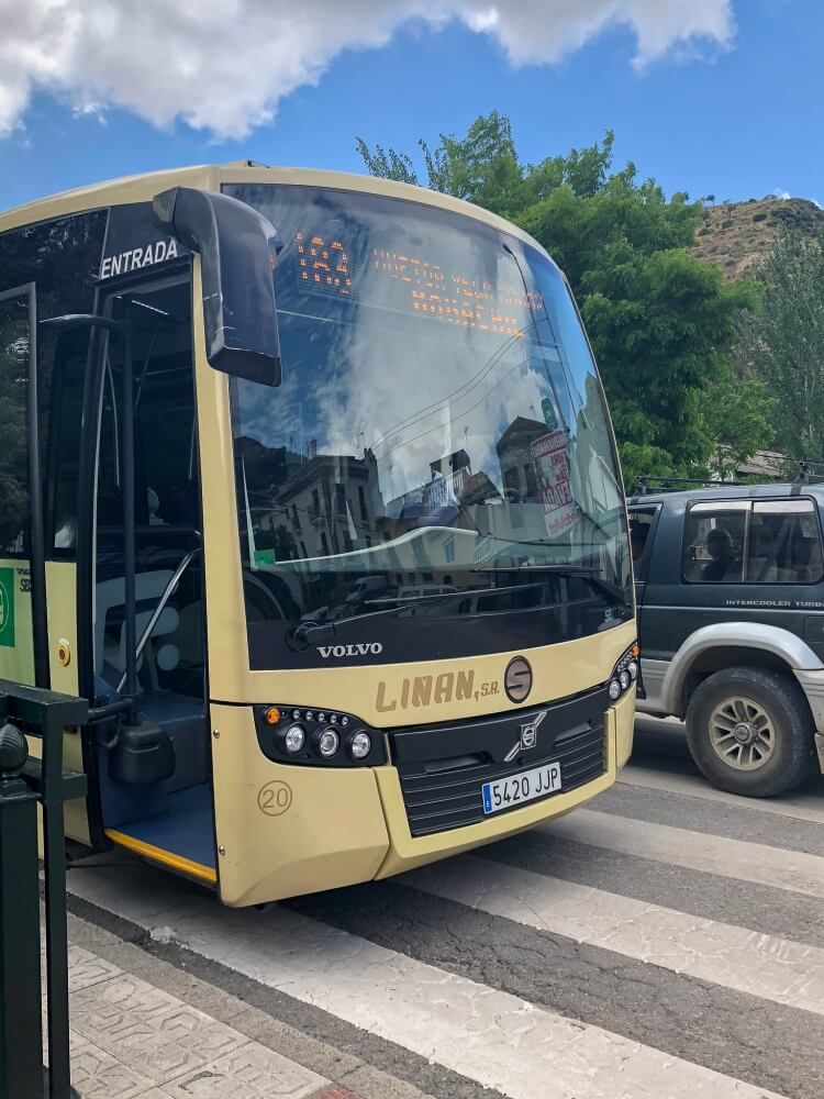
Look for the 183 bus Monday to Saturday morning or number 181 Saturday afternoon, Sundays and holidays.
The 183 bus is about 20 minutes while the 181 bus service is a bit longer, maybe about 40 minutes.
The bus leaves from Granada to Monachil at 20 minutes past the hour. While the bus returns from Monachil to Granada at 40 minutes past the hour. Keep in mind 8:40pm is the last bus.
Travel Tip: Our bus back was not on time so don’t panic because the bus may be late!
Our Adventure: Getting To The Trail By Bus
The bus will drop you off at a bridge, right next to loads of bins in the center of Monachil. Keep in mind this will also be the same place you will come back to in order to catch the bus back to Granada.
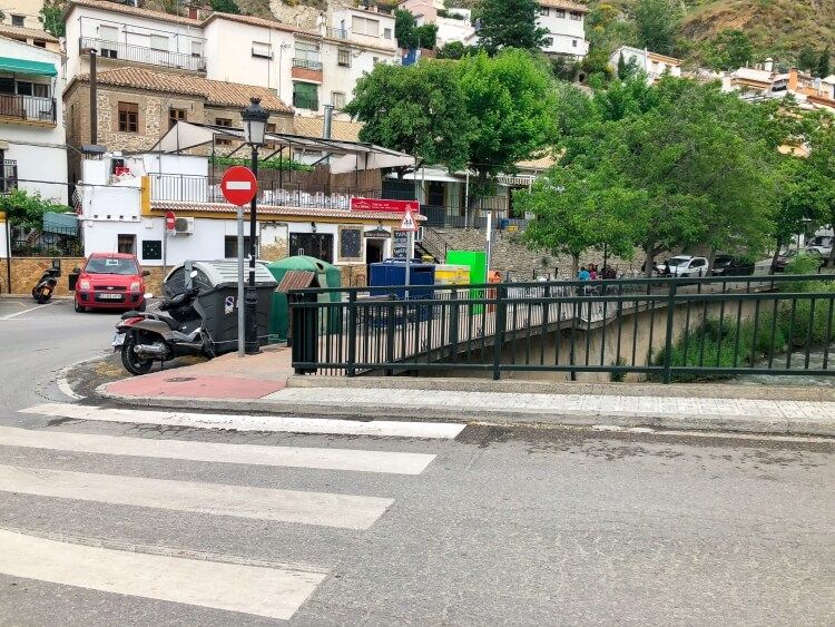
Walk towards the mountains with the river on your right. The town of Monachil is quite small so it’s relatively easy to orient yourself.
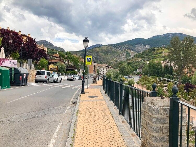
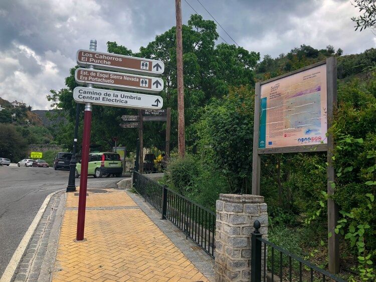
Keep an eye out for the “Los Cahorros” sign to know you are headed in the right direction.
This is the part of the trail we almost missed… The road will hairpin sharply and you will come to a stop sign. Just before the stop sign, there is a concrete road.
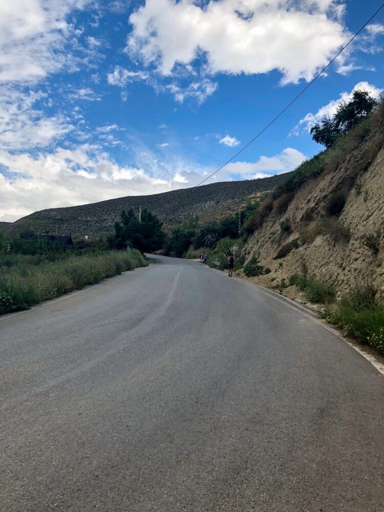
Take the smaller dirt path on the right.
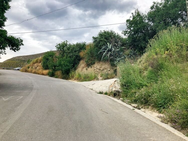
Next, after passing a few houses, you will need to take another right on a small dirt road (the unnamed road).
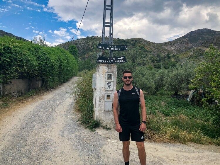
Finally, you will come to the small second restaurant where the trail begins. Happy trekking in the Sierra Nevada!
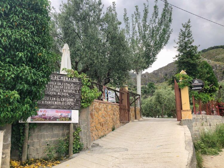
New to hiking? Don’t miss our hiking tips for beginner guide.
A Few Tips For Hiking Los Cahorros Monachil
If you are planning to tackle this hike, here are a few things to consider:
1. The Famous Hanging Bridges
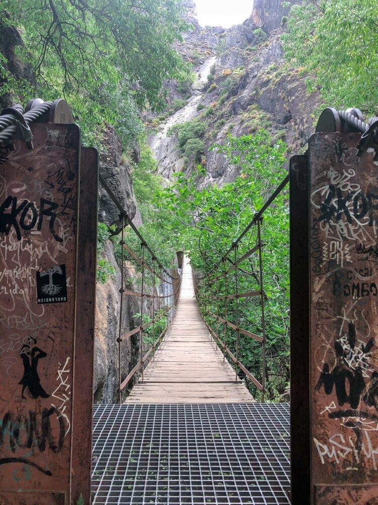
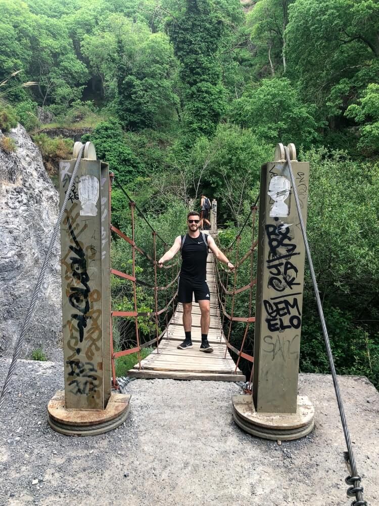
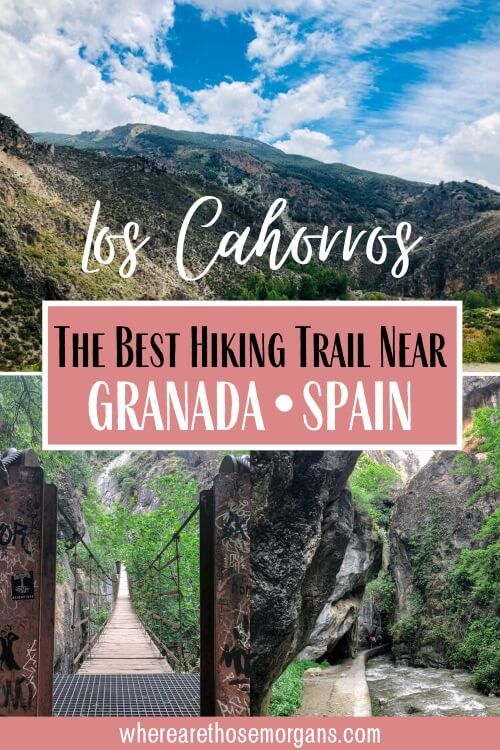
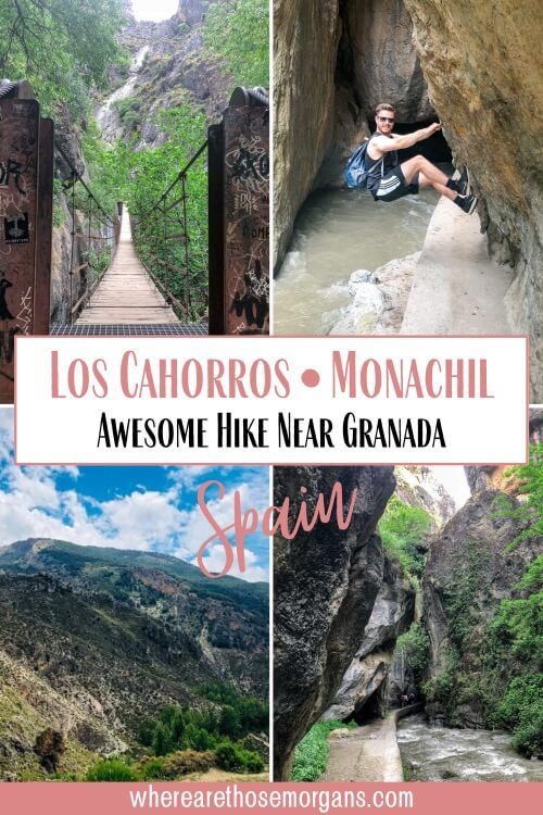
The hanging bridges were a highlight of our hike. There are a total of four to cross. The longest bridge is 55m long and probably 15m above the river, not the best if heights isn’t your thing.
We recommend going one at a time when crossing the long bridge. But good news, the remaining three are much shorter. The bridges will sway once you begin your walk but they did seem very secure.
2. The Handles
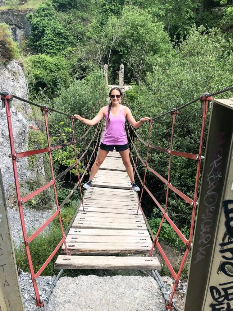
We had a lot of fun on this trail because there are metal handles and knobs set into some of the rocks over hanging the river.
During your hike, you can use these handles to help you stay on the trail.
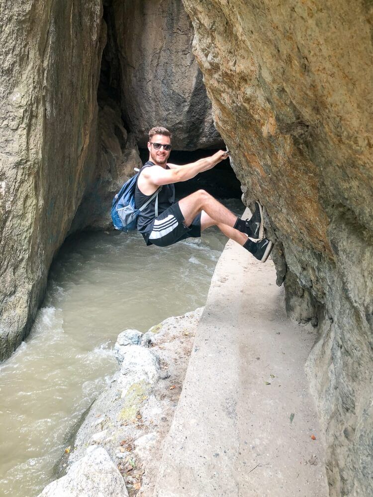
Originally, we read this trail was child friendly. But after walking it, we would strongly disagree. We ran into a couple with three young girls who felt the same way. Be aware to keep an eye on the little ones closely if you bring them along.
Be aware to keep an eye on the little ones closely if you bring them along.
3. Tight Sections
There will be some parts on the path where you will need squeeze in some small spaces. If you can not do this, we would not recommend the trail.
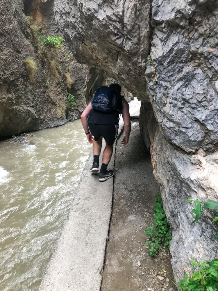
There will also be a section of the trail which seems to be a dead end. We almost turned around at this point because we thought it ended.
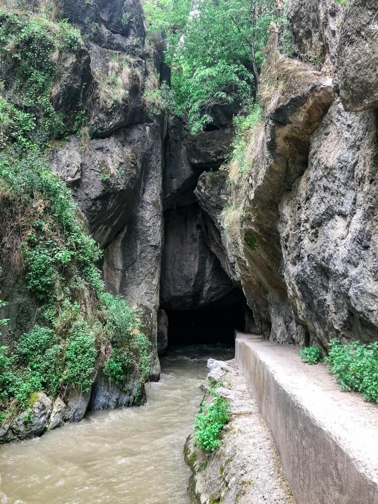
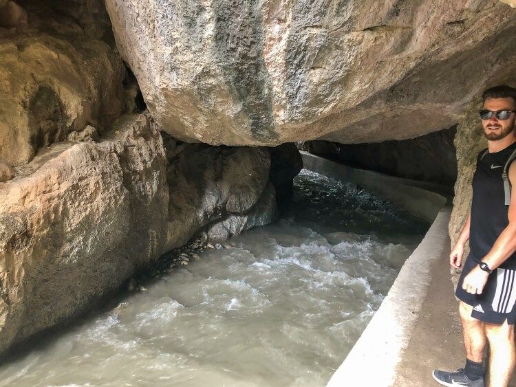
But you just need to crawl under the rocks overhanging the trail.
The higher section of the hike is a bit confusing at the end. If you stay on the main section of the trail, you will make it back down to the restaurant El Puntarron.
The trail pretty much veers left and continues down the hill. There will be some small signs and roads but just stay on the main path.
If a sign says “Camino particular sin salida” this means “Private road with no exit” so ignore it and continue on.

4. The Water Features
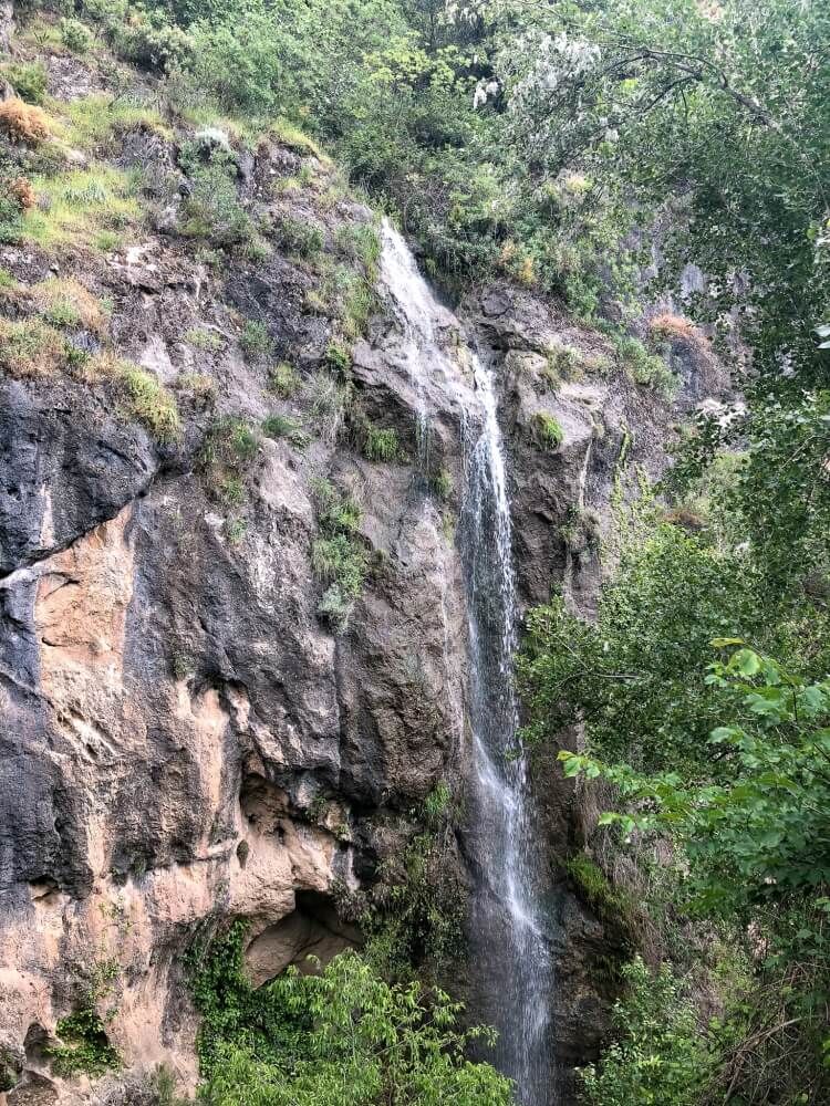
There are some really great waterfalls in the beginning of this hike. Bring a suit if you feel like taking a dip. We did this hike in June and it was hot! The waterfall was just what the doctor ordered.
We found it interesting that the path follows an old irrigation channel. At some points, the water was just gushing in the old metal system.
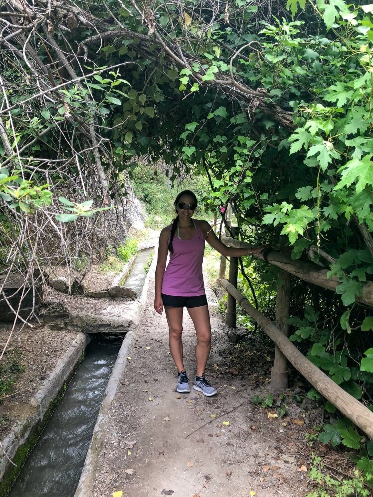
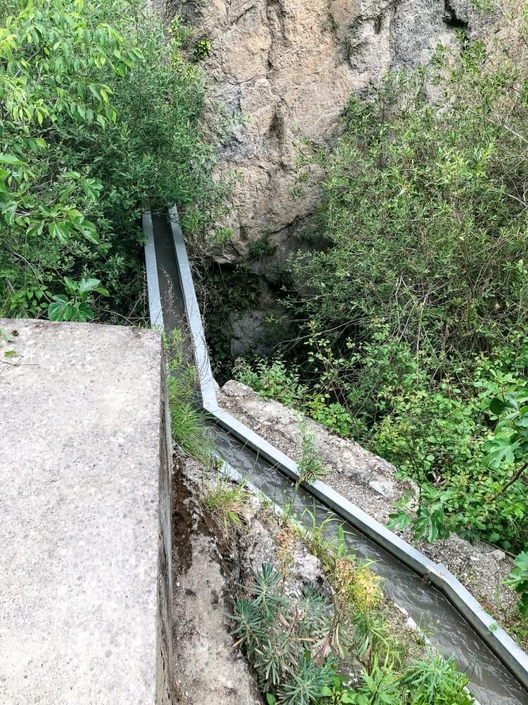
The babbling river is extremely soothing. We loved hearing the water rush by us as we navigated all the obstacles.
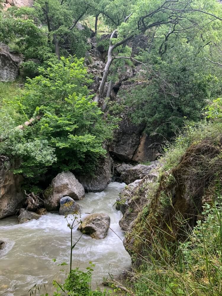
5. The Scenery
Walking through the gorge was another favorite memory. We couldn’t help but constantly look up and notice the looming rocks above. The trail was always tucked in close to the rocks and felt extremely cozy.
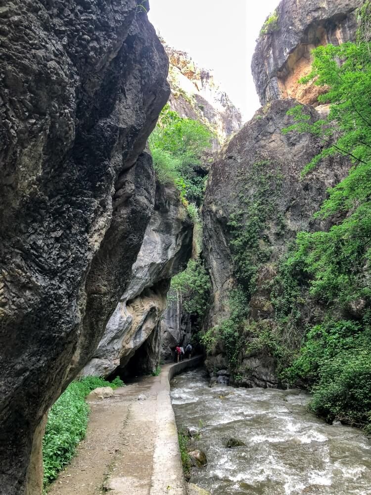
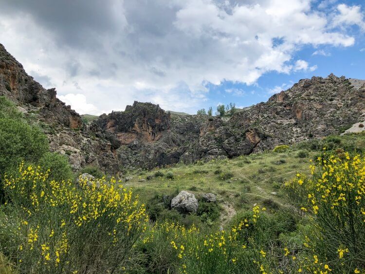
And the yellow flowers in bloom during our hike on the higher section. The bright yellow color mixed with the blues of the sky and the greens of the land were just breathtaking!
6. A Hidden Surprise
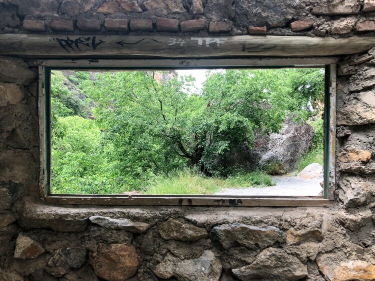
Last but not least, we found an abandoned structure where you can explore. There were old walls and windows to peak out of. See if you can find this along the trail.
If you’s like to know more information about this trail, check out the Sierra Nevada website.
More From Spain
- 7 cool things to do in Granada Spain
- Madrid to Toledo day trip guide
- How to spend the weekend in Barcelona
- Complete guide to a Segovia day trip
- How to spend One Day in Cordoba, Spain
- 6 fun things to do in Ronda, Spain
Want more Spain content? Head to our Spain Travel Guides to explore more popular tourist destinations around Andalusia.
We hope this hiking guide helps you plan your hike to Los Cahorros in Monachil!
Please let us know if you need any questions in the comments below.
Happy Travels,
Mark and Kristen
Enjoy this guide? Pin it for later!
All Rights Reserved © Where Are Those Morgans, LLC. Republishing this article and/or any of its contents (text, photography, maps, graphics, etc.) in whole or in part is strictly prohibited.

Excellent detail on how to find this trail! I’m always on the hunt for great hikes while traveling; always comparing to my favorite thus far – The Hardergrat in Switzerland. My husband and I will be trying this hike in December! Thank you for sharing.
Thank you Erin, we really enjoyed this trail and we’re sure you both will in December … but Hardergrat is very hard to beat!