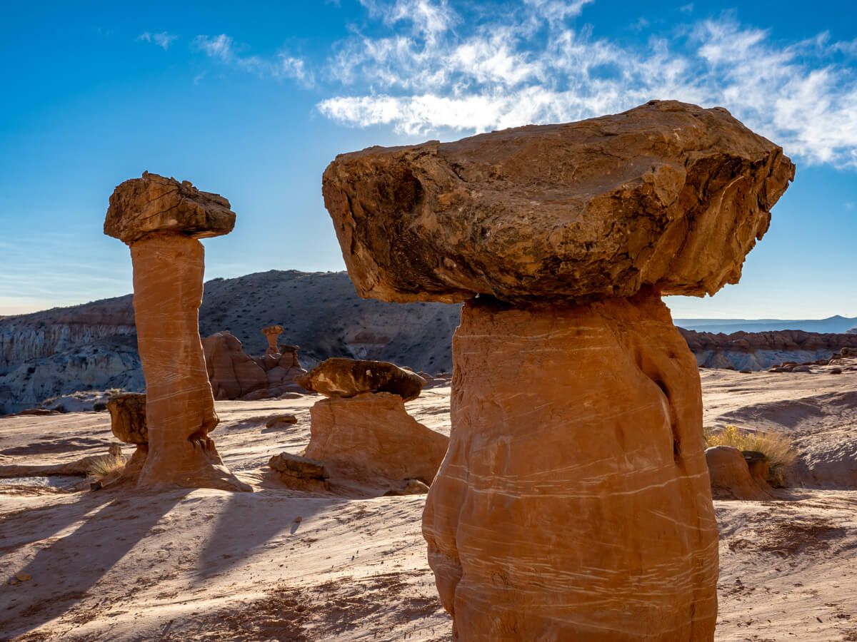
Toadstool Hoodoos Trail is a short, fun and family friendly hike located half way between Kanab, Utah and Page, Arizona. We set off from the trailhead around 2 hours before sunset and only just made it back before it got dark. The hike was well worth it to see unique mushroom shaped rock formations scattered around a striking landscape at the end.
In this guide we show you exactly how to hike Toadstool Hoodoos Trail in southern Utah, based on our experience. Read more about us.
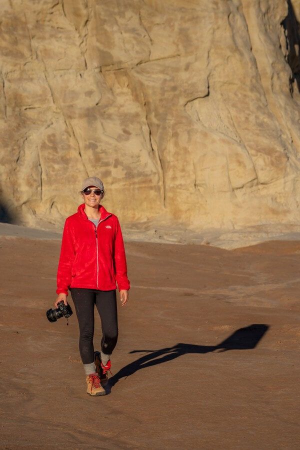
We’d already spent 3 days exploring the top natural attractions around Kanab, and after hiking into the lower portion of Buckskin Gulch on our last morning, we decided to stop off to hike Toadstool Hoodoos before arriving in Page. It was a bit of a rush because we arrived late in the afternoon and it was December so daylight hours were shorter, but overall we thought it was a fantastic hike and we highly recommend you add it to your itinerary.
The trail itself was easy going, with very little elevation gain. And the bowl-shaped landscape filled with strange mushroom-shaped rocks was far more photogenic than we’d expected. It’s not exactly a secret, but we think Toadstool Hoodoos could be classed as a bit of a hidden gem. We saw very few others on the trail and at the end, which made the experience even better. Okay, let’s begin!
Note: Our content is reader supported and contains affiliate links. If you make a purchase through one of these links, we may earn a small commission at no extra cost to you and it helps us keep this site running.
Hiking Statistics
- Distance: 1.6 miles roundtrip
- Elevation Gain: 141 feet (4450-4590 ft)
- Difficulty: Easy
- Time: 1-1.5 hours
- Dogs: Allowed, on leash
- Best Season: Spring, fall, winter
- Recent Comments: AllTrails
Toadstool Hoodoos is a very easy hike. It’s less than a mile each way and it has barely any elevation gain or loss. With that said, the hike is mostly on a sandy, rocky and clay-like surface. It’s uneven throughout, and it follows a dry river bed which twists and turns through contours in the topography.
We recommend wearing robust shoes with good treads, especially if it’s been raining because the ground will turn soft and sludgy. What we like about this trail is that the more adventurous or energetic can weave across rocky mounds and make the hike a bit more exciting, while others stick to the easy and flat dry river bed.
Toadstool Hoodoos Trailhead Parking
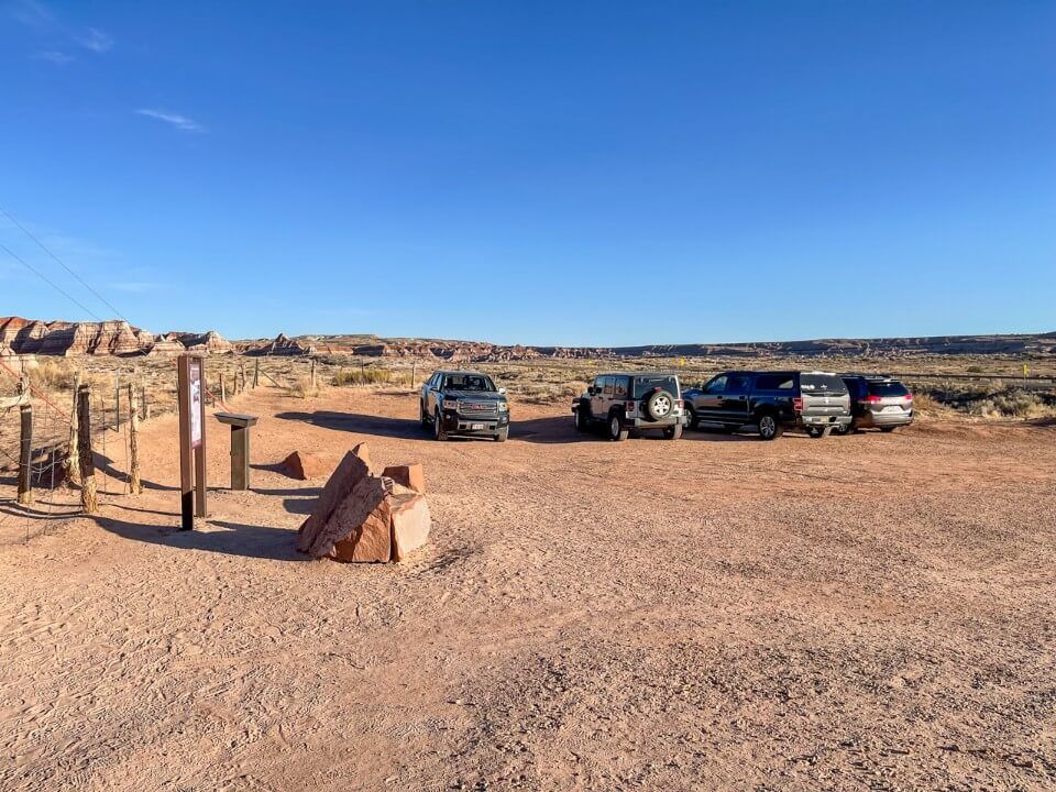
Toadstool Hoodoos Trailhead is located within Grand Staircase-Escalante National Monument, 45 miles east of Kanab and 29 miles west of Page. The trailhead has a small sand and dirt parking area that can fit around 25 cars in a horseshoe-shape. To reach it you’ll turn off highway 89 and drive maybe 50 feet. It’s nice and easy, and you don’t need a 4WD vehicle.
Input Toadstool Hoodoos Trailhead into your GPS or here’s the exact location on Google Maps. If you don’t follow a navigation app, it’s hard to know when to turn because it isn’t signposted until you actually reach the trailhead. We’d like to see signs put up to the east and west so drivers have a better idea about when the turn is coming.
Walkthrough: Our Toadstool Hoodoos Hike
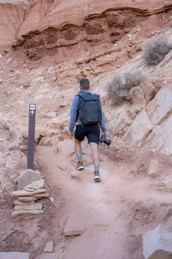
After parking and quickly reading the trailhead information board, we walked through a cattle gate and began hiking along a dirt path. Right from the get go, we were able to forge our own route along the rocky surface heading in a northeast direction and loosely following electricity pylons.
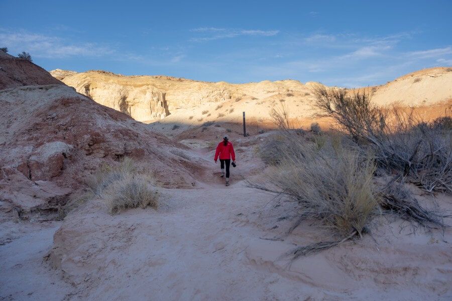
Within a matter of minutes we spotted the sand-filled dry river bed and settled into a steady pace. To save constantly slaloming, we chose to hike a bit more as the crow flies by dipping in and out of the flat river bed. That added in more elevation gain and a bit more difficulty, but you can stay inside the river bed to keep it easier.
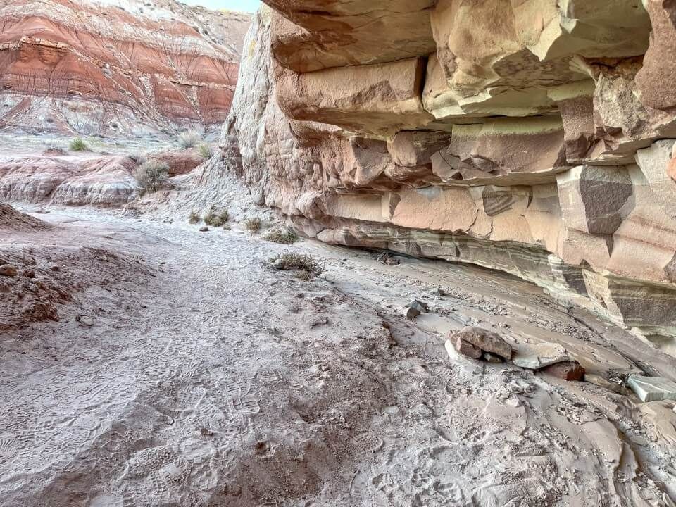
The beaten path became more apparent as it narrowed through a canyon with tall cliff walls to either side. We found this part of the hike to be the most enjoyable and fun. And about half a mile into the trail, we saw our first toadstool hoodoo on the left. It stood alone on top of a cliff and it was vibrant in color, so it was hard to miss.
After a little more slaloming and snaking along the river bed, we saw a towering white rock wall in the distance. That turned out to be the backdrop to the plateau at the end of the hike, which is where the highest concentration of hoodoos were found. We continued to follow the river bed and took a narrow but very obvious sandy path leading to the northwest and an area of dark red dome-shaped rocks.
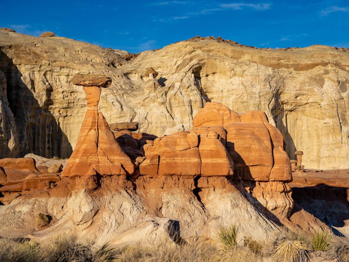
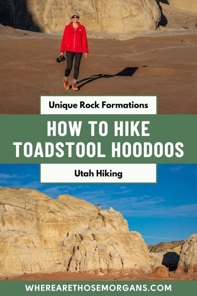
Immediately after arriving at the end of the trail we were glad we stopped for this hike. We thought Toadstool Hoodoos had some similarities to Bryce Canyon and Goblin Valley, but in its own unique way. The intense contrasting between white and red colors was stunning. Then we started to notice the various mushroom-shaped rocks standing alone throughout the plateau, which certainly made you think about how they survived eroding like the rest of the area.
We spent around 45 minutes walking around the entire half-moon shaped end of trail area, taking photos of the Toadstool Hoodoos and enjoying the solitude. There must have only been around 5 or 6 others at the end. The sun was getting low in the sky so the light was soft and long shadows were being cast from the intriguing rock formations.
What Are Toadstool Hoodoos?
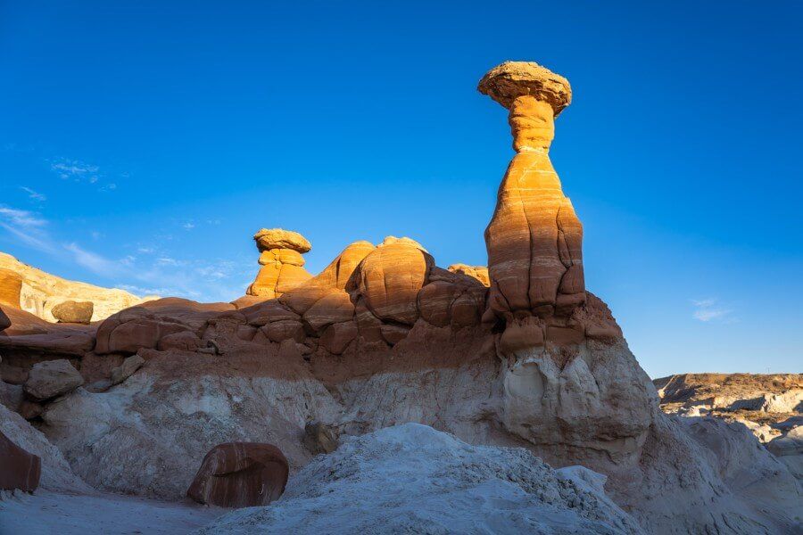
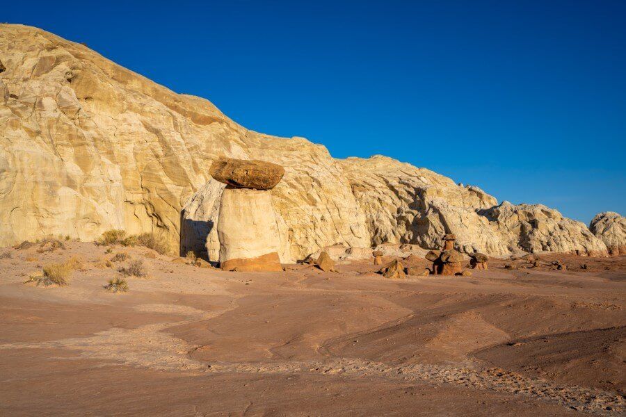
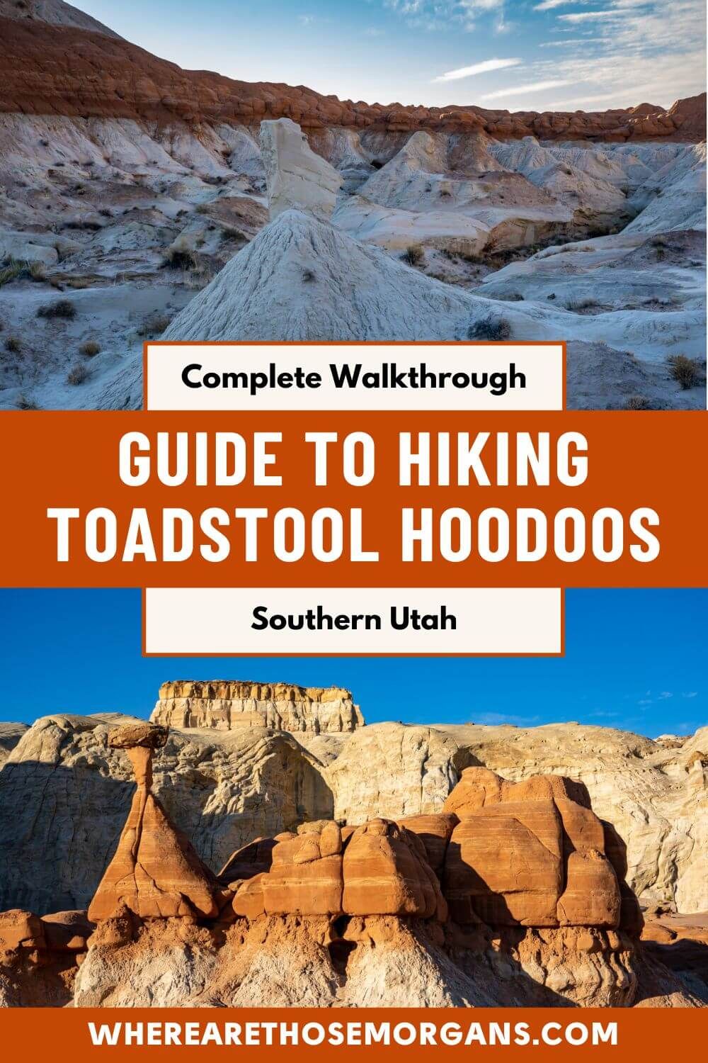
When you reach the end of the hike you’ll be surrounded by random and sporadic Toadstool Hoodoos. But what exactly are they? Well, it’s in the name really. A toadstool hoodoo is a natural rock formation consisting of a large boulder perched on top of another rock with a smaller diameter. From a distance, the hoodoos appear to look like mushrooms, which is where the name toadstool originated.
If you’ve been to Bryce Canyon or Cedar Breaks, you’ll have seen spire-like rocks projecting out from an amphitheater, and they’re also known as hoodoos. They look a bit like chimneys that get thinner and thinner near the top. Now, the rock formations here on Toadstool Hoodoos Trail are unique because they’re like narrowing chimneys, but then there’s a much larger boulder balancing on top.
How Did They Form?
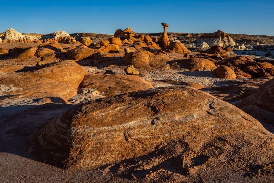
Due to its elevation at 4,500 ft, this area frequently experiences above and below freezing temperatures in winter, so ice, rain, wind and snow has sculpted these intriguing rock formations over millions of years. In above freezing temperatures, water from rain and snow seeps into the cracks of rock formations. Then when the water freezes at night due to the plummeting temperatures, it expands inside the rock as ice. The expansion of ice causes the rock to break apart, which is a process known as ice wedging.
The hoodoos form when upper rock layers are more durable than softer layers underneath. In the case of the toadstool hoodoos in southern Utah, lower layer sandstone erodes much faster, which leaves the mushroom shaped top.
What Else Is There To See?
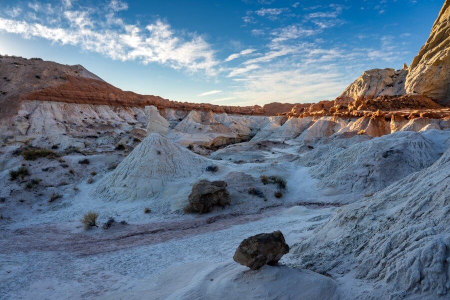
At the end of the trail you can explore several different clusters of toadstool hoodoos, but there’s also a few more things to look out for. First is a fascinating basin filled with brilliant white domes made up of sandstone and clay. They’re very photogenic so don’t miss them. It was so late in the afternoon when we arrived that this whole area was covered in a blanket of shadow but it was still picturesque.
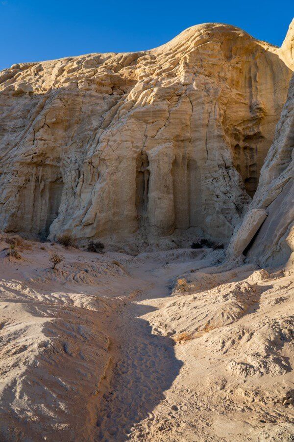
Second are the towering cliffs at the back of the plateau. If you look closely, you can see erosion has formed irregular concave shaped depressions within the cliffs, a little like melted candle wax falling under gravity and then solidifying. Some of this area was also in shadow when we arrived but other parts of the cliff walls were glowing a beautifully deep yellow color under the soft light.
Tips + Things To Know
Toadstool Hoodoos is a short and easy trail, but we still want to share a few tips for your visit:
- Trailhead parking is free and there are no other fees to hike.
- There are two porta-potties located at the trailhead.
- The trail will be exceptionally muddy and sludgy after rainfall.
- Wear shoes you don’t mind getting dusty and muddy.
- It’s completely exposed so take care in the sun.
- Carry more water than usual in the warmer months.
- There’s nowhere to fill up your water bottle.
- Don’t forget your camera and tripod at sunrise or sunset.
Leave No Trace
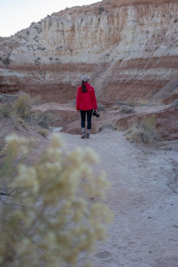
Leaving no trace is an important part of any hike for all of us. The ethical guidelines promote hikers to leave an outdoor space even better than they found it.
It’s important for us as hikers to minimize the negative impact humans have on the environment. By leaving no trace, this will ensure Toadstool Hoodoos Trail will be enjoyed by future generations.
Here’s what you can do minimize impact:
- Do not carve your initials into the rocks
- Do not alter the rock formations in any way
- Dispose of all waste properly
- Stay on the trails
- Leave what you find
And last but not least, avoid touching or climbing the mushroom shaped rocks at all costs. We saw a group climbing very close to the Toadstool Hoodoos for pictures. And while that might be tempting for a selfie, the rock formations are very fragile and at risk of crumbling, so it’s not worth it for a photo.
Best Time To Hike Toadstool Hoodoos Trail
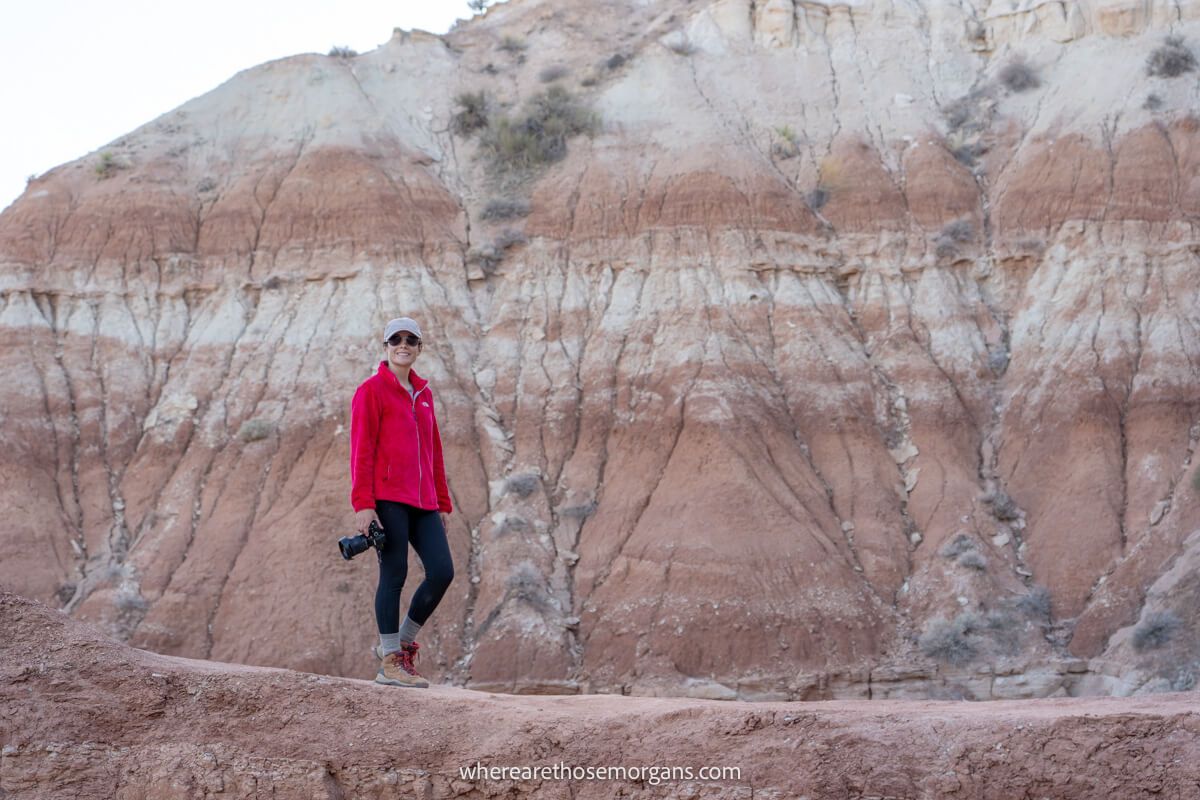
Toadstool Hoodoos Trail is open year round. Spring and fall offer the most comfortable hiking conditions in southern Utah. Summer months are very hot and there’s minimal shade so you’d be exposed for the entire hike. Whereas, in winter you’d be faced with cold mornings and evenings but likely fewer crowds.
We hiked Toadstool Hoodoos Trail late afternoon on a weekday in December and we were comfortable in very light layers. There were only a handful of others on the trail and we had lovely weather. So overall it worked out to be a great time for us to do this hike.
The Morgan Conclusion
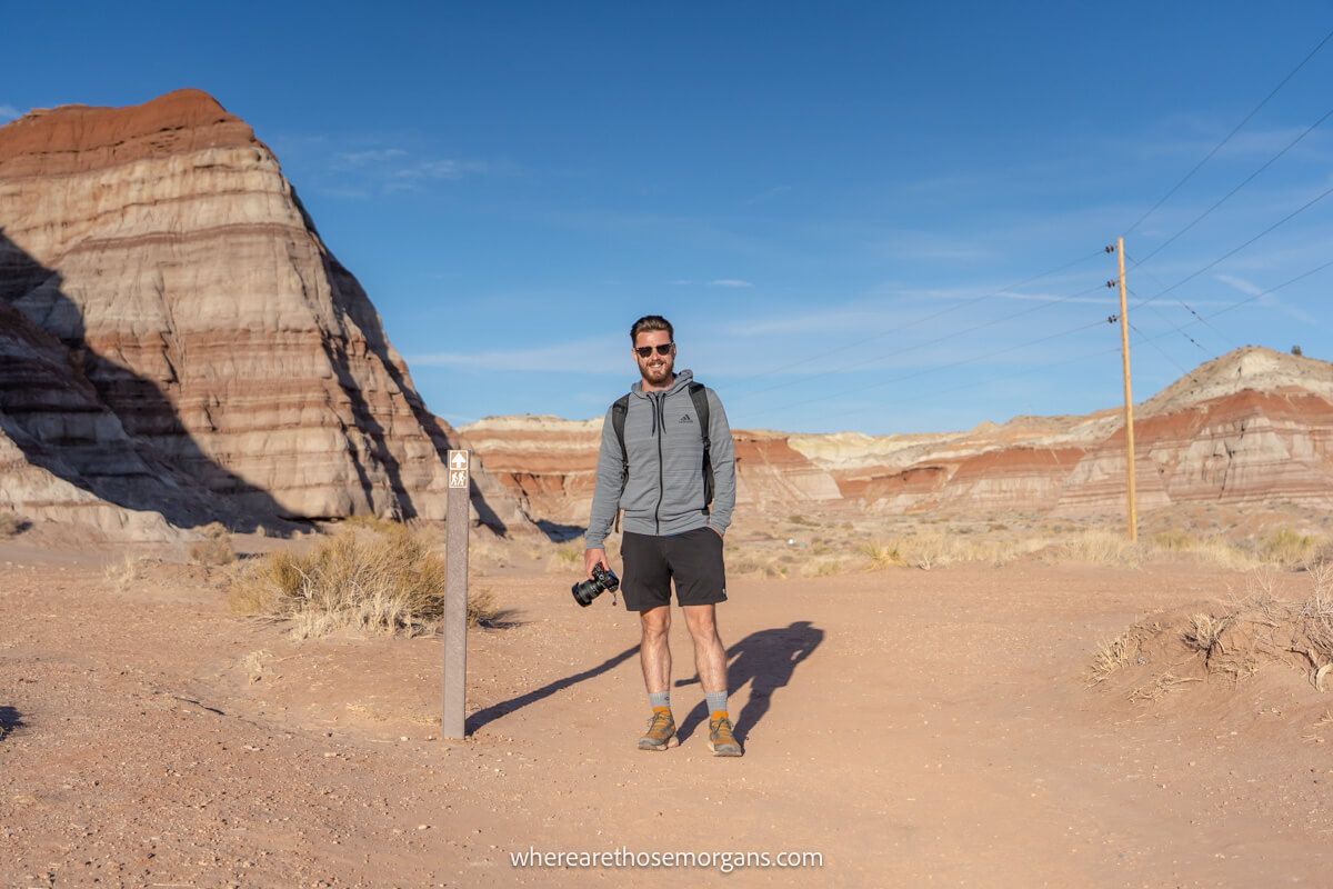
What we liked: We loved how quick, simple, fun and photogenic the Toadstool Hoodoos Trail turned out to be. In truth, our expectations were quite low after doing things like The Wave and Buckskin Gulch, but we really enjoyed how peaceful and easy it was to hike this trail. Seeing the mushroom-shaped rocks alone was well worth the effort. Parking was easy, it was free and we didn’t need a permit.
What we didn’t like: There’s really not much to dislike with this hike. The electricity pylons running through the landscape certainly put a stain on its natural beauty and they’d get in a lot of photos, but otherwise it’s a great hike. The only thing we’d have changed would arriving an hour earlier so we could see more of the landscape in daylight before it all turned to shadow.
More From Kanab
- How to hike The Wave
- Visiting Belly of the Dragon
- How to hike Buckskin Gulch
- Visiting Coral Pink Sand Dunes
- Hike to Dinosaur Tracks in Kanab
- Visiting Moqui Cave Museum
- Hike to Moqui Cave Sand Caverns
Want more Utah content? Head over to our Utah Travel Guides to explore the Mighty Five National Parks and beyond.
We hope our guide to hiking Toadstool Hoodoos helps with planning your visit to southern Utah!
Please let us know if you have any questions in the comments below.
Happy Travels,
Mark and Kristen
Find this guide helpful? Pin it for later!
All Rights Reserved © Where Are Those Morgans, LLC. Republishing this article and/or any of its contents (text, photography, maps, graphics, etc.) in whole or in part is strictly prohibited.

