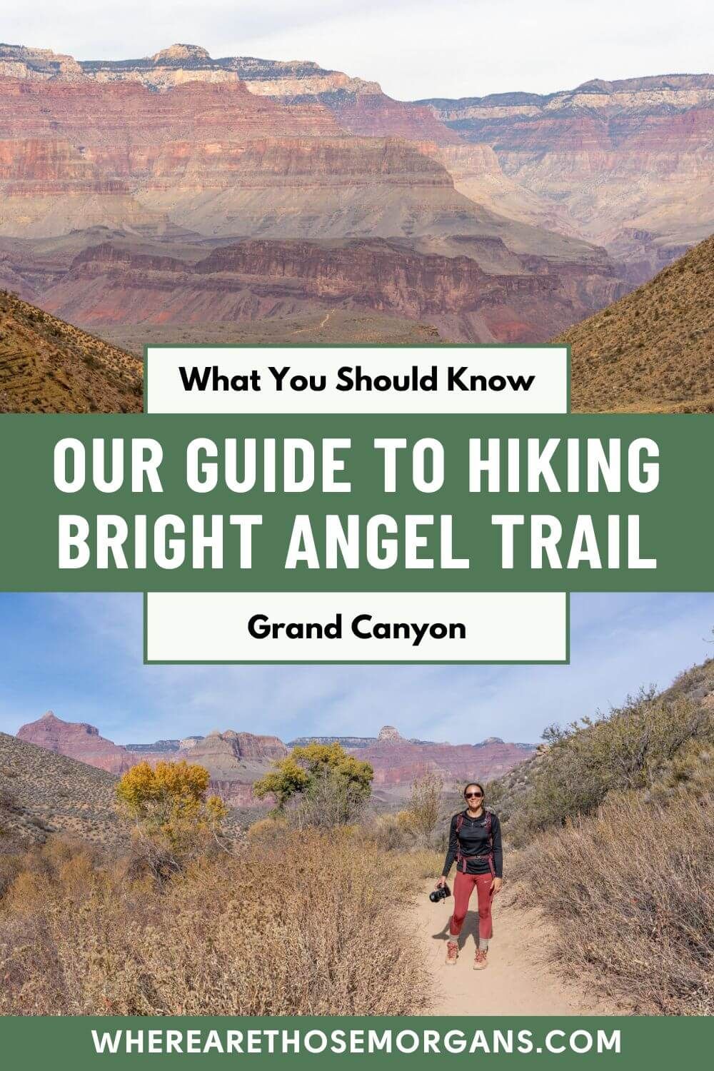
Bright Angel Trail is widely regarded as one of the best hiking trails at Grand Canyon South Rim. We are going to explain everything you need to know about day hiking the iconic Bright Angel Trail.
If you only have one day at Grand Canyon South Rim or you just want a taste of what it is like to hike into the canyon, Bright Angel is your best bet for this once in a lifetime experience.
In this Grand Canyon hiking guide, we will show you:
- The difference between hiking Bright Angel or South Kaibab
- 5 important trail milestones along Bright Angel
- A walkthrough of the Bright Angel Trail hike
- Tips for hiking at Grand Canyon South Rim
- Our Bright Angel Point trail photos
Now, let’s hike Bright Angel Trail in Grand Canyon National Park!
Our Grand Canyon Hiking Experience
We have visited Grand Canyon National Park twice. Once in October 2019 and then again in December 2021 because we knew we wanted to hike down into the canyon.
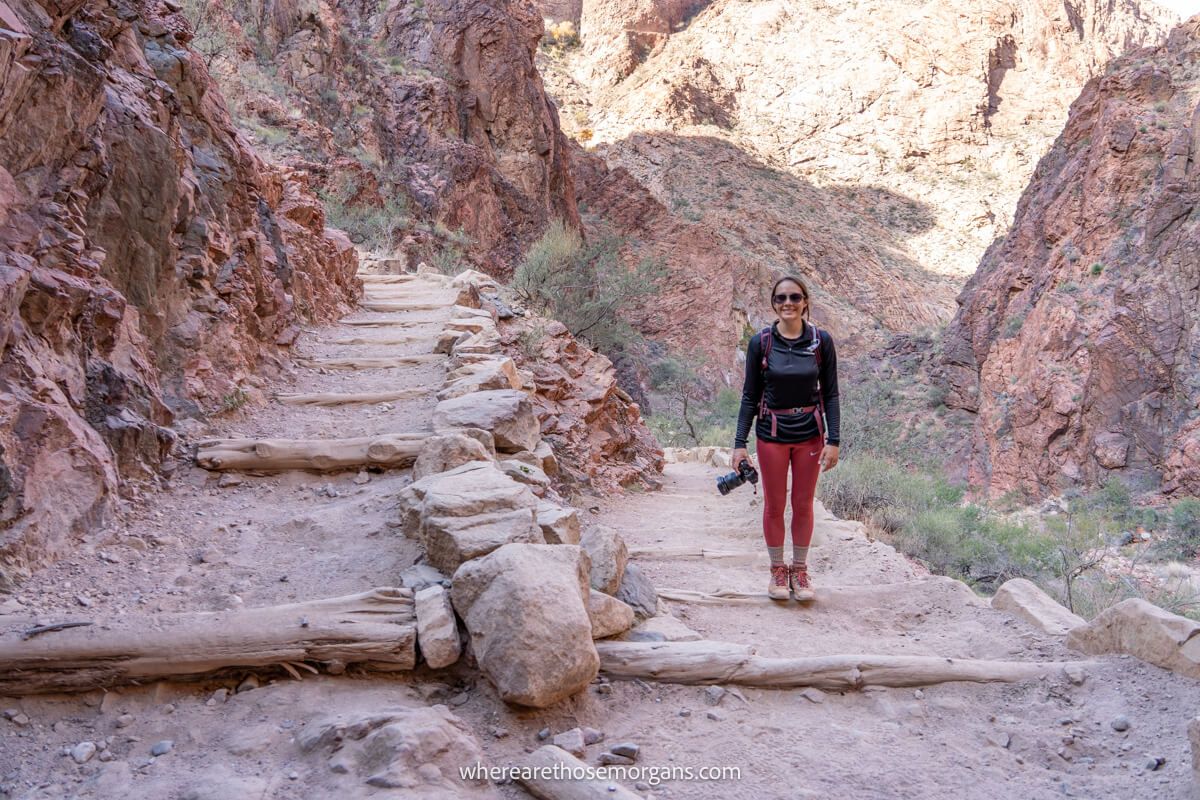
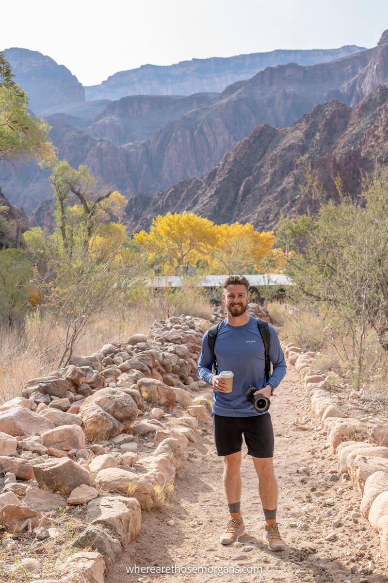
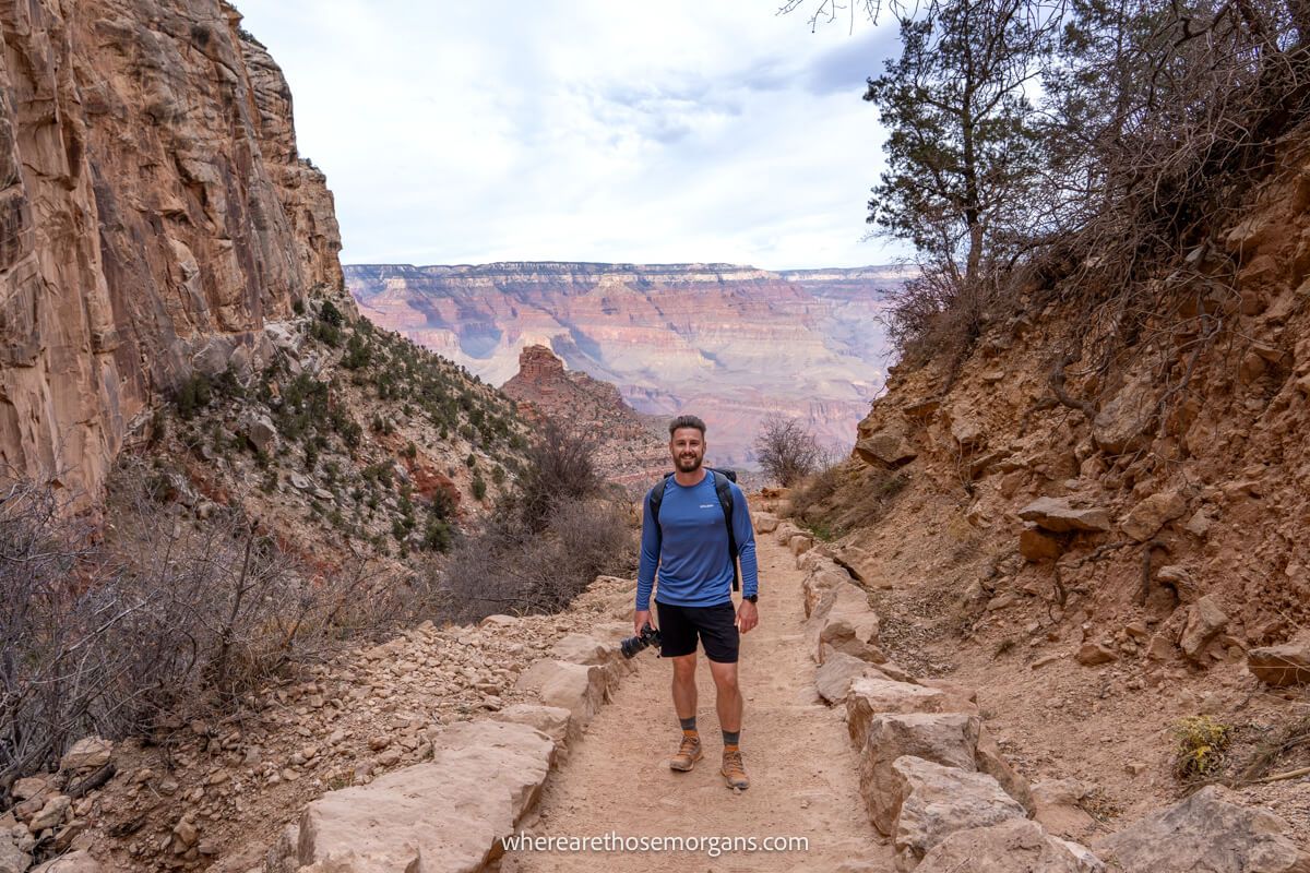
So in December 2021, we returned to South Rim to day hike South Kaibab to Bright Angel via Phantom Ranch. The Bright Angel photos in this guide are from that hike.
We chose to hike both trails partly for the variation because we prefer not to go back on ourselves, but mostly because this trail is one of the best hikes in the USA and it’s been on our bucket list for a long time.
Winter at the Grand Canyon is an incredible experience for many reasons. We visited in early December because this was the perfect month to hike when the temperatures were safe in the canyon.
Before we get into the details of hiking Bright Angel Trail in the Grand Canyon, we are going to cover a few safety tips first because people die in the canyon every year.
We say this not to scare you, but to prepare you because if you are unprepared for your hike, it can be extremely dangerous for you and the people who rescue you.
Bright Angel Trail Versus South Kaibab?
Personally, we think both South Kaibab Trail and Bright Angel Trail are incredibly scenic so it is hard to choose a winner. Both trails are out and back meaning you can turn around at any point.
But when these two trails are compared against each other, the Bright Angel trailhead is easier to access. This trail is also not as steep as South Kaibab so it’s often the more popular route.
If this is your first time hiking into the Grand Canyon, we recommend you start with Bright Angel Trail because there are multiple resthouses you can use to get away from the sun.
For experienced hikers or second time visitors, we recommend South Kaibab because this trail has varied scenery, but it’s very steep with almost no shade.
Hiking Statistics For Bright Angel Trail
We like the Bright Angel day hike because you can easily choose how far you want to go.
Depending on which website you source, the Bright Angel Trail length and elevation change may differ slightly. Here are the trail statistics for Bright Angel to Phantom Ranch according to the NPS:
- Difficulty: Strenuous
- Trail Type: Out and back
- Length: 19.8 miles roundtrip (9.9 miles one way)
- Total elevation change: 4,314 ft
- Dogs allowed: No
- Permit required: No
- Recent Comments: AllTrails
The Bright Angel Trail continues past Havasupai Gardens all the way down to Phantom Ranch located along the Colorado River.
Keep in mind you will have to climb back out of the canyon after hiking down. So it’s important to go only as far as you feel comfortable and you can turn around at any point.
Hiking the entire length of Bright Angel Trail is not recommend by the NPS unless you are hiking in the correct season and you are properly prepared. This means extra food, water and sun protection.
If you plan to hike Rim to River, make sure you read our hiking walkthrough from South Kaibab to Bright Angel in one day via Phantom Ranch. It is very photo heavy so you can get a good feel for the trail.
Not sure what to bring on a day hike? Read our popular guide featuring day hiking essentials you should always carry in your hiking backpack.
Turnaround Points Along Bright Angel Trail
There are 5 main trail milestones along Bright Angel Trail in Arizona and each one makes for a great turnaround point.
Before you hike down Bright Angel Trail, you should think about where you plan to stop and turn around to hike back up to South Rim.
Three main factors will play a role in determining where you should stop when day hiking Bright Angel Trail:
- How much time you have
- The weather
- Your hiking ability
There are a number of points you can use throughout the trail, but we are going to focus on 5 landmarks that are spread evenly throughout the hike.
Here are important milestones for Bright Angel Trail according to the NPS:
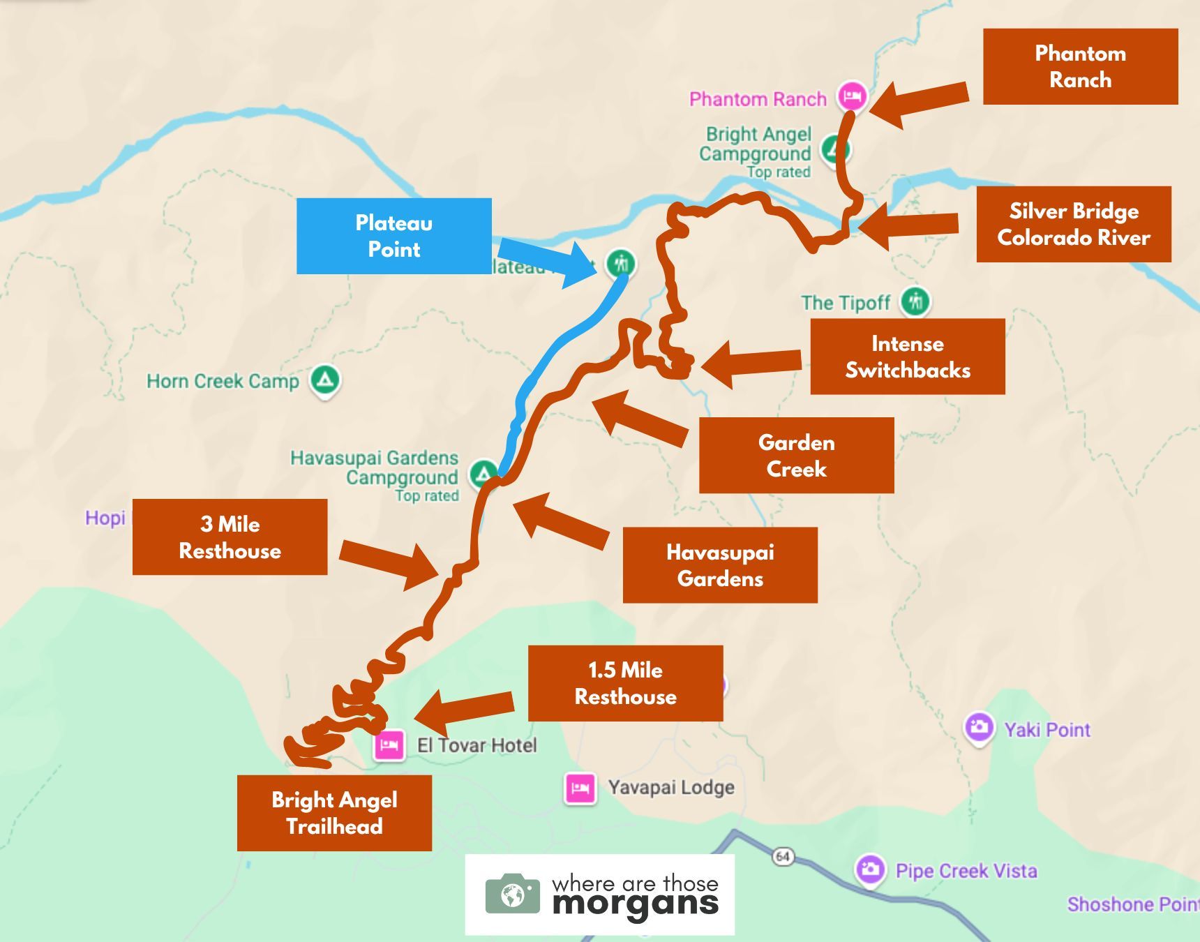
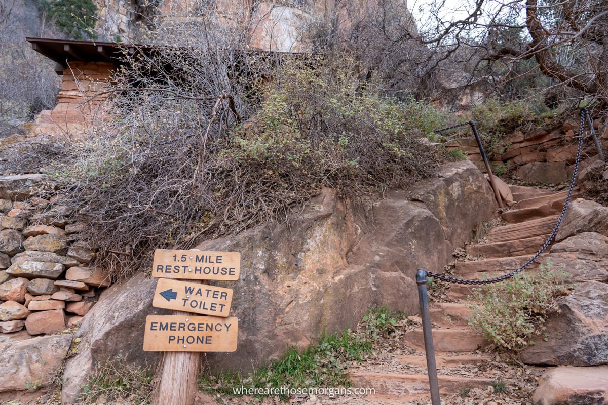
- 1.5 Mile Resthouse – 1.5 miles one way | 3.0 miles roundtrip | 1,120 ft elevation change
- 3.0 Mile Resthouse – 3.0 miles one way | 6.0 miles roundtrip | 2,120 ft elevation change
- Havasupai Gardens – 4.5 miles one way | 9.0 miles roundtrip | 3,040 ft elevation change
- Plateau Point – 6.0 miles one way | 12.0 miles roundtrip | 3,080 ft elevation change
- Phantom Ranch – 9.9 miles one way | 19.8 miles roundtrip | 4,314 ft elevation change
We have struggled to find one source that lists hiking distances for Bright Angel correctly because they are even conflicting on numerous National Park Service pages so just use these points as a guideline.
Take note distances are listed both one way and roundtrip including elevation change. This change includes elevation loss and then elevation gain as you hike back up to the Rim.
Hiking Tip: Do not underestimate the Bright Angel Trail elevation change because it’s much harder to come back up after hiking down into the canyon.
How Long Does It Take To Hike Down Bright Angel Trail?
Let’s take a look at the official NPS suggested times for day hiking to each of the major turnaround points on Bright Angel Trail:
- 1.5 mile Resthouse: 2-4 hours
- 3 mile Resthouse: 4-6 hours
- Havasupai Gardens: 6-9 hours
- Plateau Point: 9-12 hours
- Phantom Ranch: 2 days
So officially, if you want to hike the entire Bright Angel Trail and back up to South Rim, you should spend the night at Phantom Ranch or Bright Angel Campground.
These are guideline timeframes and they are aimed at the average hiker. If you are a very strong and experienced hiker, you will be able to day hike this trail.
If you are new to hiking, follow the timeframes above as listed by the National Park Service.
Can’t find a Campground? Use our exclusive 30 day free trial of The Dyrt PRO to find both free and paid camp sites in Grand Canyon or use Dyrt Alerts to snag a spot at a sold out campground nearby.
Can You Hike Bright Angel Trail In One Day?
Yes, you can hike the entire Bright Angel Trail to Phantom Ranch in one day. But it is only advised for very strong hikers and only when hiking on cool days such as late fall, winter or early spring.
The NPS strongly recommends that visitors do not try to day hike Bright Angel Trail to Phantom Ranch and the Colorado River if they are not prepared or do not have experience with canyon hiking.
NPS rangers have to rescue hikers who try day hiking the entire Bright Angel Trail in the middle of Summer. Sadly, almost every year there are Bright Angel Trail deaths at Grand Canyon.
Most day hikers will choose one of the major Bright Angel Trail landmarks as a turnaround point. The first time we visited South Rim, we only hiked a section of this trail because we were not in the proper shape.
Keep in mind, even if you only go to the 1.5 mile resthouse and back, you’ve hiked 3.0 miles total with an elevation loss and gain of 1,120 ft.
Safety Concerns At Grand Canyon National Park
The two biggest safety issues for a hike on Bright Angel Trail is heat exhaustion and lack of preparedness among hikers.
Carrying enough water is paramount to your wellbeing, particularly if you plan to hike a long way down into the canyon.
Between May and September the temperature can be extremely high on South Rim. But you have to remember Bright Angel trailhead on South Rim is at 6,840 ft elevation.
When you descend into the canyon, the temperature is going to increase exponentially. It will be on average around 20°F (11°C) warmer at Phantom Ranch than at South Rim in Summer.
So, if it’s hot on the rim, do not hike from South Rim to the Colorado River.
Another important consideration is storms. From July to September, monsoons brings violent thunderstorms with lightning. There is very little shelter once you begin hiking into the canyon.
Need help planning your trip to Grand Canyon?
Our popular Grand Canyon travel guidebook helps you with planning every aspect of your visit to South Rim, including the best viewpoints and hikes, where to eat and stay, itinerary ideas and map!
View GuidebookHow To Get To Bright Angel Trailhead
We have one last thing before we get into the Bright Angel Trail walkthrough. One of the major benefits to choosing Bright Angel over South Kaibab is how easy it is to access the trailhead.
You have to take a shuttle or park a mile away from the trailhead and walk to reach South Kaibab trailhead. But the Bright Angel trailhead is located right in the village.
Many of Grand Canyon South Rim’s lodges are a stone’s throw from the trailhead to Bright Angel. None are closer than Bright Angel Lodge, arguably the most popular place to stay on the Rim.
But if you’re staying in a nearby town, or you are just visiting for the day, you can park your car at Bright Angel Lodge parking lot. Unfortunately this lot is small and spaces will fill early.
If you find the lot full, head back to the main visitor center and park there. Even on the busiest days you will still find spaces. You will then have to take the Blue village shuttle to Bright Angel trailhead.
Bright Angel Trail South Rim Hike Overview
Now you know what to expect for safety concerns associated with hiking down into the canyon and how to reach the trailhead.
So let’s dive right into a complete walkthrough of the Bright Angel Trail with each of the 5 major stops along the route.
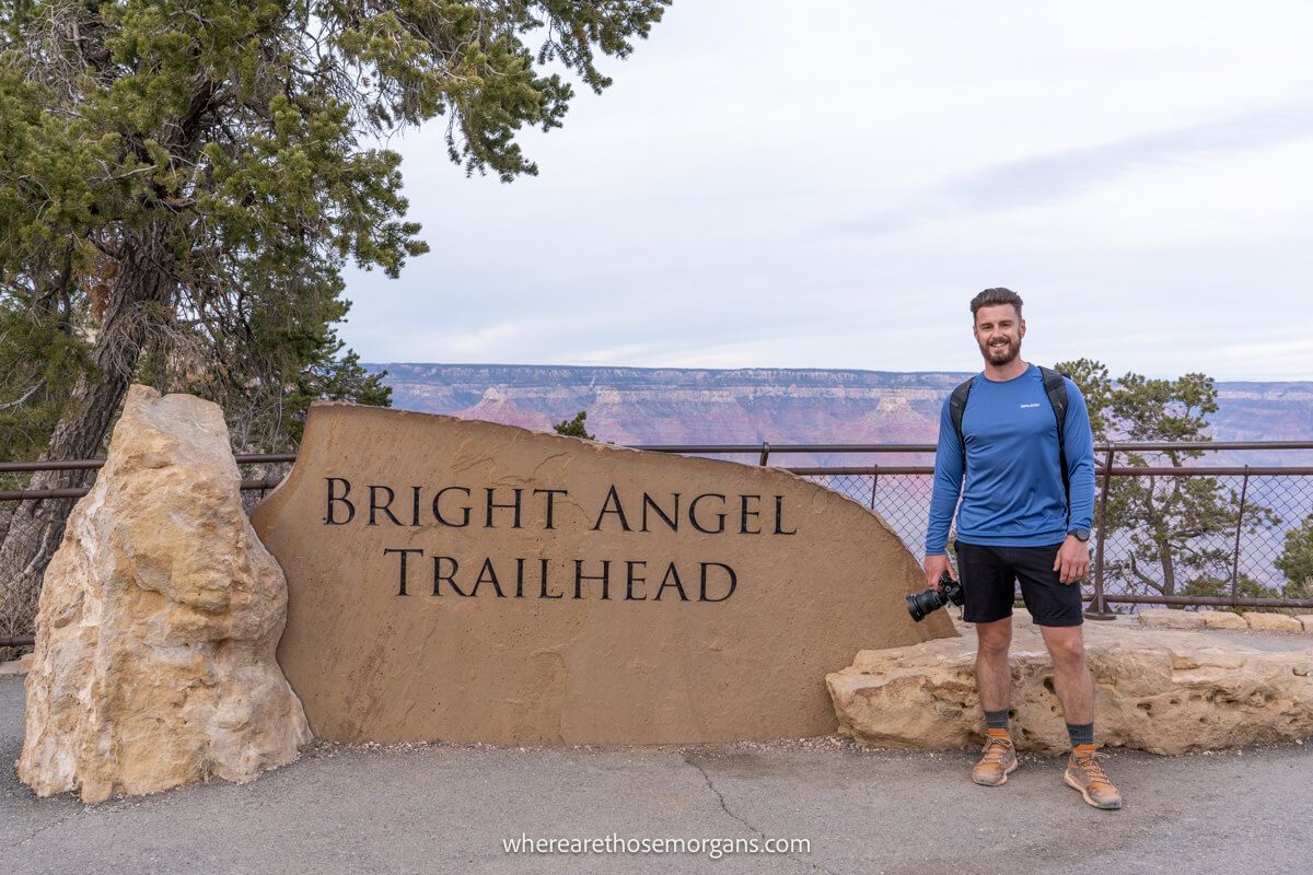
1. Bright Angel Trail To 1.5 Mile Resthouse (1.5 miles)
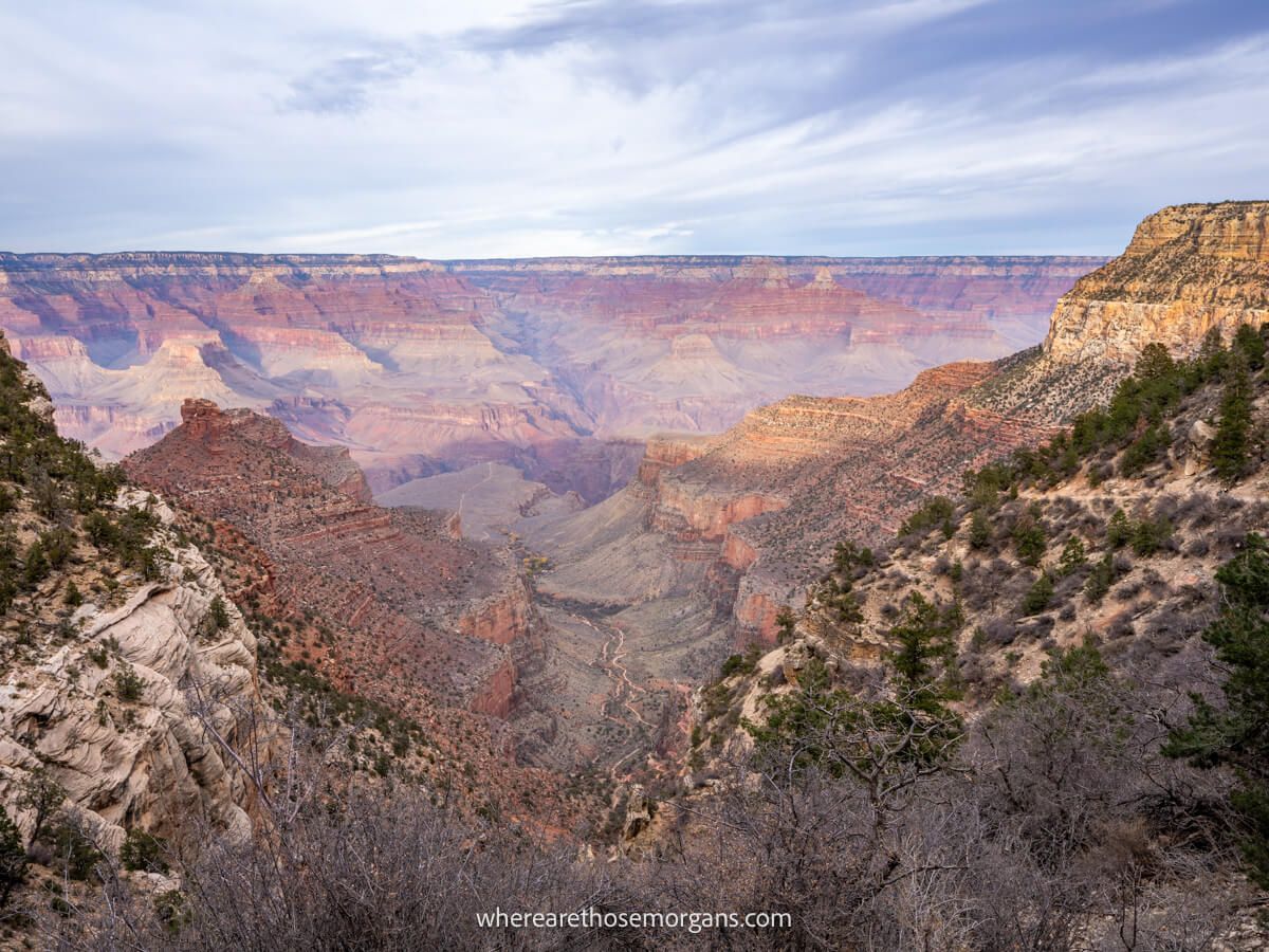
The first section of hiking down Bright Angel is arguably the best for views because you are higher up and get similar amazing views into the Grand Canyon as being on South Rim.
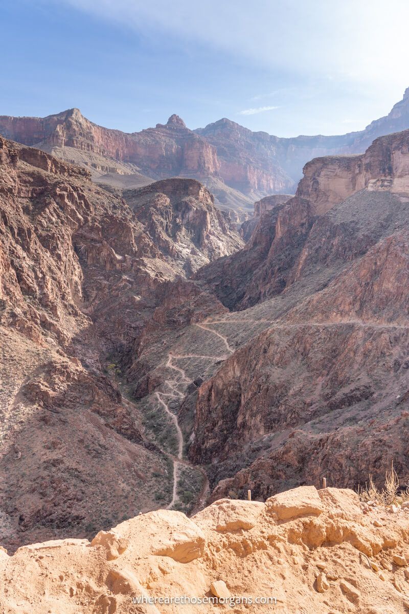
Right from the trailhead, you can see the route snaking intimidatingly through the canyon below.
You will head west for a time, passing underneath one tunnel. Look for the long straight path leading out to Plateau Point, which looks like it drops off the edge of a shelf.
By the time you reach a tight U bend in the trail and head east, you can see a series of switchbacks ahead. Once you make the turn back around, you will pass under a second tunnel.
Here are the exact distances for the two tunnels along Bright Angel:
- 1st Tunnel: 0.1 miles roundtrip | 20 minutes | No elevation change
- 2nd Tunnel: 1.8 miles roundtrip | 1-2 hours | 590 ft elevation change
After passing through the 2nd tunnel, it’s a series of switchbacks to reach 1.5 Mile Resthouse. Views into the canyon are amazing but be sure to turn around to see the canyon looming behind you.
Here are 1.5 mile resthouse hiking stats:
- Elevation change: 1,120 ft
- Water: Available seasonally
- Distance back to the Rim: 3.0 miles
- Time to hike: 2-4 hours
Hiking Tip: Turn around at 1.5 mile resthouse if you are a first time canyon hiker, if it is too hot or if you’re not feeling confident to continue.
2. Bright Angel Trail To 3.0 Mile Resthouse (3.0 miles)
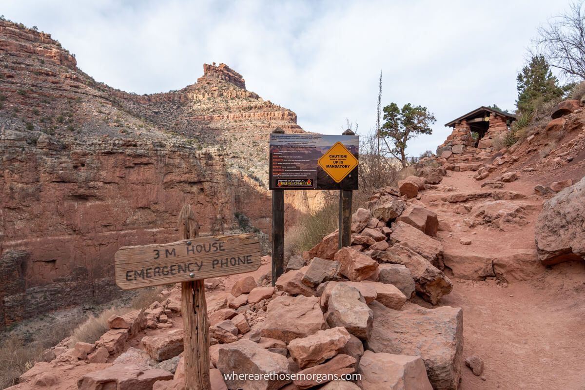
Immediately after the 1.5 mile resthouse, you will come to a vault restroom. Your view remains very much the same throughout this part of the descent.
The goal is to reach that huge opening you can see in the canyon ahead of you. South Kaibab Trail has more variation in terms of the path you follow. On Bright Angel, you can almost always see Plateau Point.
Now, you won’t actually go to Plateau Point if you want to reach the river. It is a spur trail beginning at Havasupai Gardens but you can always use it to gauge distance and elevation during your descent on Bright Angel Trail.
More switchbacks follow, and then some more. You are zig-zagging your way down into the canyon on this day hike toward Bright Angel Campground and Phantom Ranch.
Eventually you will reach 3.0 mile resthouse located right on a series of switchbacks. There is another restroom here, plus seasonal water and an emergency phone.
Here are 3.0 mile resthouse hiking stats:
- Elevation change: 2,120 ft
- Water: Available seasonally
- Distance back to the Rim: 6.0 miles
- Time to hike: 4-6 hours
Hiking Tip: This is a very popular turnaround point for the moderate hiker who wants to hike some of the canyon but also sightsee and maybe catch a stunning Grand Canyon sunset later in the day.
3. Bright Angel Trail To Havasupai Gardens (4.5 miles)
In November 2022, the U.S. Board of Geographic Names voted on behalf of the Havasupai Tribe to change the name of Indian Garden to Havasupai Gardens. This is the official Bright Angel Trail name change.
But as you hike, turn around and look up. It’s hard to believe that you’ve descended over 2,000 ft and it’s 3.0 miles to get back up to the Rim. Are you feeling confident to continue?
The good news is that it’s easy going for a while. The bad news is that your view isn’t going to change or get any better until after Havasupai Gardens.
So if you’re deciding on whether to continue based on views alone, turn around at 3.0 mile resthouse.
You have reached a flatter part of the plateau now, sandwiched between towering walls to each flank. The next mile and a half to Havasupai Gardens are the easiest part of day hiking Bright Angel Trail.
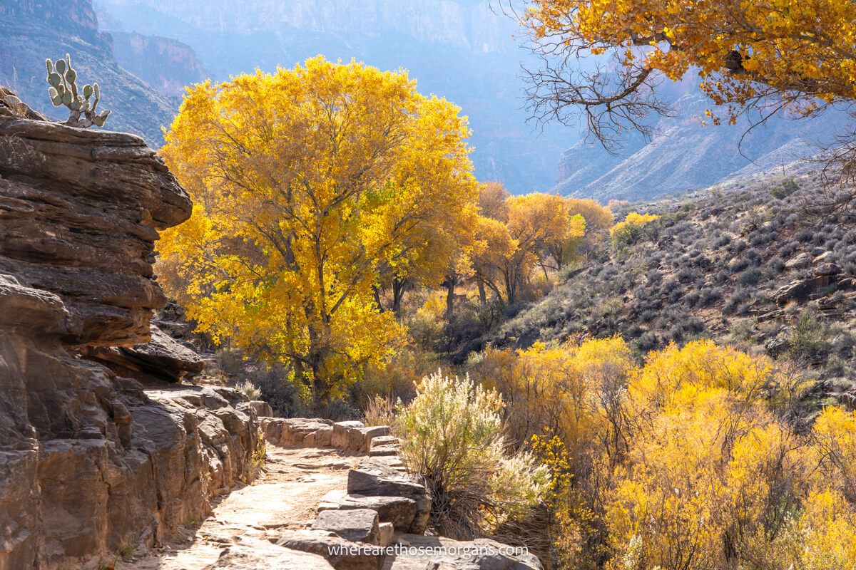
You will know Havasupai Gardens isn’t far away when all of a sudden you find yourself surrounded by small trees, cacti and other vegetation. The trail is so gradual at this point that it is actually flat at times.
Once you reach Havasupai Gardens, you will notice there’s a lot more going on here. There are day use areas, restrooms, water stations, a ranger station and even a campground.
You will be surprised by how green and pretty Havasupai Gardens is based on what you can see when you look into the canyon from the Rim. And it gets even better right after you leave the campground area.
Here are Havasupai Gardens hiking stats:
- Elevation change: 3,040 ft
- Water: Available year-round
- Distance back to the Rim: 9.0 miles
- Time to hike: 6-9 hours
Hiking Tip: This is a natural place for a strong hiker to turn around if out for a half day hike. Any moderate hikers should go no further than Havasupai Gardens.
4. Bright Angel Trail To Plateau Point (6.0 miles)
Plateau Point is a bit of an anomaly on this list of stops you can use as a turnaround point during your day hike down Bright Angel Trail. You can see it from almost every part of this hike, so why is it different?
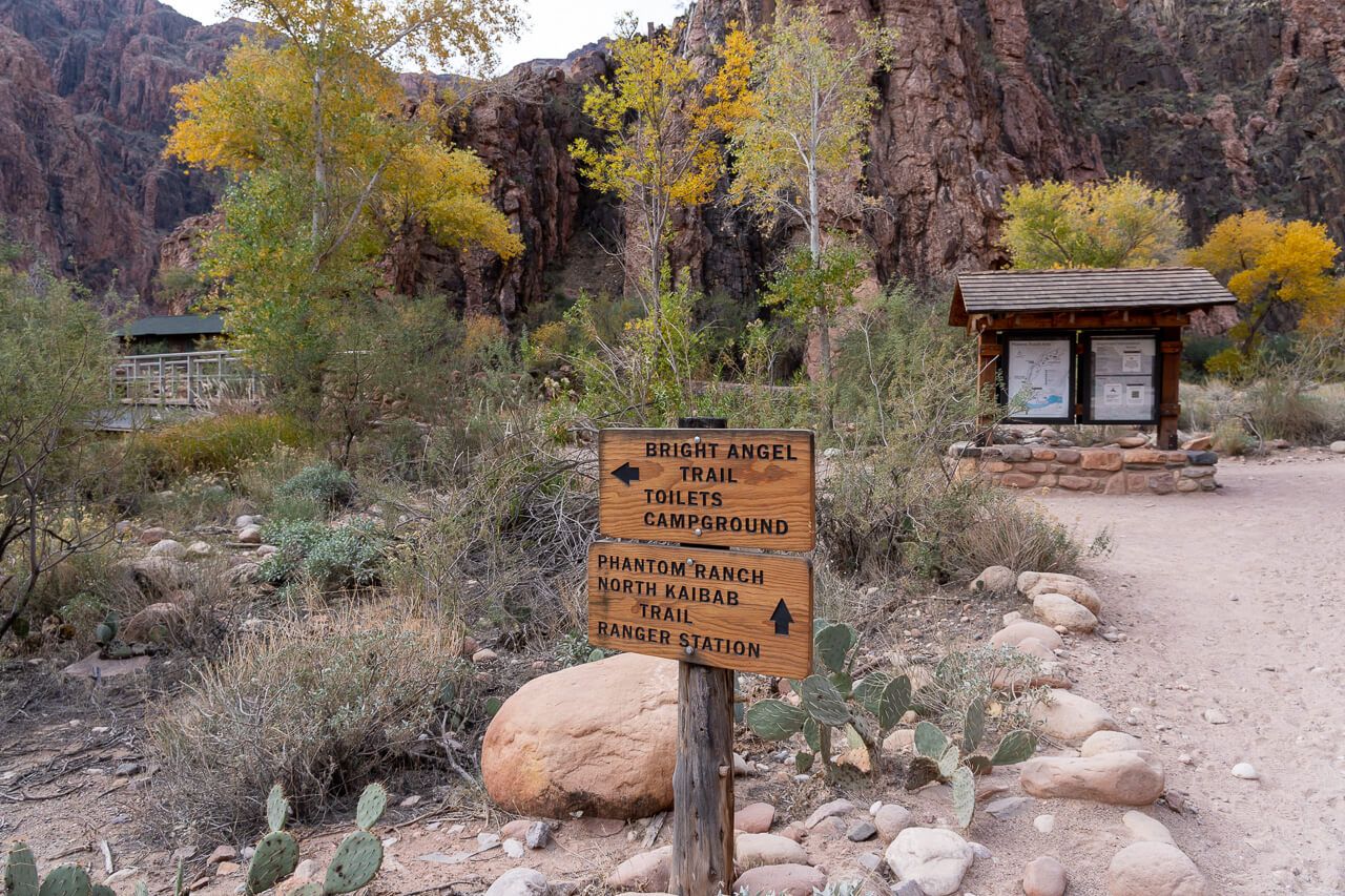
Well, it’s actually a spur trail leading away from Bright Angel Trail. You can take it when you reach a fork in the trail as you walk through Havasupai Gardens. Left takes you onto Plateau Point Trail and right is for Bright Angel Trail.
Why would you leave Bright Angel Trail and do Plateau Point instead of trying to reach the river? Honestly, we think this one is more for hikers who have been to Phantom Ranch and the Colorado River before.
Plateau Point looks awesome from above when walking down and it would be great to hike to its climax. But we certainly would not recommend you do this and then try to go to Phantom Ranch.
By hiking to Plateau Point, you are happy with getting to Havasupai Gardens but feel like you have a bit more left in the tank.
Notice the elevation difference is just 40 ft from Havasupai Gardens to Plateau Point?
That means you could pretty quickly hike the 3 miles roundtrip to Plateau Point and back to Havasupai Gardens to add some distance to your day hike before heading back up to the Rim.
Here are Plateau Point hiking stats:
- Elevation change: 3,080 ft
- Water: Available seasonally
- Distance back to the Rim: 12.0 miles
- Time to hike: 9-12 hours
Hiking Tip: Not many hikers use this as a turnaround point but it is an obvious landmark to use throughout the day hike.
5. Bright Angel Trail To Phantom Ranch (9.9 miles)
The remaining trail to Phantom Ranch is for experienced and in shape hikers.
Just to reiterate, we trained for this hike, ate well, hydrated for days, started the hike right at sunrise and carried plenty of water as well as food. So if this sounds like you, keep hiking!
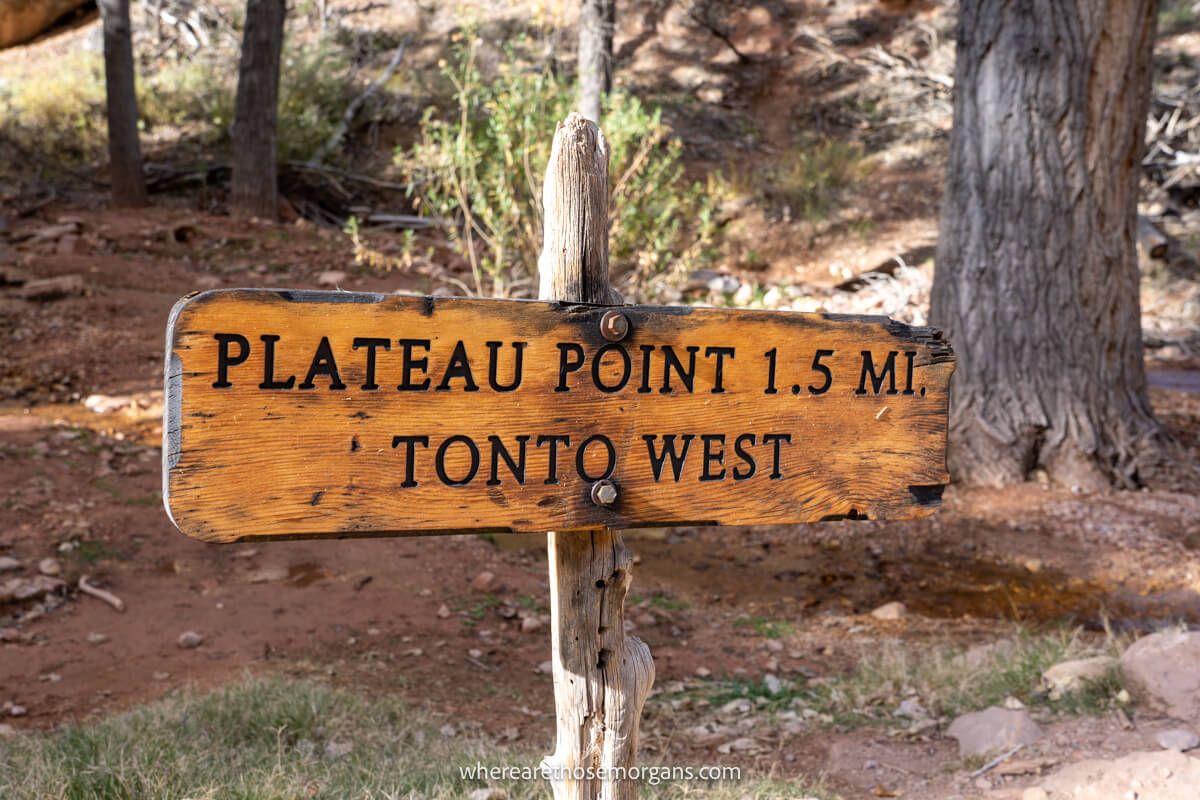
Right after leaving Havasupai Gardens, you will come to a fork in the trail called Tonto East. This leads to Tonto West at the 6 mile mark on South Kaibab Trail.
You stay on Bright Angel Trail following Garden Creek and almost immediately the path comes alive with colorful leaves and bushes. Walking through the creek was our favorite part of hiking Bright Angel.
When comparing Bright Angel to South Kaibab, this section is a big one-up for Bright Angel. After hours of walking into the same view, you finally change up the scenery after leaving Garden Creek.
All of a sudden you turn a corner and see a trail stretching a long way before turning into 10 switchbacks. It is the biggest ‘wow-moment‘ on the Bright Angel Trail hike.
Once you’re down, it’s a 1.0 mile straight shot to Pipe Creek resthouse, which has restrooms.
And you are finally at the Colorado River!
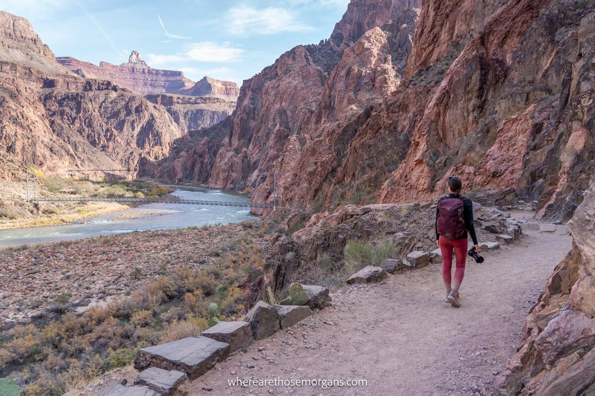
There is a beach you can walk down to, or you can continue to walk alongside the river on a flat path until you reach Bright Angel Bridge a mile away.
Cross the bridge, walk through Bright Angel Campground and finally reach Phantom Ranch. Take a moment to enjoy, but this is the end of the road for a day hike. Time to turn around and go right back up!
Here are Phantom Ranch hiking stats:
- Elevation change: 4,314 ft
- Water: Usually available year-round (unless pipes break)
- Distance back to the Rim: 9.9 miles
6. Climb Out Of The Grand Canyon
Be mindful of your time at Phantom Ranch. You will be feeling great standing at the bottom of the Grand Canyon but you still have a climb back to the Rim. It’s a heck of a way, trust us on that one!
If you set off early, you should still have plenty of daylight hours left. Take your time on the ascent, don’t try to rush it. The good news is you will experience a gradual incline going back up Bright Angel Trail.
The bad news is it is 9.9 miles of non-stop elevation gain.
You know the route now, so the fear of the unknown won’t be a factor. You can use the same landmarks on the way up to gauge your progress.
If you do day hike the whole trail, we’ll be honest and let you know that the going gets tough from 3.0 mile resthouse all the way to the top.
Fatigue sets in and you know you’re getting closer so you begin to switch off. Keep your concentration and remember to keep snacking.
This is one of the top bucket list hiking trails in the world. The most important thing to remember, no matter how far you plan to hike, is to enjoy every moment!
Need a hiking gift? Don’t miss our popular gift guide featuring the best gift ideas for hikers.
Tips For Planning Your Hike
Here are some things you should consider when planning to day hike Bright Angel.
- It is much safer to hike Bright Angel at the right time of year such as the late fall, winter and early spring but you have to account the shorter daylight hours.
- Eat the right foods and hydrate in the days leading up to your hike. Get a good night’s sleep the night before.
- Track your progress with an offline map downloaded to one of the best hiking apps on the market.
- Set off early in the morning if you intend to day hike to Phantom Ranch and back to the South Rim. Be on the trail at first light.
- Carry plenty of water, food and snacks. Increase the amount you take for each stop you plan to hike beyond.
- Carry a head lamp for the morning and in case the light begins to fade on your way back up.
- Wear comfortable but durable footwear, basic running shoes are not going to cut it for a longer hike. You should be wearing sturdy hiking boots or trail runners.
- Always carry a means of treating water. We typically carry a LifeStraw in case of emergency but you can also use water purification tablets.
- Keep track of your time and give yourself a cut off time for turning around. If you don’t get as far as you wanted, do not push it. Play it safe and turn around so you make it back out before total darkness.
Hiking Resources
The most essential thing to remember is that it can take about twice as long to hike back up to the Rim than it does to hike down into the canyon. 2 hours down could be 4 hours going up.
If you are new to hiking or want to brush up on your skills, check out this hiking tips for beginners guide to help you prepare for the trail.
Take a look into these helpful resources before starting your hike into the canyon. These will help you keep track of the Bright Angel Trail conditions prior to your hike.
- Drinking water – Important backcountry hiking updates
- Weather – Grand Canyon National Park live weather conditions
- Webcams – See the Bright Angel Trail live webcam
Grand Canyon Bright Angel Trail FAQ’s
Let’s take a look at some of the questions we are asked the most about hiking Bright Angel Trail into the Grand Canyon.
Many visitors day hike sections of the Bright Angel Trail, but this trail can be dangerous if you hike during the wrong season and you are not prepared.
It is not recommended to hike in the summer months because temperatures in the canyon often exceed 100°F (38°C). The best time to hike Bright Angel Trail is October to May, but you will have to watch for ice if hiking in the winter months.
Bright Angel is not an extremely difficult trail to hike in the sense that it isn’t technical, there are no climbing elements and it is not as steep as South Kaibab Trail. However, if you decide to go all the way down to the Colorado River, it is very long and you are slowly climbing for the entire second half of your hike. Rim to River on Bright Angel is rated as very strenuous.
Our Popular Grand Canyon Guides
- Itinerary – Grand Canyon South Rim one day itinerary
- Best Hikes – 17 amazing day hikes at Grand Canyon National Park
- Photography – Sunrise and sunset locations at the Grand Canyon
- Hotels – Where to stay at Grand Canyon South Rim
- Winter – 10 tips for visiting the Grand Canyon in winter
- Season – What to expect each season at the Grand Canyon
- Viewpoints – Best viewpoints along Grand Canyon South Rim
- Transport – Best airports to use for Grand Canyon National Park
More Arizona Hiking Guides
- Day Hike – South Kaibab to Bright Angel in one day
- South Kaibab – Guide to each stop along South Kaibab Trail
- Sedona – 20 Amazing hikes in Sedona, Arizona
- The Wave – Essential guide to hiking the Wave in Arizona
- Wave Permit – How to win a permit to hike the Wave
Want more Arizona content? Head over to our Arizona Travel Guides to explore the best of Grand Canyon, Sedona and beyond.
We hope this day hiking guide to the Grand Canyon Bright Angel Trail helps you plan your hike!
Please let us know if you have any questions about how to hike Bright Angel Trail or hiking at Grand Canyon National Park in the comments below.
Happy Travels,
Mark and Kristen
Enjoy This Bright Angel Trail Guide? Pin It For Your Visit!
Note: This article contains affiliate links. When you make a purchase using one of these affiliate links, we may earn a small commission at no extra cost to you.
All Rights Reserved © Where Are Those Morgans, LLC. Republishing this article and/or any of its contents (text, photography, maps, graphics, etc.) in whole or in part is strictly prohibited.
Mark and Kristen Morgan are travel, hiking and photography experts. Over the last 6 years traveling full time, they have explored more than 40 countries and 30 US states.
Where Are Those Morgans has been featured in USA Today, Gestalten, Get Your Guide, CityPASS and Condé Nast Traveler along with various other publications. Read more about us.
That was a great article and gave some info that we had not thought about . WE had planned to go in May but some “things” have come up so probably end of October. Do you think it is too cold to do in Novemner? Thank you
Hi Sally, no you should be fine in November as long as there are no abnormal weather fronts. We hiked Bright Angel in December and had perfect conditions, it was cold in the morning on the Rim but it soon warmed up enough for shorts and t-shirts. Have a great hike!